High Spring Creek
Total Miles
6.7
Technical Rating
Best Time
Summer
Trail Type
50" Trail
Accessible By
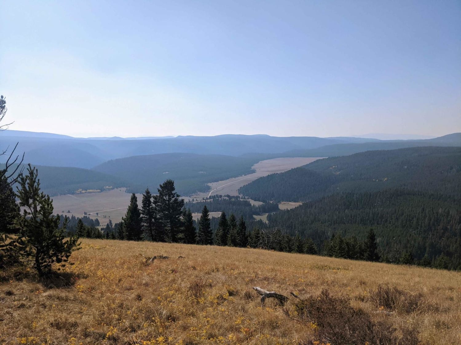
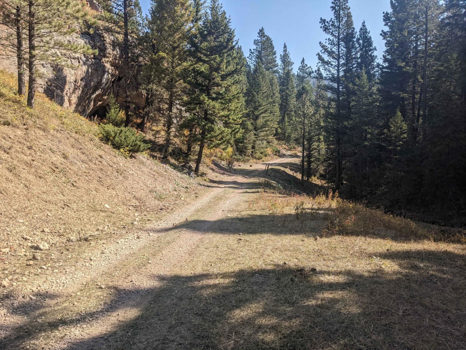
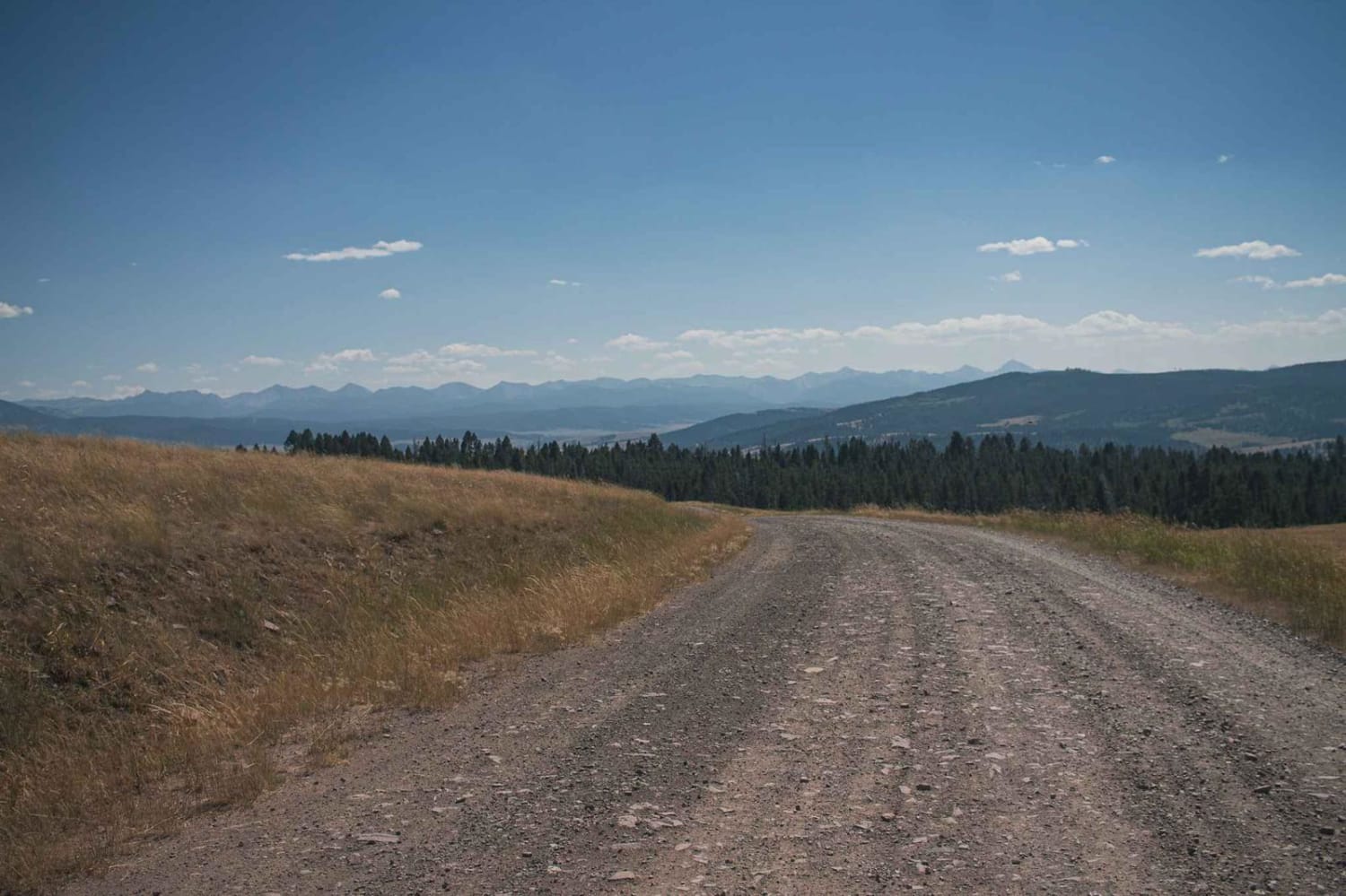
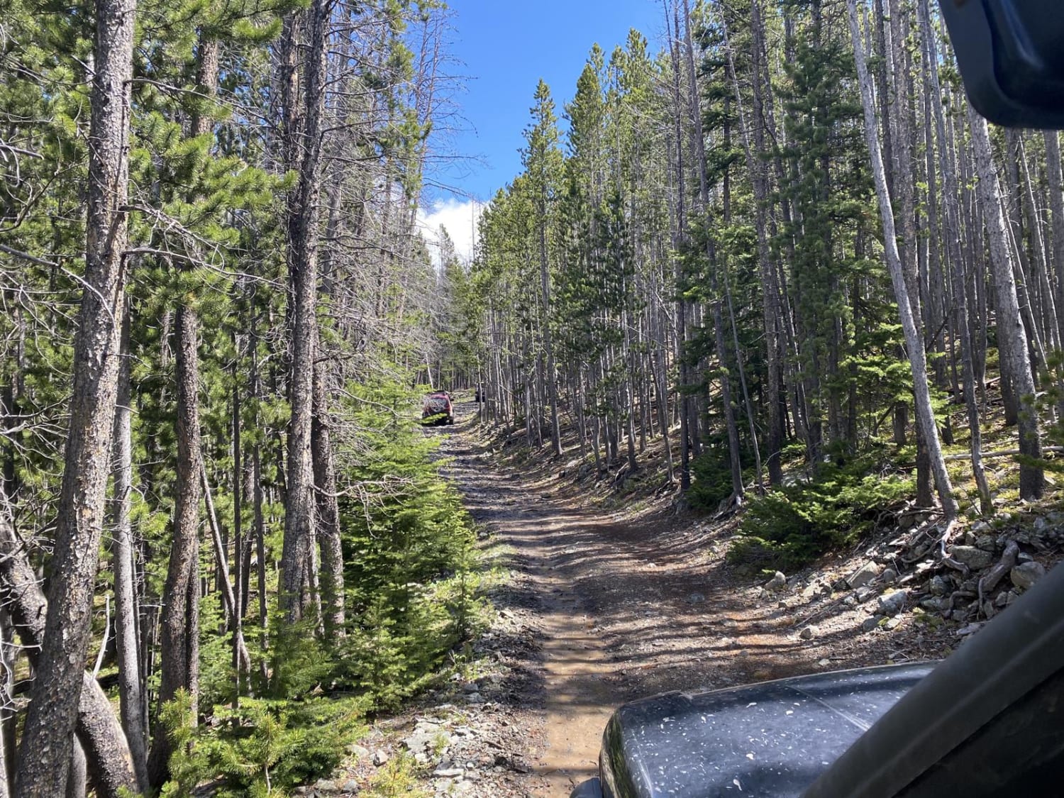
Trail Overview
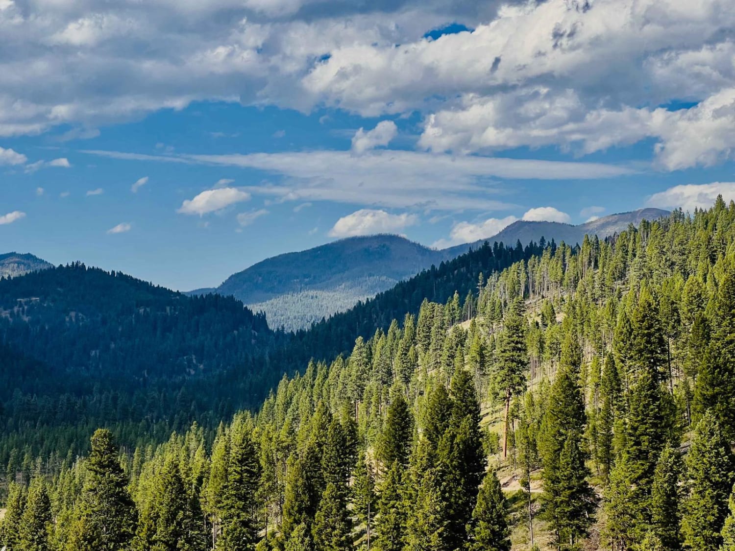
These are nice views along the middle section overlooking the valley below and Russian Flat. The ride is easy going on the western half of the trail with a few more difficult sections on the eastern half but nothing too technical. This is a nice trail for a leisurely ride to get out and enjoy the views. If you keep your eyes open, you may notice a small structure on the side of a hill across High Spring Creek from the trail near the eastern end. Expect some mud in the spring or after a lot of rain. Downloading offline maps is a good idea here. The 1.5hr time given is one way, taking it easy and stopping to enjoy the views.
Photos of High Spring Creek
Difficulty
One of the smoother trails in the area except for a brief steep section on the eastern end.
Status Reports
High Spring Creek can be accessed by the following ride types:
- ATV (50")
- Dirt Bike
High Spring Creek Map
Popular Trails

Ramshorn Lake #160
Skyline Mine Trail
Johnson Peak Trailhead
The onX Offroad Difference
onX Offroad combines trail photos, descriptions, difficulty ratings, width restrictions, seasonality, and more in a user-friendly interface. Available on all devices, with offline access and full compatibility with CarPlay and Android Auto. Discover what you’re missing today!