Gyp Springs Road
Total Miles
8.9
Technical Rating
Best Time
Spring, Summer, Fall, Winter
Trail Type
Full-Width Road
Accessible By
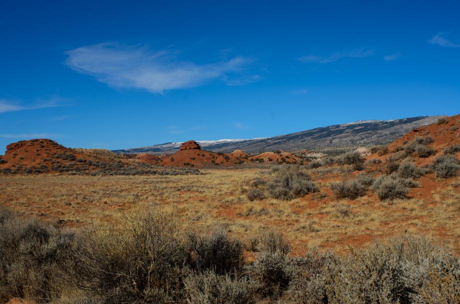
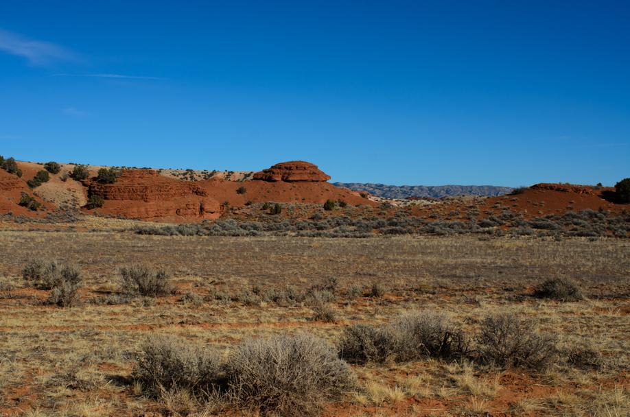
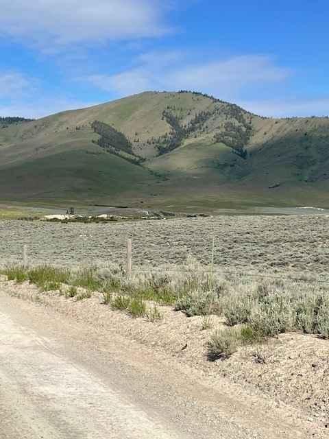
Trail Overview
Gyp Springs Road provides a quick access between Hwy 310 at Warren, Montana to Hwy 37, northeast of Lovell, Wyoming, which leads to the southern end of the Bighorn Canyon National Recreation Area. Gyp Springs Road is a well-maintained gravel road and is accessible throughout most of the year with a low-clearance 2WD vehicle. Gyp Springs Road provides access to Petroglyphs Canyon Natural Trail. Traveling southeast along the southwest-facing Pryor Mountains, this road will give you access to the Triassic Chugwater Formation (Red Hills). Dispersed camping is available. Cellular coverage is available throughout most of the trail.
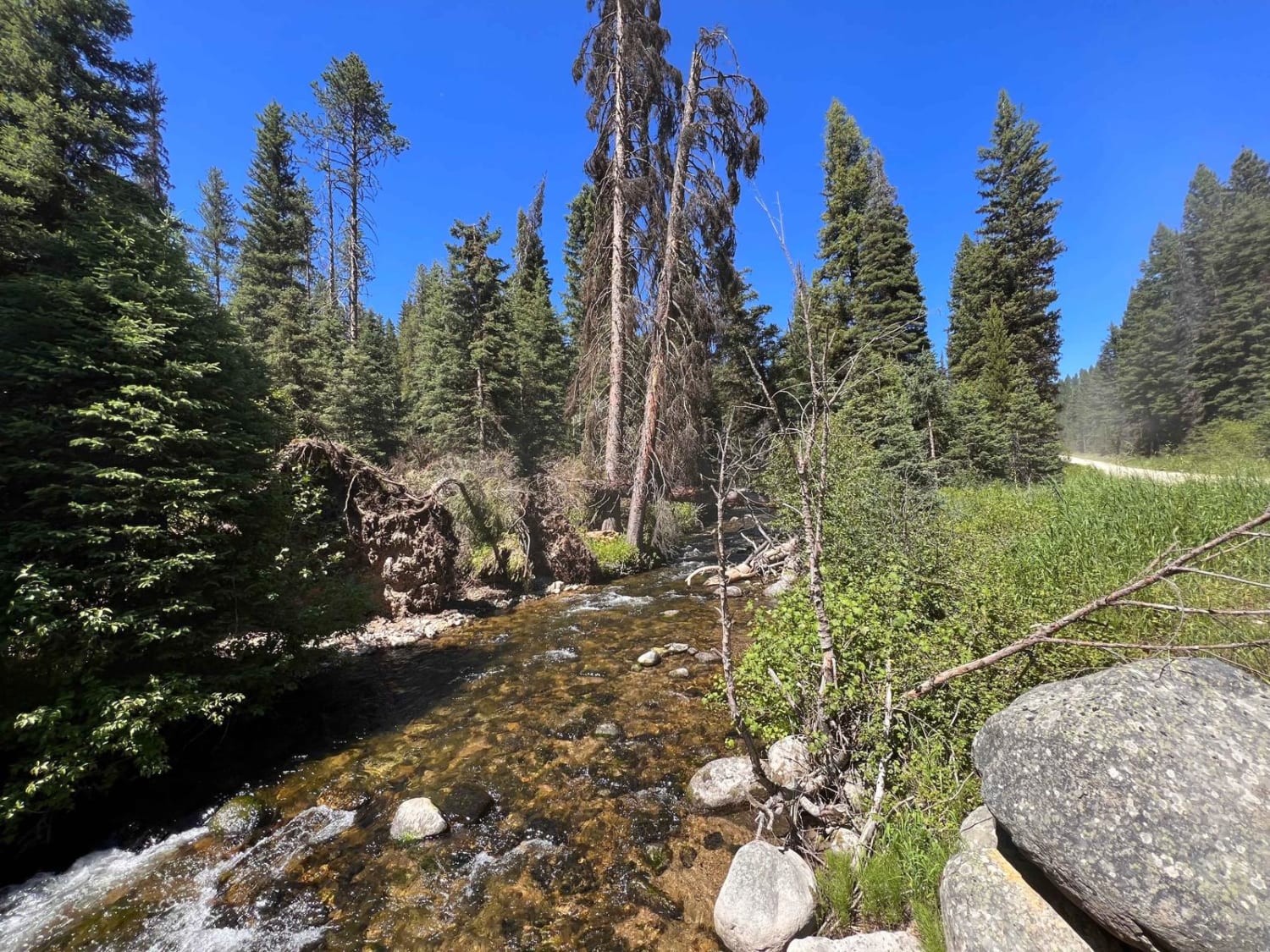
Photos of Gyp Springs Road
Difficulty
Well-maintained gravel road.
Status Reports
Gyp Springs Road can be accessed by the following ride types:
- High-Clearance 4x4
- SUV
- ATV (50")
- Dirt Bike
Gyp Springs Road Map
Popular Trails

Park Creek Road - FS 607
Niarada to Irvine Flats
Moose Creek & Trail 40
The onX Offroad Difference
onX Offroad combines trail photos, descriptions, difficulty ratings, width restrictions, seasonality, and more in a user-friendly interface. Available on all devices, with offline access and full compatibility with CarPlay and Android Auto. Discover what you’re missing today!