Emerine Trail
Total Miles
8.6
Technical Rating
Best Time
Summer
Trail Type
Full-Width Road
Accessible By
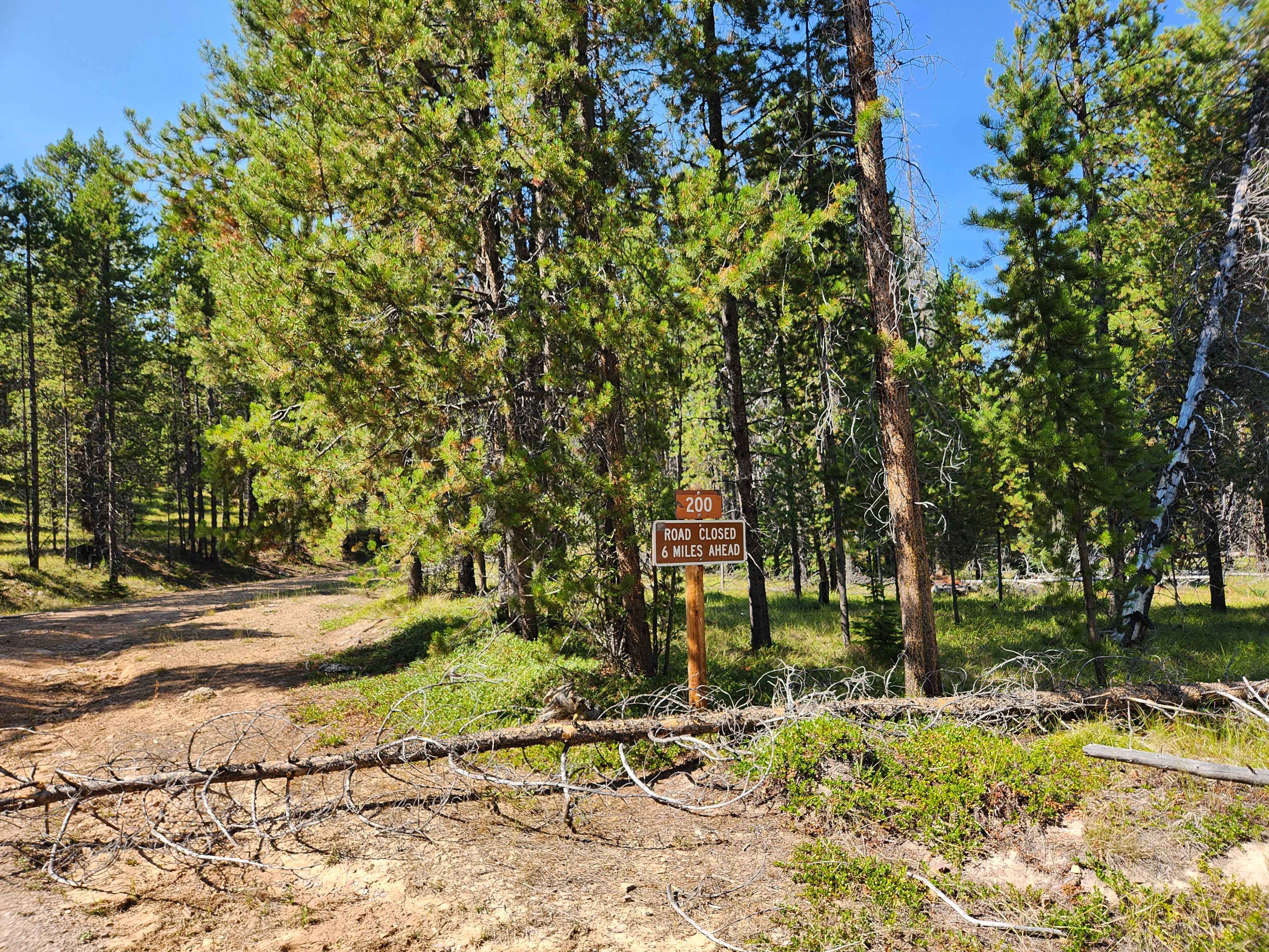
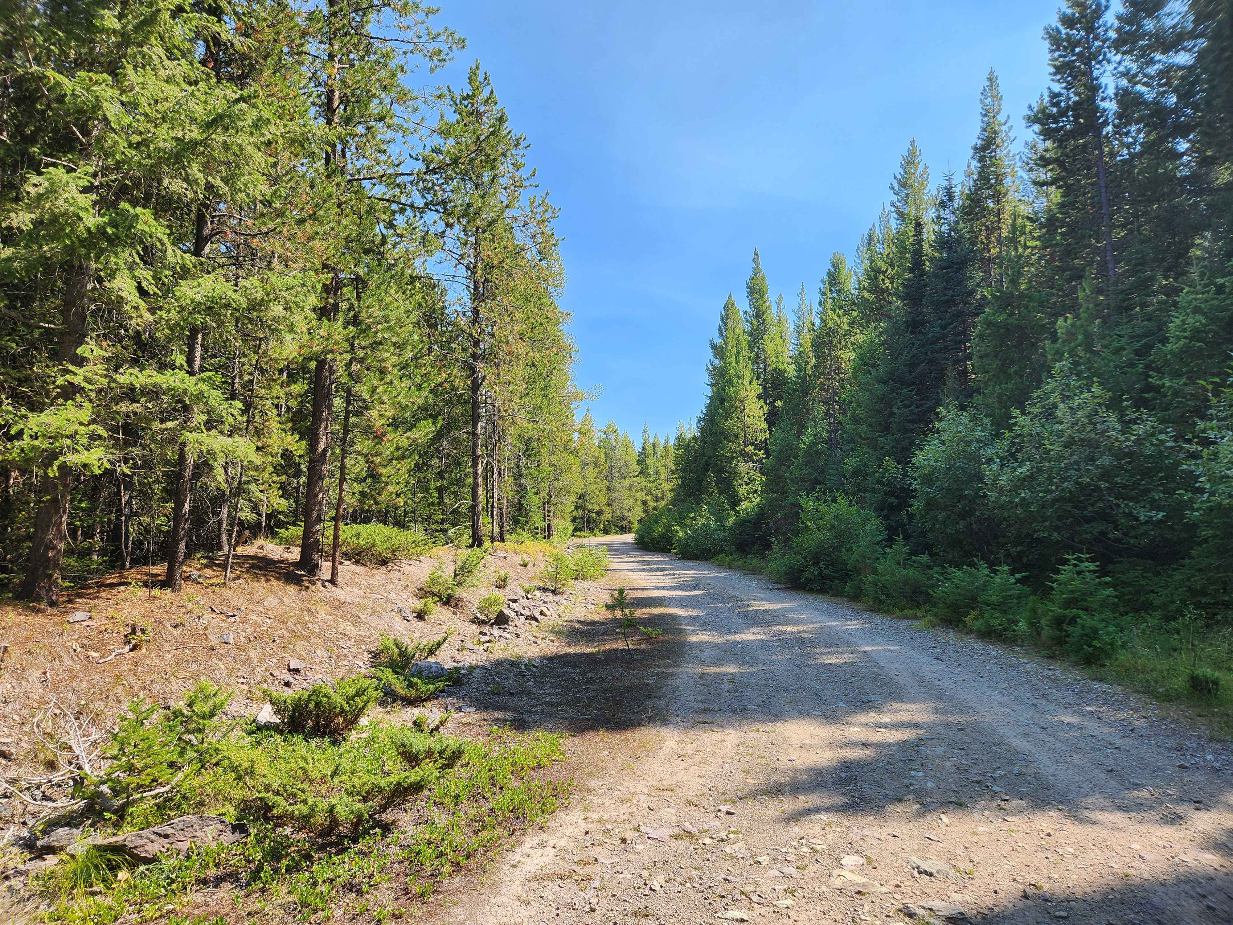
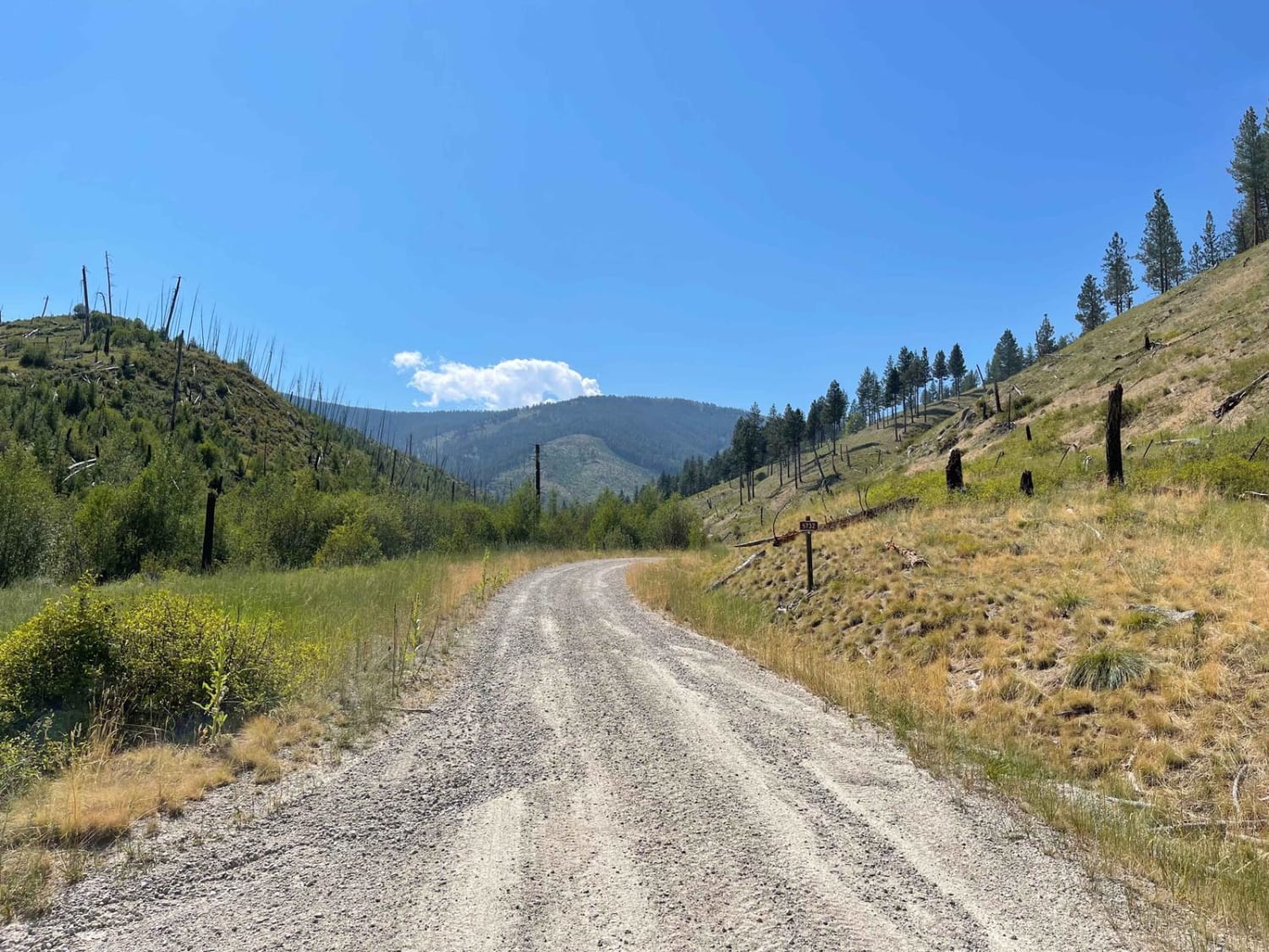
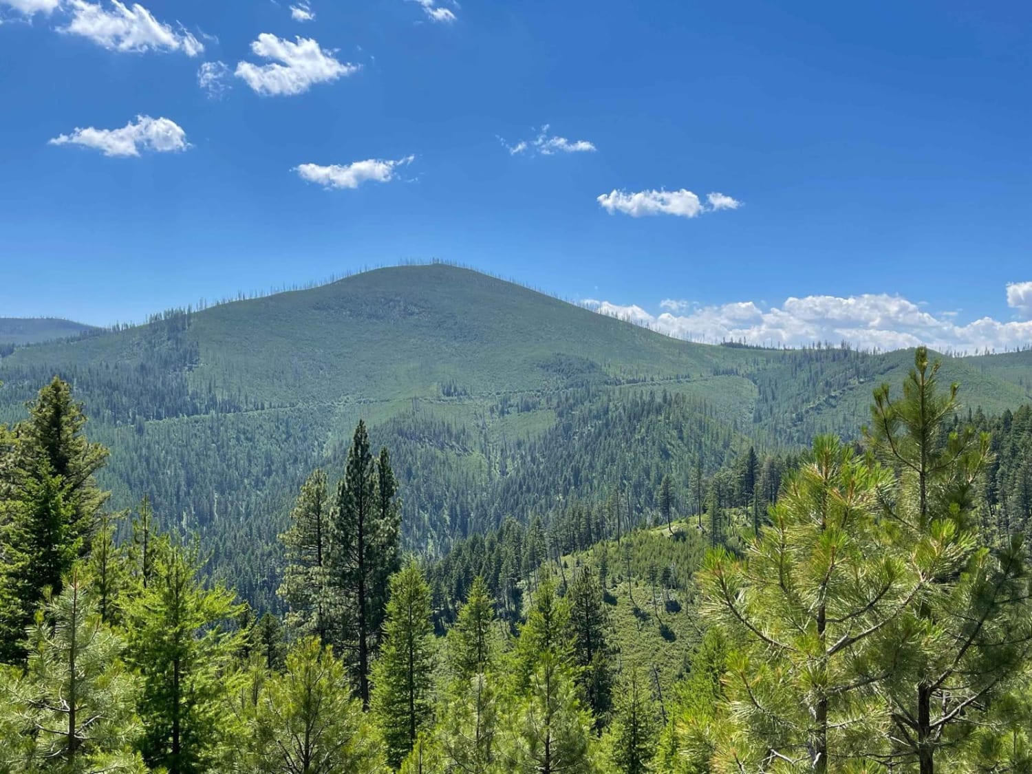
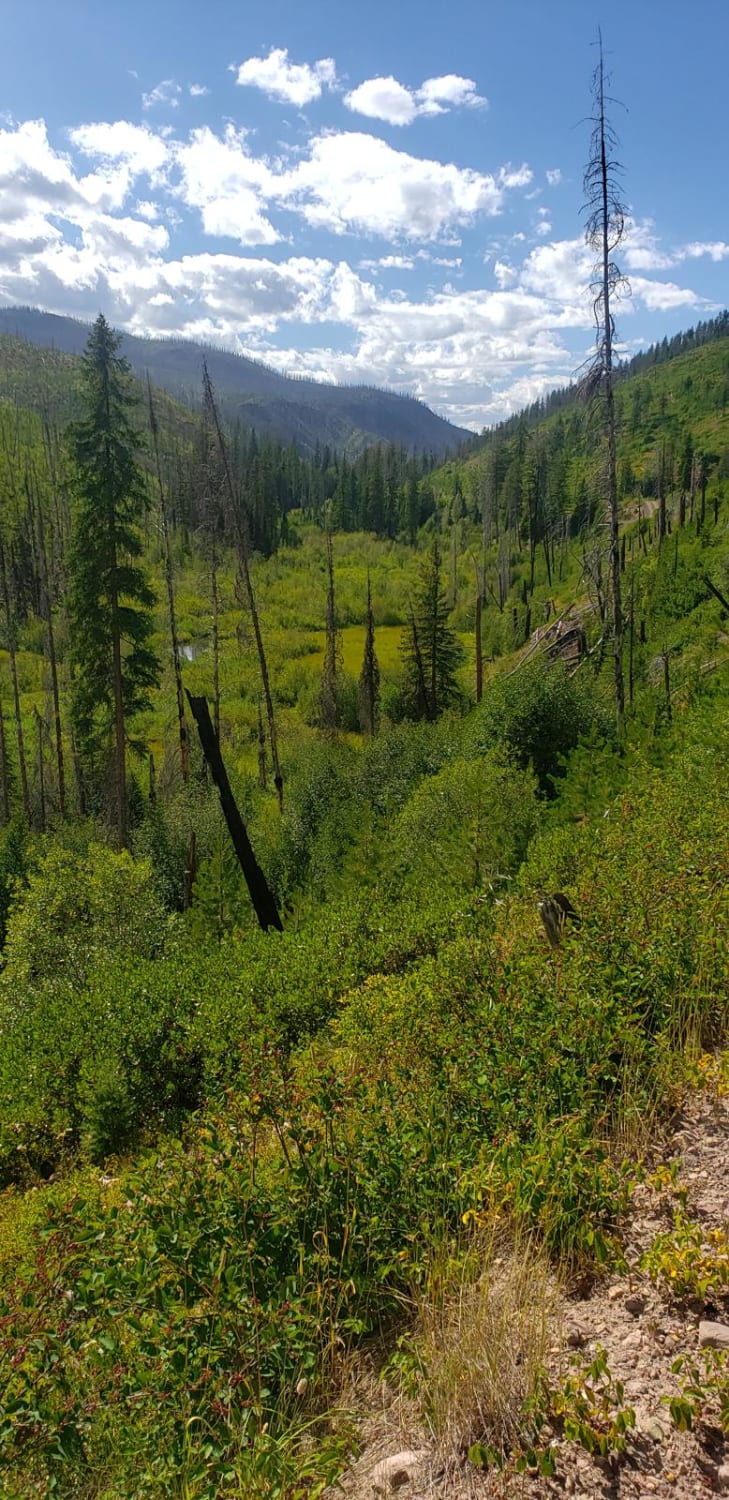
Trail Overview
Emerine Trail (FS 200) has an easy grade, but a rough road surface and climbs from Montana Route 38/ Skalkaho Highway to the location of an old lookout tower, which has been removed. There is weather and communication equipment at the summit, and therefore the route has been gated at the 8.5-mile mark, just before some really tight switchbacks that ascend the last mile to the top. The road is not maintained in the winter, and snowpack will hamper access. The road frequently has deadfall across it, so come prepared. There are deer, elk, and bear in the area, but no bathrooms or facilities of any kind. Leave historical items where you found them and pack out any garbage. Cell service is not likely to be accessible.
Photos of Emerine Trail
Difficulty
The road surface is very rough, and inclement weather may increase difficulty.
Status Reports
Emerine Trail can be accessed by the following ride types:
- High-Clearance 4x4
- SUV
- SxS (60")
- ATV (50")
- Dirt Bike
Emerine Trail Map
Popular Trails

Gilbert No Creek
West Holloman Schwartz
The onX Offroad Difference
onX Offroad combines trail photos, descriptions, difficulty ratings, width restrictions, seasonality, and more in a user-friendly interface. Available on all devices, with offline access and full compatibility with CarPlay and Android Auto. Discover what you’re missing today!