Cottonwood Creek Road - FS1012
Total Miles
8.4
Technical Rating
Best Time
Summer, Fall
Trail Type
Full-Width Road
Accessible By
Trail Overview
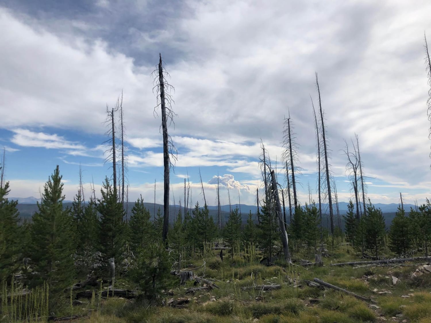
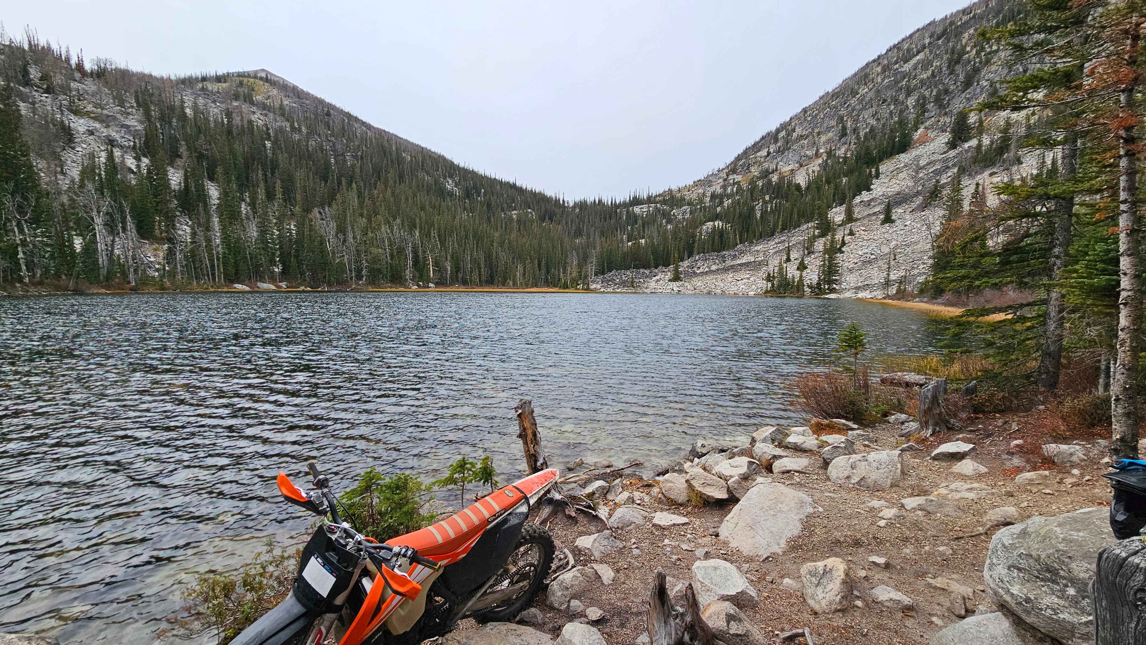
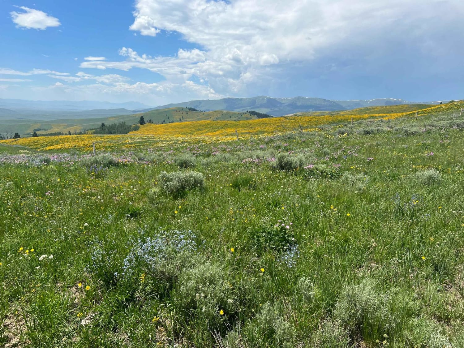
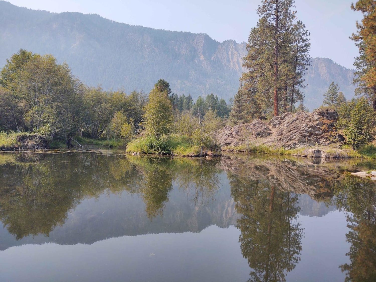
Until recently, this road has been closed because of a washout. It has been fixed, and being able to take this trail again is fantastic. From the top, you have majestic views of the surrounding area and Black Butte. The beauty of the area is difficult to describe, and the Graverlly Range is definitely one of our favorite exploration areas. The trail has a trail toilet on the southern end with a beautiful creek and waterfall nearby. This is a trail to take your time on and enjoy the beauty that surrounds you. The southern end terminates at the Continental Divide Road, a major route between the Island Park, Idaho, and Virginia City, Montana areas for locals.
Photos of Cottonwood Creek Road - FS1012


Difficulty
The road is well-maintained and easily traversed by most vehicles that frequent the area. The washed-out areas have been repaired, and hopefully, they will survive the next significantly large snowfall event. This is not an area to be in when significant rain or snow is predicted.
Status Reports
Cottonwood Creek Road - FS1012 can be accessed by the following ride types:
- High-Clearance 4x4
- SUV
- SxS (60")
- ATV (50")
- Dirt Bike
Cottonwood Creek Road - FS1012 Map
Popular Trails
Mink Creek to Highway 43
Eureka Basin Road (FS 347)
The onX Offroad Difference
onX Offroad combines trail photos, descriptions, difficulty ratings, width restrictions, seasonality, and more in a user-friendly interface. Available on all devices, with offline access and full compatibility with CarPlay and Android Auto. Discover what you’re missing today!