Center Ridge/North Fork Highwood Creek
Total Miles
10.1
Technical Rating
Best Time
Spring, Summer, Fall
Trail Type
Single Track
Accessible By
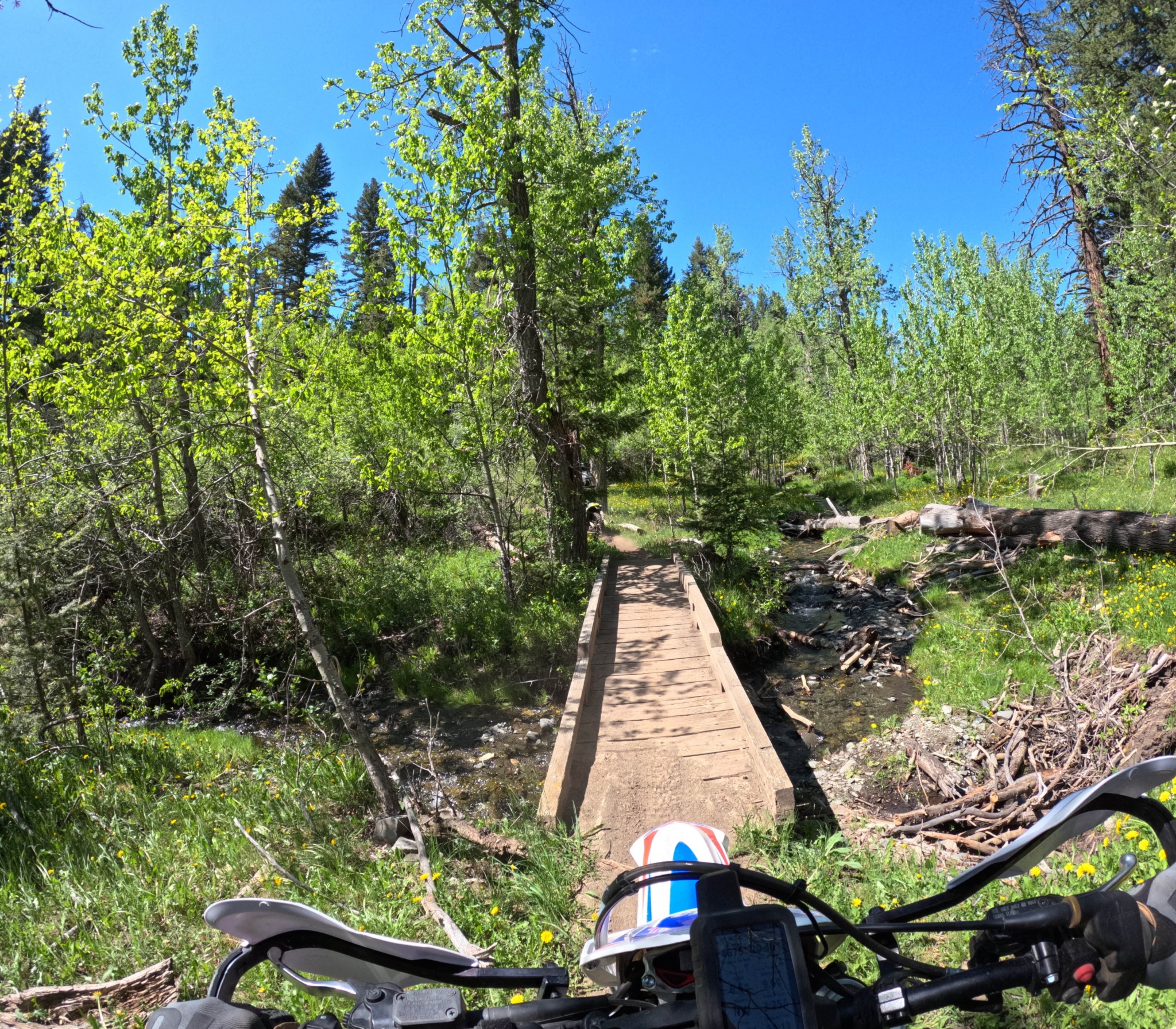
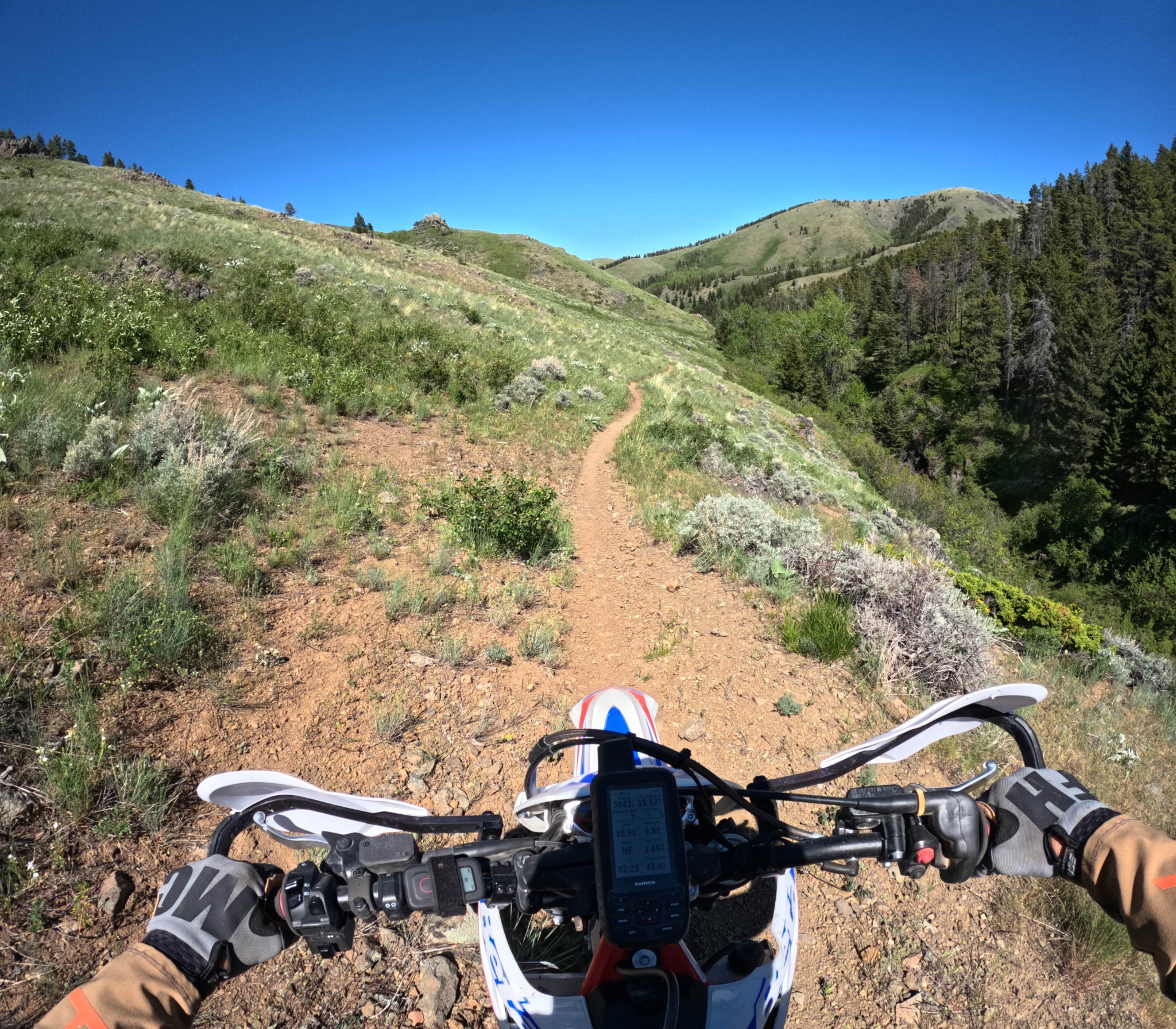
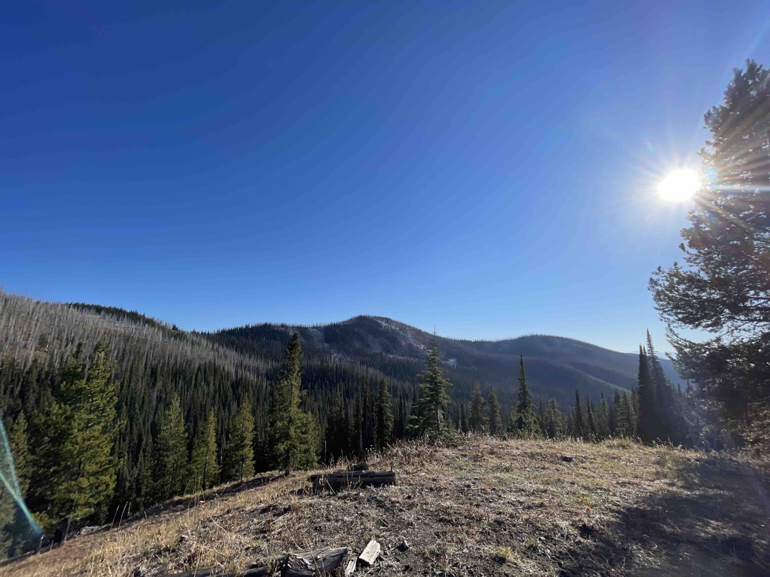
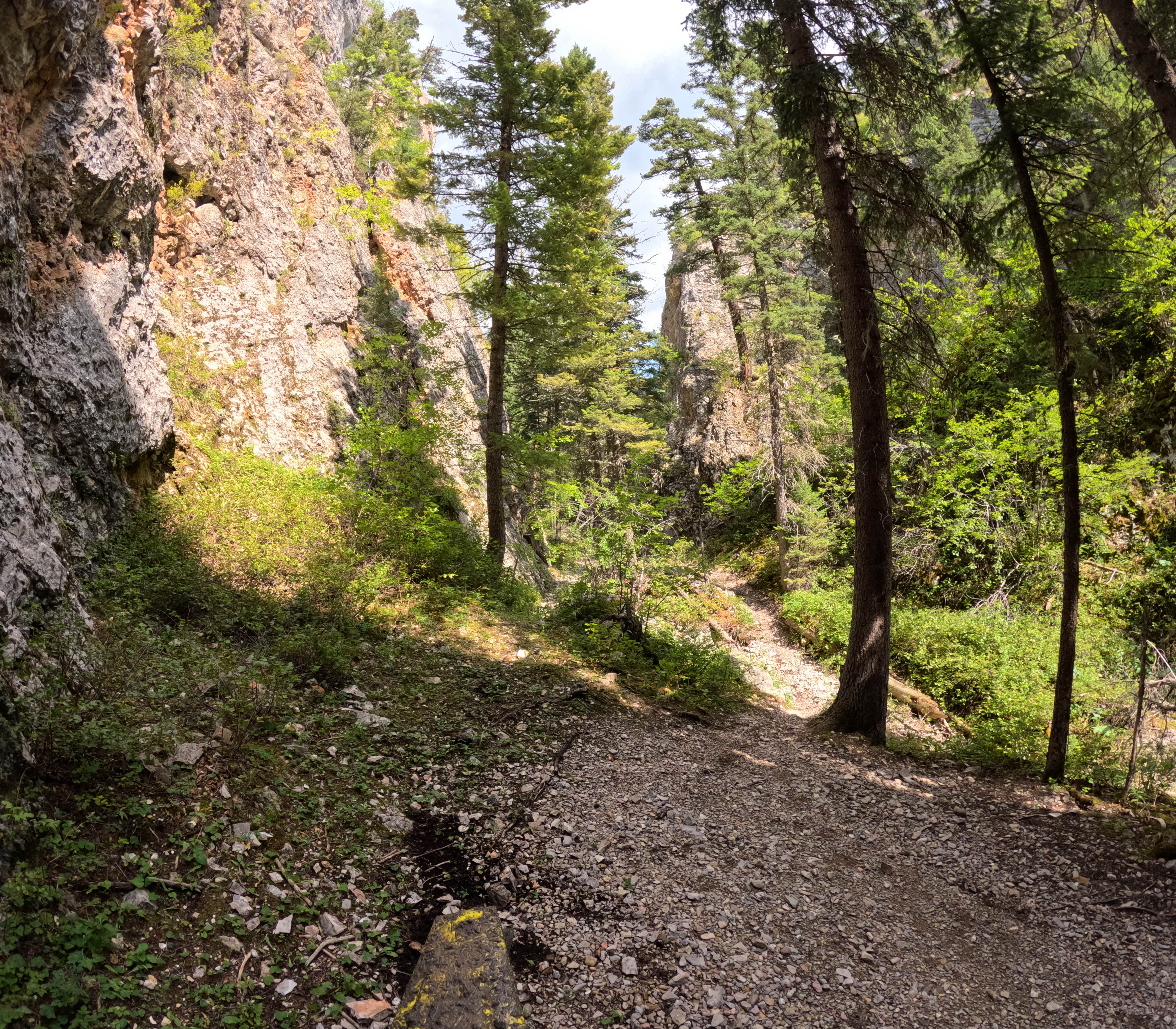
Trail Overview
This is an out-and-back ride, but you can connect several trails together to make loops. Rated a 5 on a 10 scale. A few creek crossings that are pretty easy to navigate. Mostly dirt single track with a few rocky sections. Some sections are narrow single track. Fun little ride close to Great Falls.
Photos of Center Ridge/North Fork Highwood Creek
Difficulty
Creek crossings can be a little deep depending on snow melt. Loose rock sections are present with a narrow single track.
Status Reports
Center Ridge/North Fork Highwood Creek can be accessed by the following ride types:
- Dirt Bike
Center Ridge/North Fork Highwood Creek Map
Popular Trails

Cottonwood Creek Road - FS1012
Head Of St. Clair

Iron Mountain - FSR 344
The onX Offroad Difference
onX Offroad combines trail photos, descriptions, difficulty ratings, width restrictions, seasonality, and more in a user-friendly interface. Available on all devices, with offline access and full compatibility with CarPlay and Android Auto. Discover what you’re missing today!