Bridger Creek Cruise
Total Miles
5.8
Technical Rating
Best Time
Summer, Spring, Fall
Trail Type
Full-Width Road
Accessible By
Trail Overview
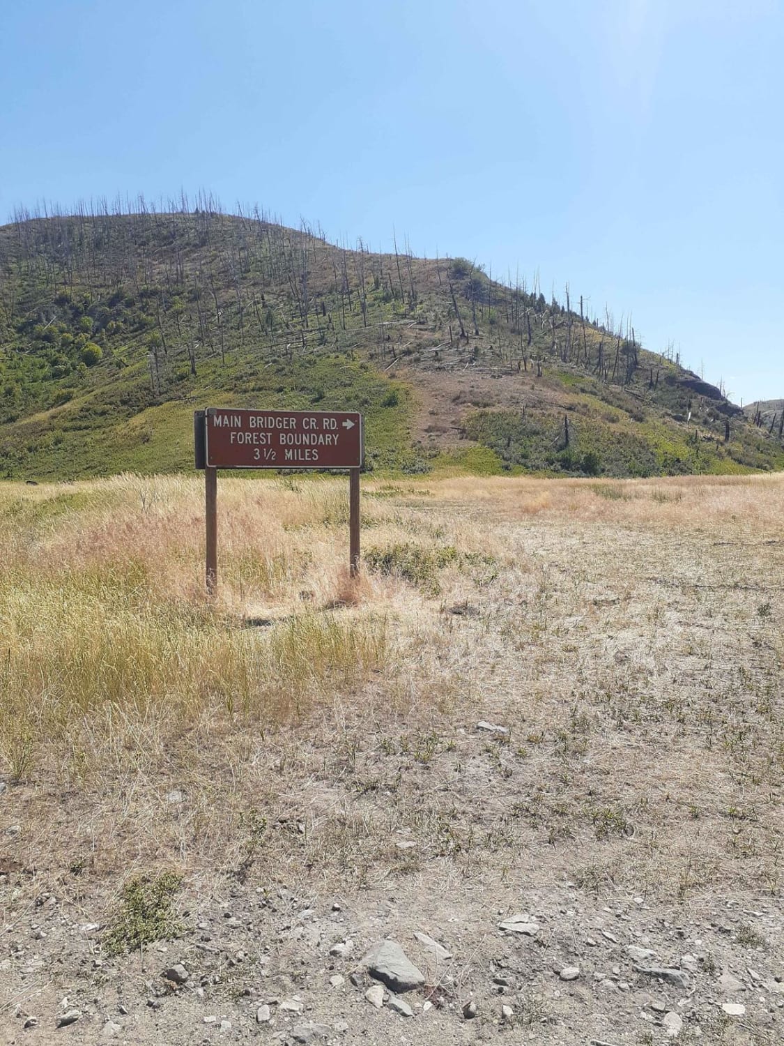
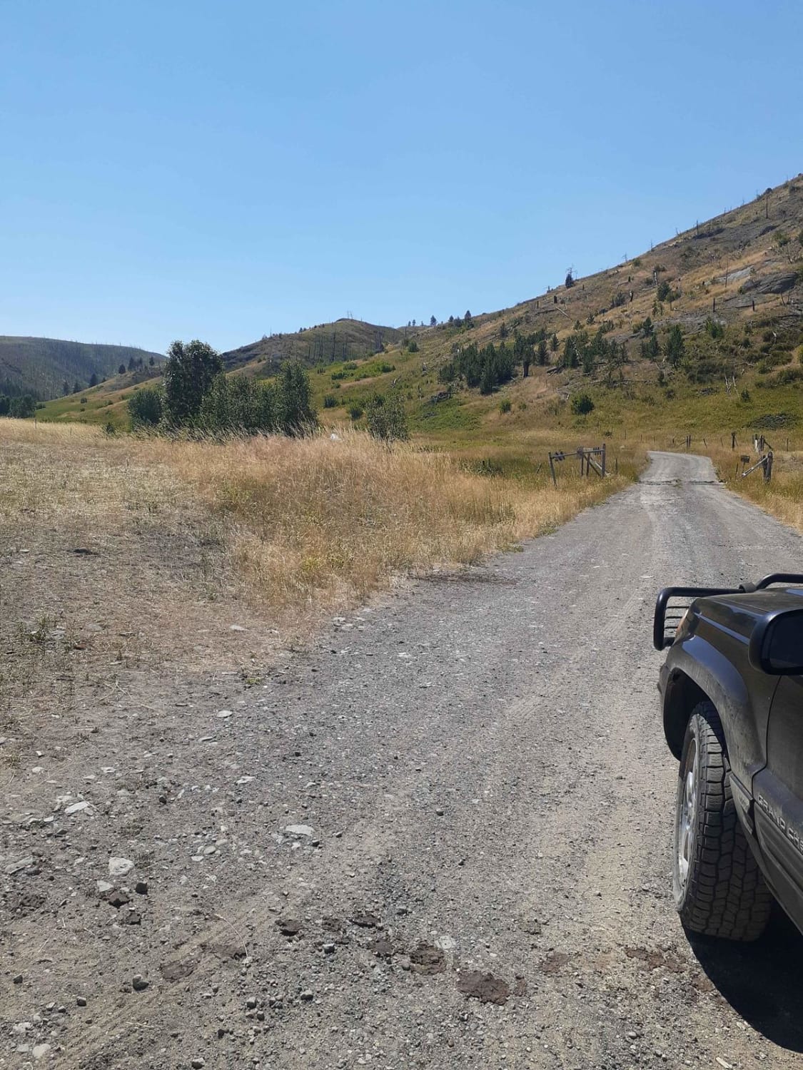
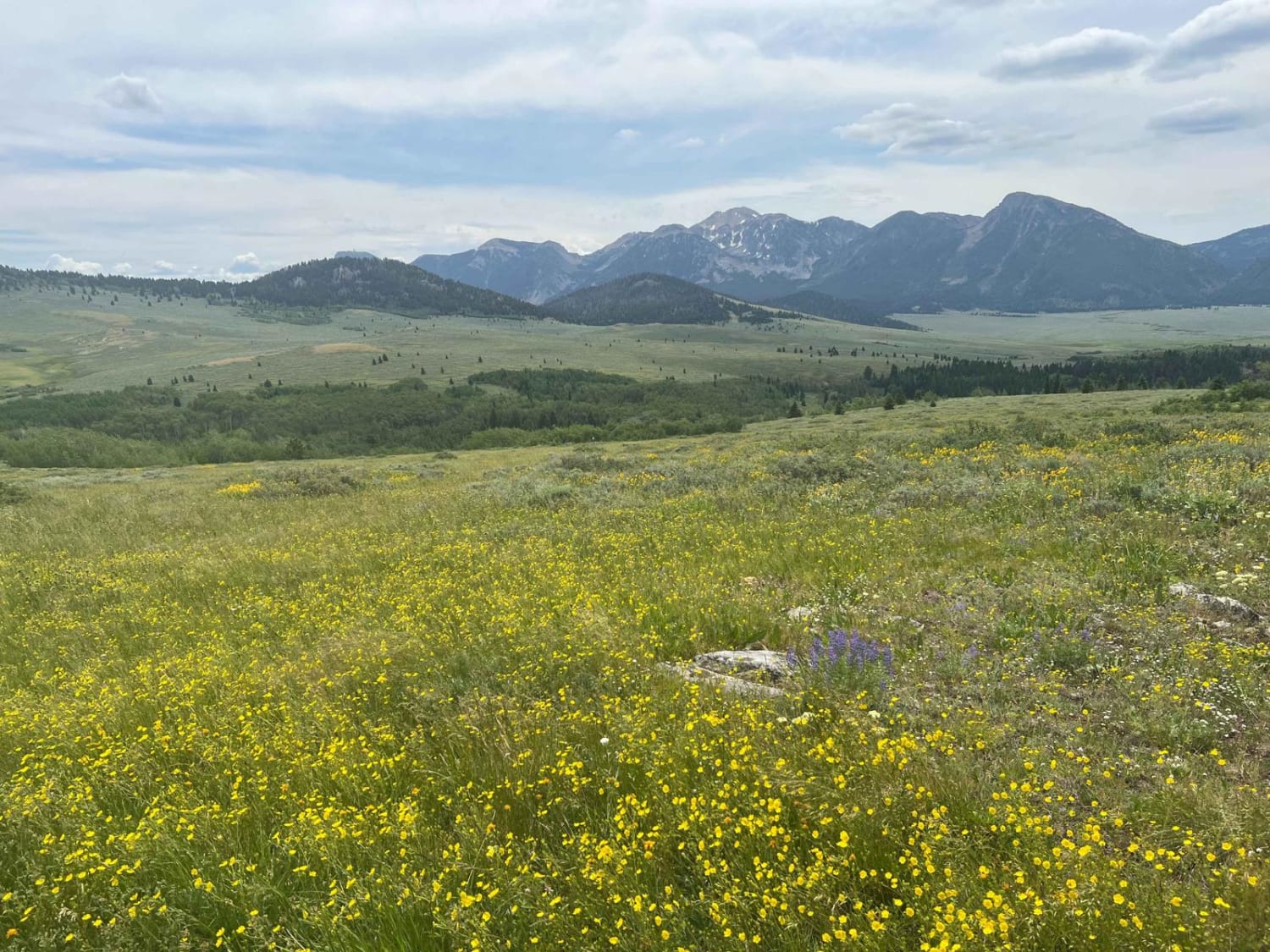
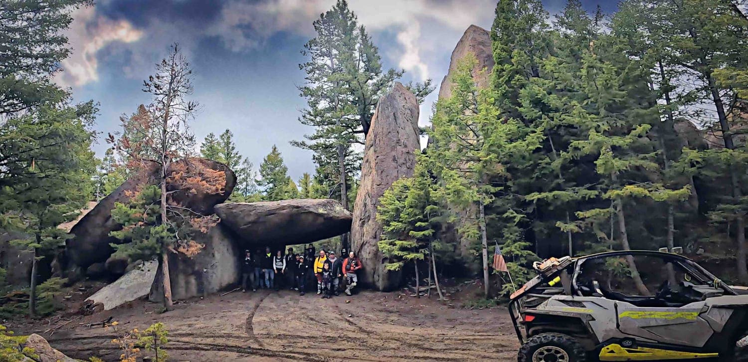
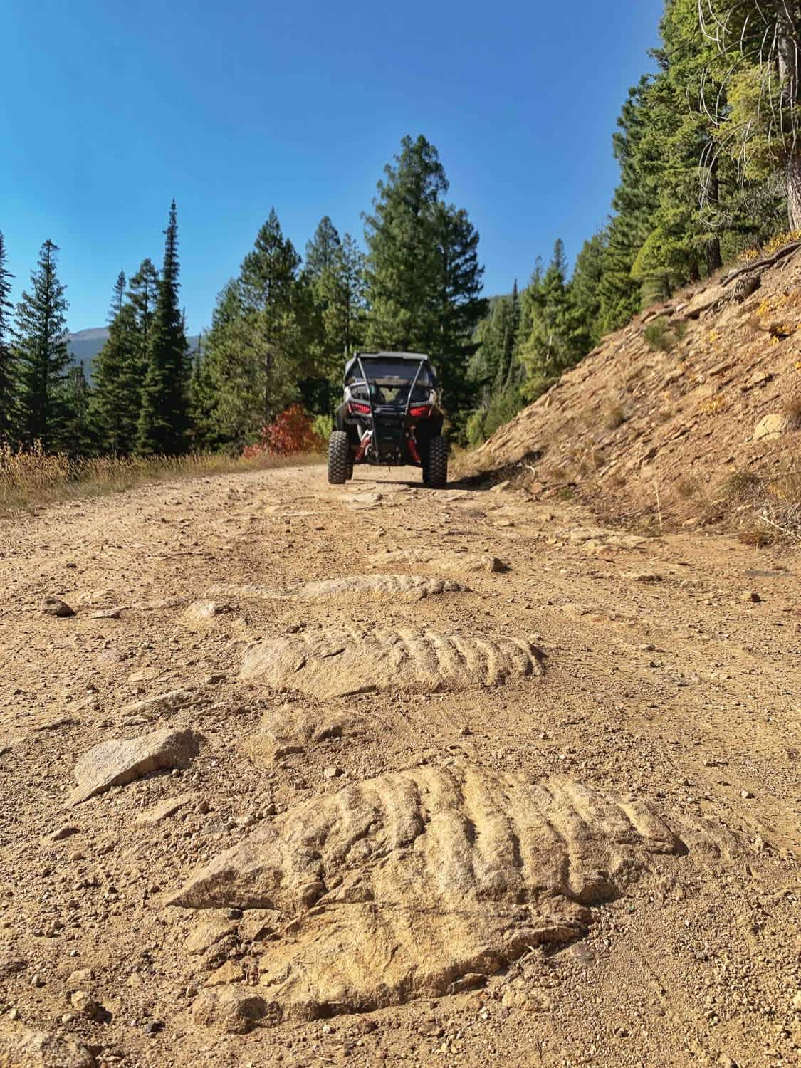
Enjoy this easy cruise, along Bridger Creek, off of Bridger Creek Road, named Main Bridger Creek Road. This route leads into the Gallatin National Forest; via sections of private and BLM land, the road starts out wide and clear gravel with room for passing vehicles as the route gets into the National Forest, it turns into rough rock and dirt with single vehicle tracks. Within the National Forest land, one can expect various creek crossings varying from 2 to 7 feet wide and depths from 1 foot to completely dry, depending on the time of year and weather. The route contains spots with narrow tracks and steep drops, along with tall, dry grass during summer, so be cautious of washouts and fire hazards.
Photos of Bridger Creek Cruise
Difficulty
Pay attention to seasonal weather conditions, runoff rates in spring and fire hazards in summer.
Status Reports
Bridger Creek Cruise can be accessed by the following ride types:
- High-Clearance 4x4
- SUV
- SxS (60")
- ATV (50")
- Dirt Bike
Bridger Creek Cruise Map
Popular Trails

Lone Tree Pass-Deer Mountain Road
GSVA Route
St. Mary's Peak Trail
The onX Offroad Difference
onX Offroad combines trail photos, descriptions, difficulty ratings, width restrictions, seasonality, and more in a user-friendly interface. Available on all devices, with offline access and full compatibility with CarPlay and Android Auto. Discover what you’re missing today!