Bighorn Canyon Overlook
Total Miles
5.4
Technical Rating
Best Time
Summer, Fall
Trail Type
Full-Width Road
Accessible By
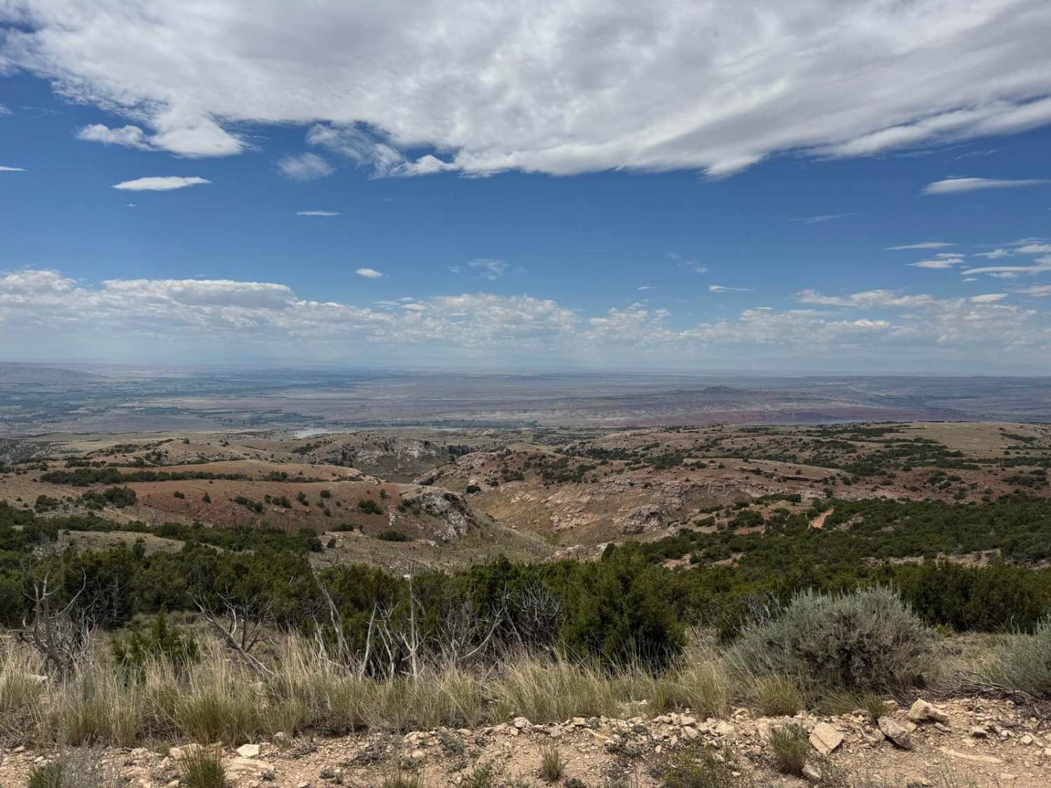
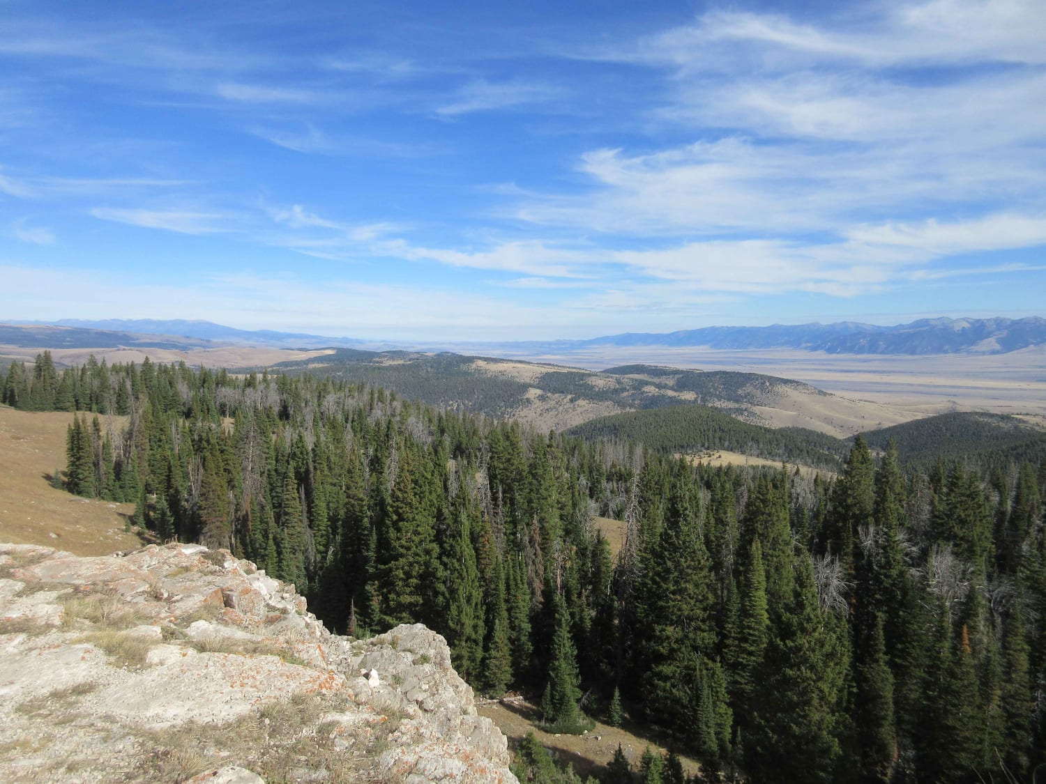
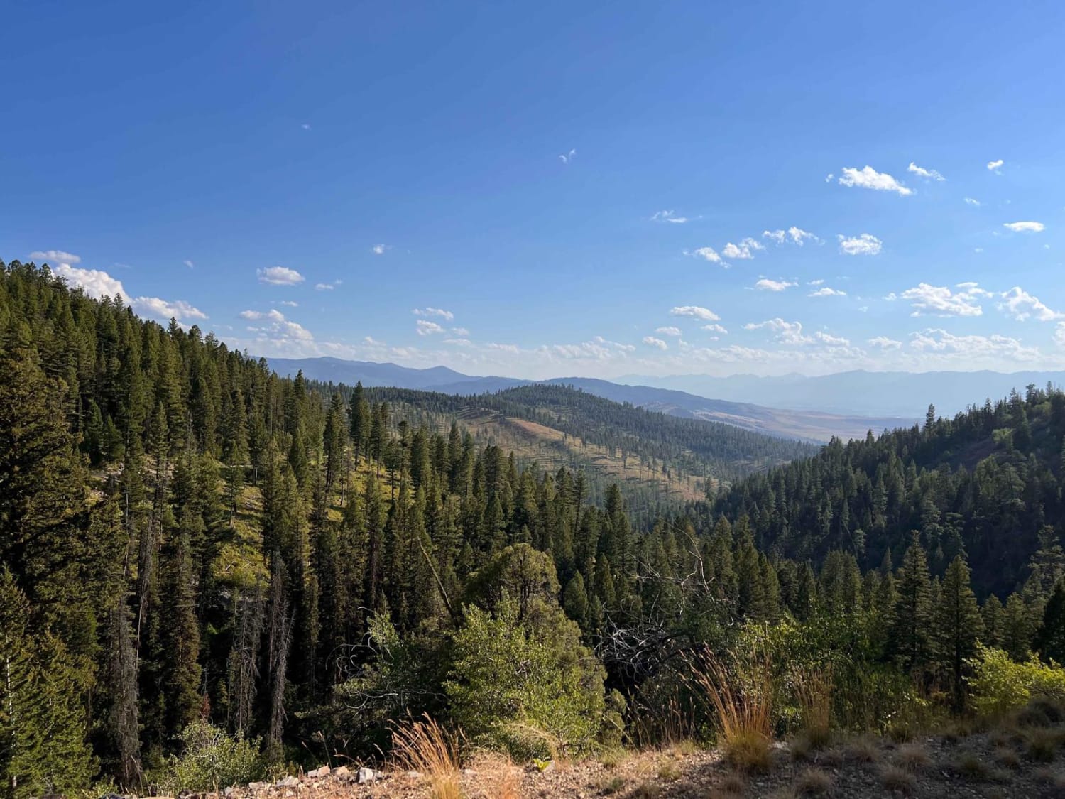
Trail Overview
This is a 5.6-mile trail leading off from Armpit, Wyoming, and the caves at the top of the Bighorn Range to incredible and remote overlooks of the Bighorn and Devils canyons. The trial traverses a section of high country with expansive views west into Bighorn Basin, and occasionally east into the greater Bighorn Range.
Photos of Bighorn Canyon Overlook

Difficulty
Mostly easy trail with a few mud holes and some rocks and ledges.
History
This is part of a trail system built to access numerous uranium mines in the area.
Status Reports
Bighorn Canyon Overlook can be accessed by the following ride types:
- High-Clearance 4x4
- SUV
- SxS (60")
- ATV (50")
- Dirt Bike
Bighorn Canyon Overlook Map
Popular Trails

Blue Mountain Lookout Spur (6.07)
Johnny Ridge Road - FS324

Columbia Mountain Loop
The onX Offroad Difference
onX Offroad combines trail photos, descriptions, difficulty ratings, width restrictions, seasonality, and more in a user-friendly interface. Available on all devices, with offline access and full compatibility with CarPlay and Android Auto. Discover what you’re missing today!