Andrews Creek
Total Miles
8.0
Technical Rating
Best Time
Summer, Fall
Trail Type
Full-Width Road
Accessible By
Trail Overview
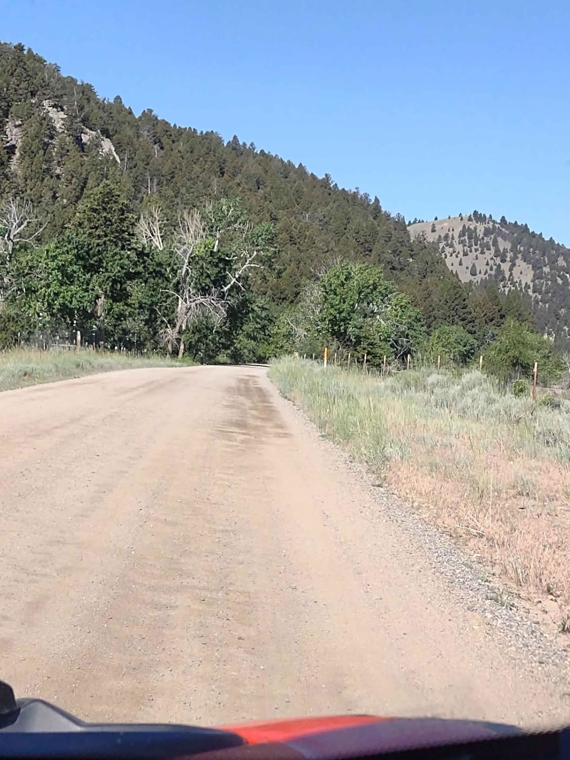
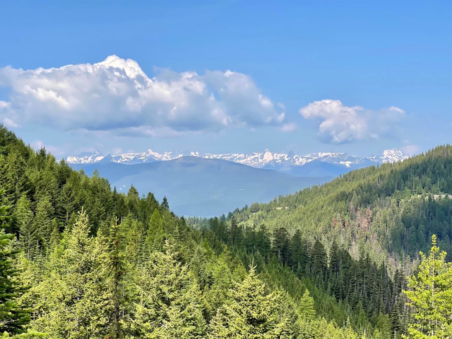
Andrews Creek Trail starts from Highway 93 just a couple of miles south of Sula, MT. An easy way to find the beginning of this trail is to look for the Sula Forest Service Ranger District building on the east side of Highway 93. This trail is directly across Highway 93 on the west side. This trail is an excellent trail for someone who is looking for some awesome views. Although this trail is a mild climb, it is very consistent, and it does gain elevation fairly quickly. This is why there are some great views of the east fork valley and surrounding mountains, of the Bitterroot Valley near Sula, MT, and the mountains south of Lost Trail Ski Area. The first few miles of this trail from the highway are a smooth gravel trail with some scattered potholes, some of which can be abrupt. Although tempting, you don't want to get cruising too fast here. In the first few miles, the trail is two full-size vehicles wide and has plenty of pullouts. After you near the three-mile mark, this trail narrows down gradually and eventually to a one full-size vehicle-width double-track trail. At this time, the trail becomes more rocky as well, but nothing taller than 5 inches. There are also some very shallow ruts, no deeper than 6 inches, and some short sections of washboards along the way, but nothing that most vehicles should have an issue with. This trail does have some switchbacks that are not overly tight, and much of this trail has a steep drop off the edge of the trail. This trail comes to an end at a double trailhead. One trail is the Andrews Creek dirt bike trail, and the other is the Andrews Creek 50-inch trail, which is the natural continuation of this trail. At this trailhead is a nice-sized area to turn around or park and unload a four-wheeler or dirt bike.
Photos of Andrews Creek


Difficulty
This trail is an easy trail. There are no real obstacles. There are some potholes, washboards, light ruts, small rocks, steep drops off the edge, and the trail narrows to one full-size vehicle width towards the end. This trail should not be attempted in the winter and early spring, as deep snow is likely. Otherwise, most vehicles shouldn't have an issue going up this trail.
Status Reports
Andrews Creek can be accessed by the following ride types:
- High-Clearance 4x4
- SUV
- SxS (60")
- ATV (50")
- Dirt Bike
Andrews Creek Map
Popular Trails

Cattle Drive to Bear Gulch

Little Joe Road
Rice Ridge Road
The onX Offroad Difference
onX Offroad combines trail photos, descriptions, difficulty ratings, width restrictions, seasonality, and more in a user-friendly interface. Available on all devices, with offline access and full compatibility with CarPlay and Android Auto. Discover what you’re missing today!