Bradley Ridge - FS 3521
Total Miles
1.8
Technical Rating
Best Time
Spring, Summer, Fall, Winter
Trail Type
Full-Width Road
Accessible By
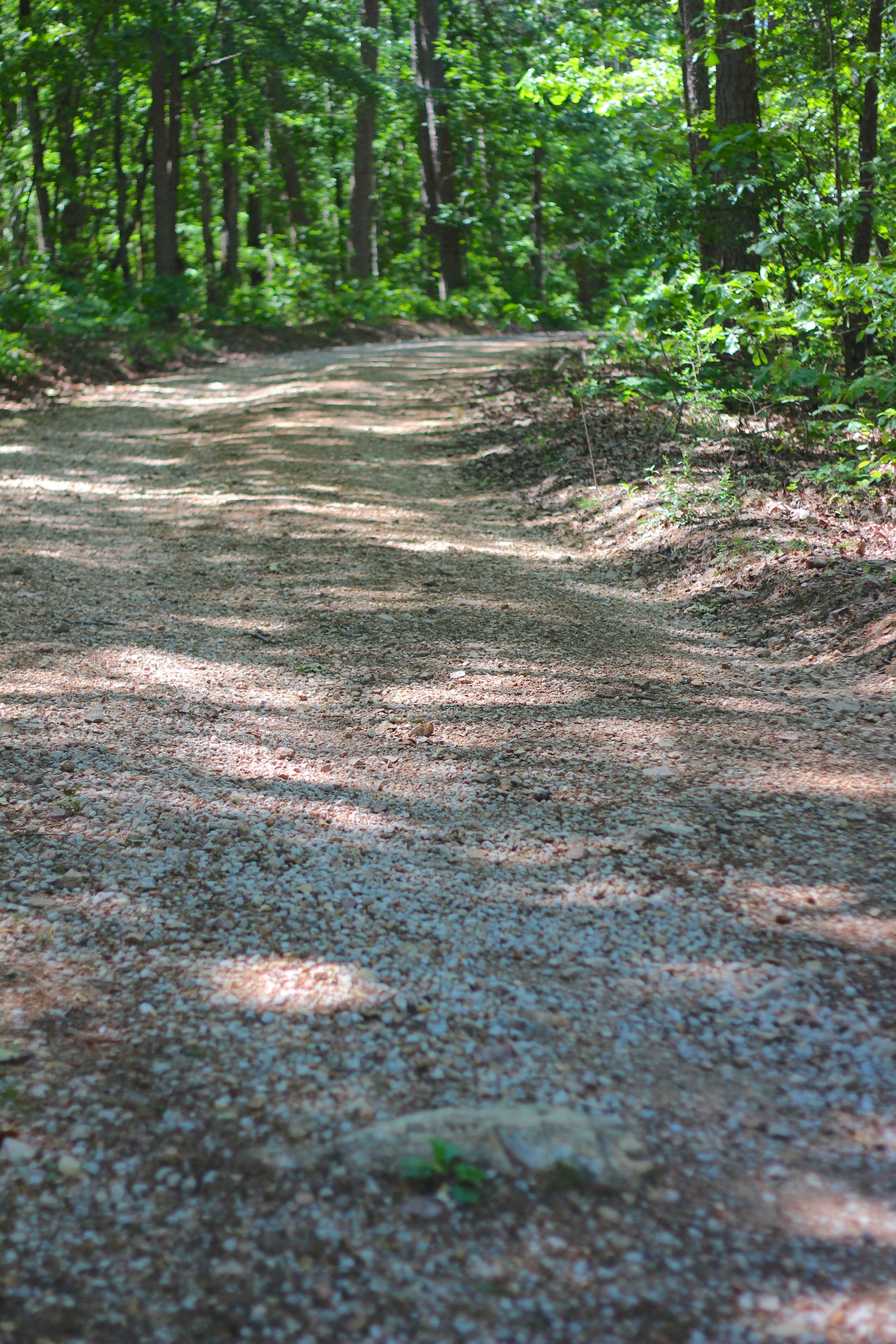
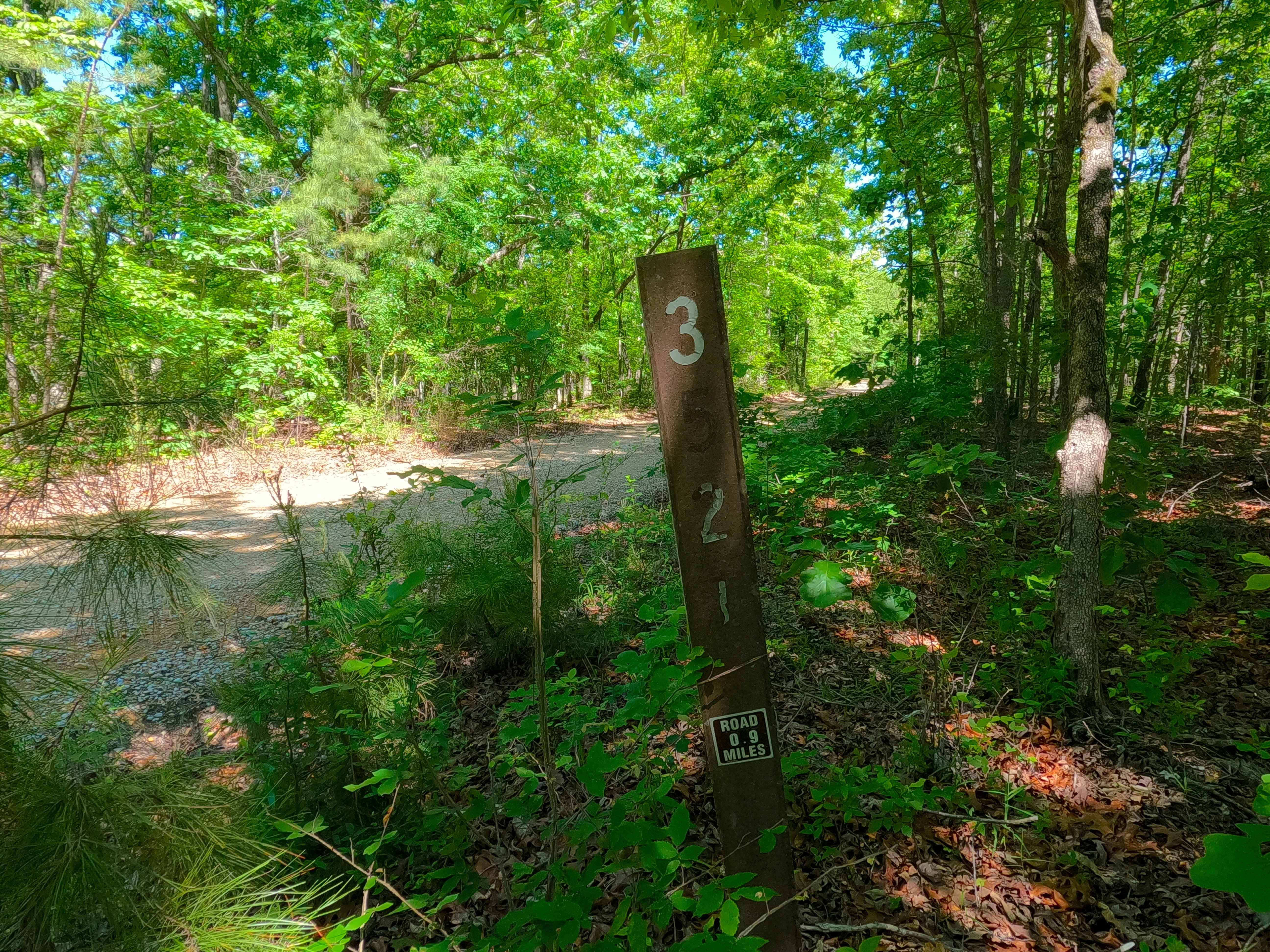
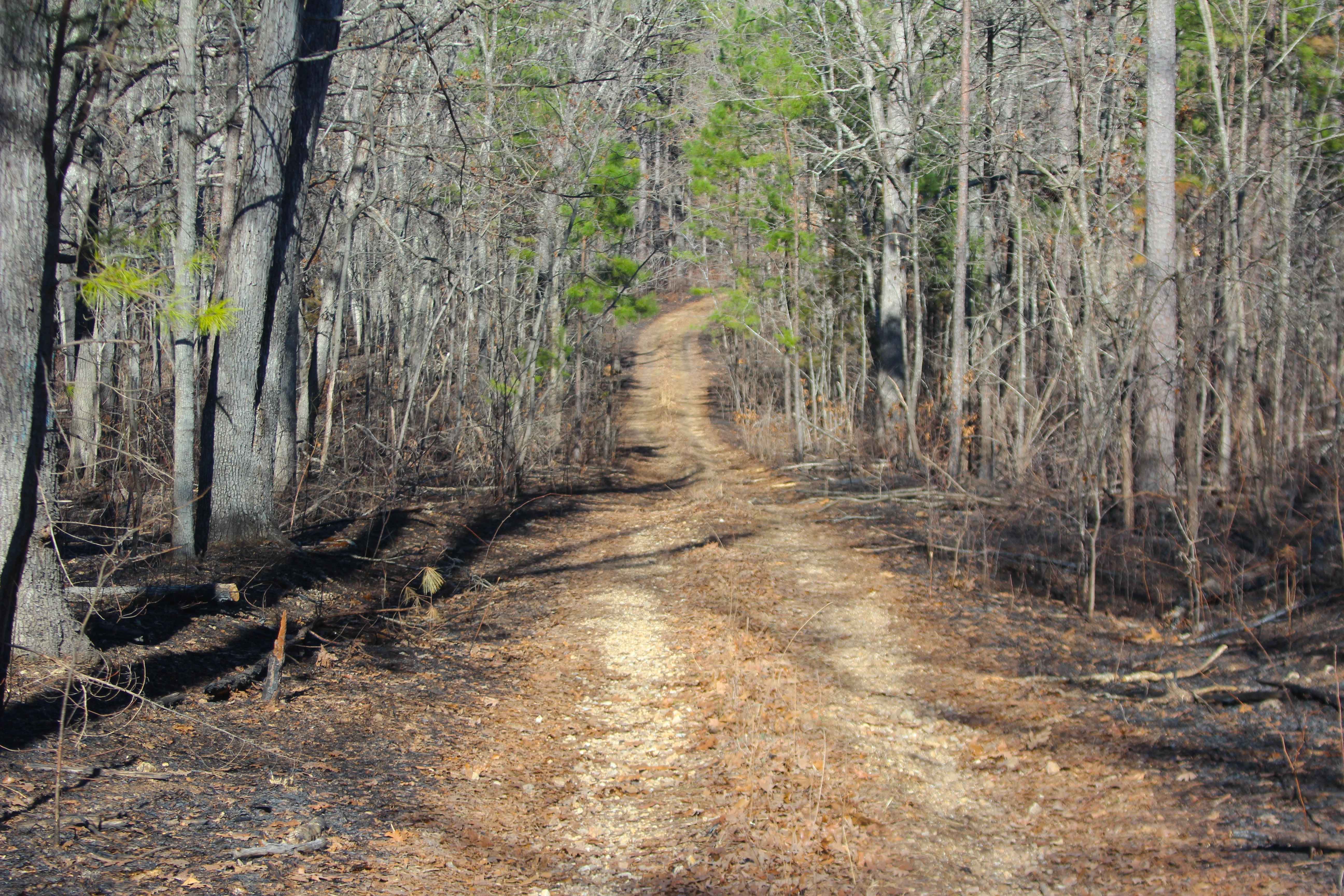
Trail Overview
Bradley Ridge (FS 3521) is a gravel and dirt forest service road within the Poplar Bluff Unit of Mark Twain National Forest. Starting from the Bear Creek FS 3715, the Bradley Ridge forks to the left and would appear as the road that continued from where it began at US-60, but is actually a new road, despite the surface continuing as a well-maintained road, going downhill into the lower ridge spines, passing a cutout opening on the left. The road continues having small elevation changes, occasional natural rocks poking out at the surface, and minimal complications before meeting an admin/private property gate with a 3-point turnaround placed just before it. This is the MVUM Sanctioned endpoint of the road. Users must turn around here and head back out the way they came.
Photos of Bradley Ridge - FS 3521
Difficulty
Bradley Ridge is given a 1/10 for having only mild graded elevation changes, mild erosion, gravel washes, and natural rock poking out of the surface along the track. It is safe to expect the basic gravel road complications, such as potholes, washboarding, and mounding of the gravel. Difficulty can increase in times of wet conditions, heavy use, and through a lack of maintenance.
Status Reports
Bradley Ridge - FS 3521 can be accessed by the following ride types:
- High-Clearance 4x4
- SUV
- SxS (60")
- ATV (50")
- Dirt Bike
Bradley Ridge - FS 3521 Map
Popular Trails
Hidden Pond Spur A - FS 2607A

Waymeyer Landing - NPS 215

Bounty Hill Access
Tennyson Hollow West - FS 507
The onX Offroad Difference
onX Offroad combines trail photos, descriptions, difficulty ratings, width restrictions, seasonality, and more in a user-friendly interface. Available on all devices, with offline access and full compatibility with CarPlay and Android Auto. Discover what you’re missing today!