Wobble Grade Road
Total Miles
3.3
Technical Rating
Best Time
Spring, Summer, Fall, Winter
Trail Type
Full-Width Road
Accessible By
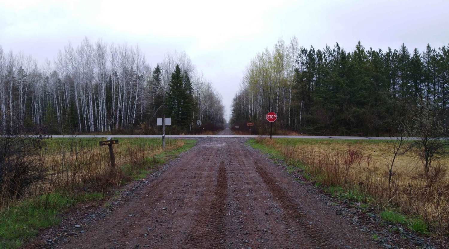
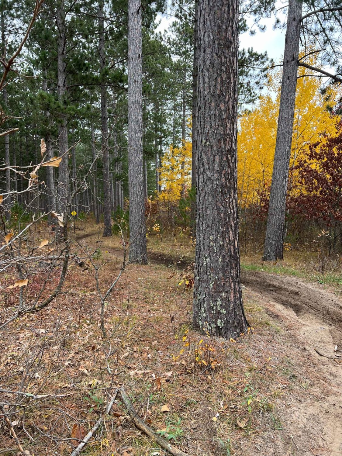
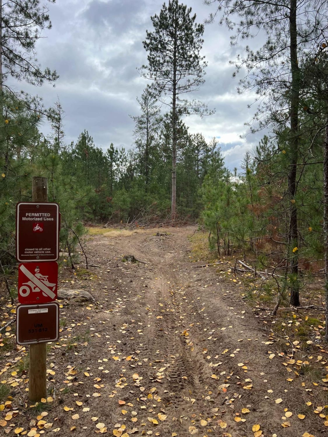
Trail Overview
This trail begins as a narrow, single-vehicle route with a surface of gravel and sand. It winds through forested terrain, remaining generally flat and level for much of its length. Partway along, it crosses Forest Road 180, where caution is needed due to fast-moving local traffic. The route eventually leads to a large clearing, which marks the end of the trail. This open area may be suitable for dispersed camping and also serves as a junction to a few overgrown side trails. Wildlife, including bears, may be present in the area, and berries can be found along the route in season. The trail surface is uneven in places, with large bumps, potholes, and undulating sections that require careful navigation. While the clearing at the end offers some space, the trail itself has no formal campsites and lacks amenities such as trash disposal and a water supply. Cell service may be limited.
Photos of Wobble Grade Road


Difficulty
The trail is maintained but can develop light overgrowth between trims, especially in the summer months. Commonly used by local OHV traffic, the path remains visible and passable, though branches and low brush may occasionally encroach.
Status Reports
Wobble Grade Road can be accessed by the following ride types:
- High-Clearance 4x4
- SUV
- SxS (60")
- ATV (50")
- Dirt Bike
Wobble Grade Road Map
Popular Trails
County Road 3 to Wisconsin Border

NE Huntersville Winding Woods
Circle Farm Trail
The onX Offroad Difference
onX Offroad combines trail photos, descriptions, difficulty ratings, width restrictions, seasonality, and more in a user-friendly interface. Available on all devices, with offline access and full compatibility with CarPlay and Android Auto. Discover what you’re missing today!