Wilbar Creek
Total Miles
1.6
Technical Rating
Best Time
Spring, Summer, Fall, Winter
Trail Type
Full-Width Road
Accessible By
Trail Overview
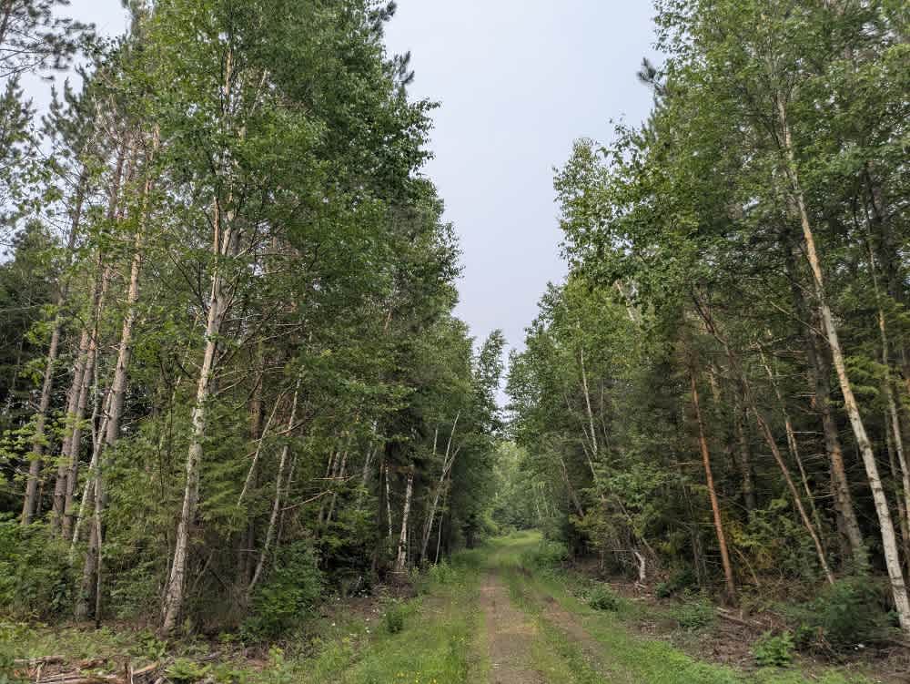
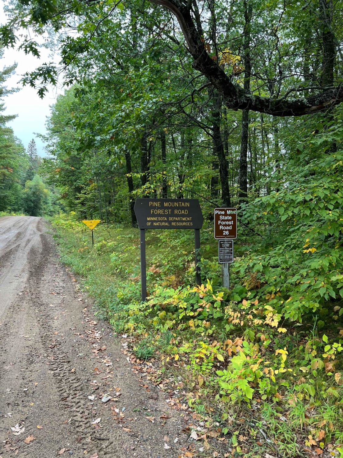
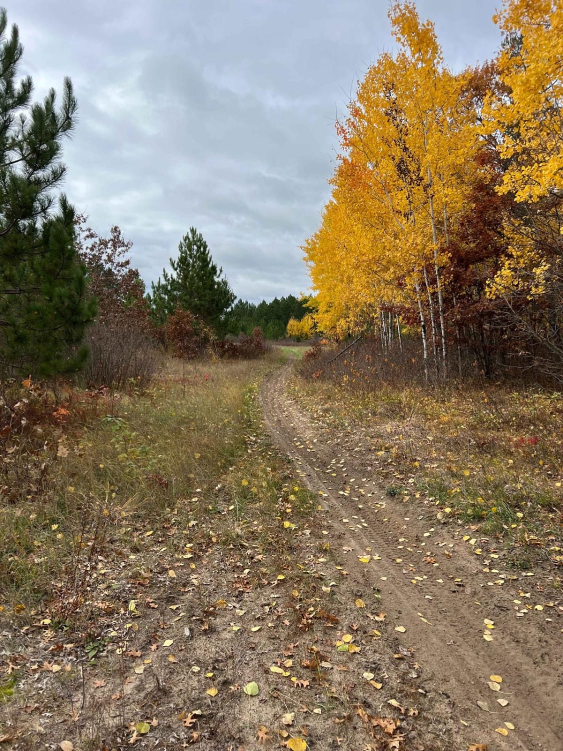
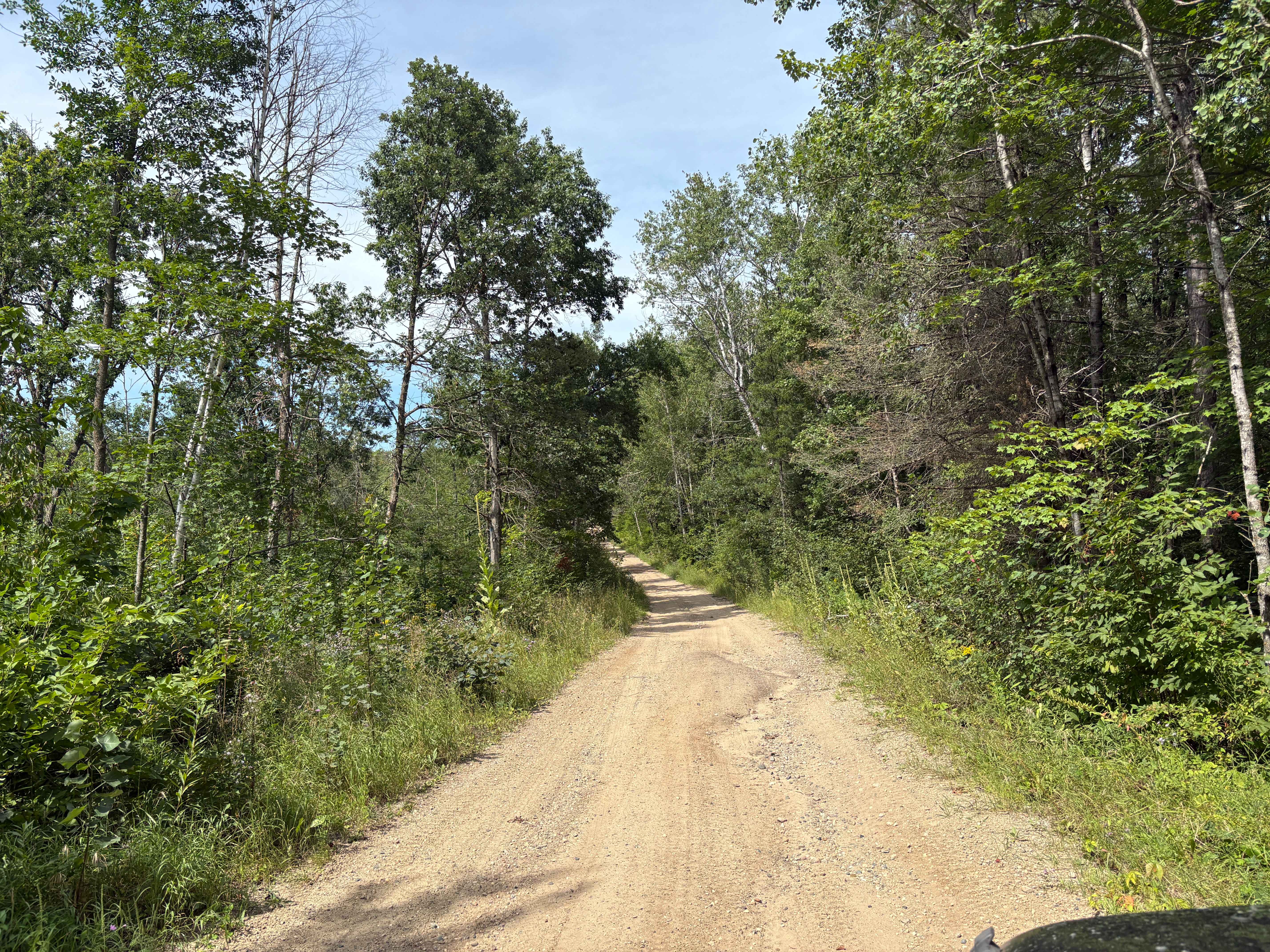
This trail appears to have been used heavily by logging vehicles, and the surrounding forest shows clear signs of recent and extensive disturbance. As you travel deeper along the route, the landscape becomes increasingly affected, with large areas cleared or damaged by logging activity. The trail itself is overgrown in places and features a surface that is muddy, uneven, and marked by rocks and deep potholes. After periods of rain, conditions are likely to become significantly more challenging, especially in lower-lying sections that retain water. Fallen trees may block the way, and during one trip, several had to be cut to allow continued travel. Toward the end of the trail, a bog crosses the route near a drainage pipe. The area around the pipe is badly washed out, making the trail impassable for all but the most capable high-clearance 4WD vehicles. Numerous muddy holes lie beside the trail, and drivers should also be cautious of local traffic, particularly from ongoing logging operations. Dispersed camping is generally permitted in the Superior National Forest as long as it is outside the Boundary Waters Canoe Area Wilderness. There are no developed amenities along this route--no toilets, water sources, or trash disposal--and cell reception may be limited or absent. Campers are encouraged to follow Leave No Trace principles.
Photos of Wilbar Creek

Difficulty
This forested route is lightly maintained and typically sees use during peak seasons. Expect occasional fallen limbs, narrowing sections from plant growth, and minor obstacles.
History
The Boundary Waters Canoe Area Wilderness (BWCAW) in northern Minnesota is one of the most pristine wilderness areas in the United States, covering over 1 million acres of interconnected lakes, rivers, and forests. Established as protected federal land in 1978, it preserves the cultural history of Ojibwe people, fur traders, and early explorers while limiting motorized access to maintain its wild character. Today, it's world-renowned for canoeing, fishing, camping, and wildlife watching, offering an authentic backcountry experience where travelers can explore hundreds of miles of water routes and portage trails.
Status Reports
Wilbar Creek can be accessed by the following ride types:
- High-Clearance 4x4
- SUV
- SxS (60")
- ATV (50")
- Dirt Bike
Wilbar Creek Map
Popular Trails
Spider Lake North State Forestry Rd
Huntersville East Wooded Free for All Trail
South Tulaby Trail

M & P Connector
The onX Offroad Difference
onX Offroad combines trail photos, descriptions, difficulty ratings, width restrictions, seasonality, and more in a user-friendly interface. Available on all devices, with offline access and full compatibility with CarPlay and Android Auto. Discover what you’re missing today!