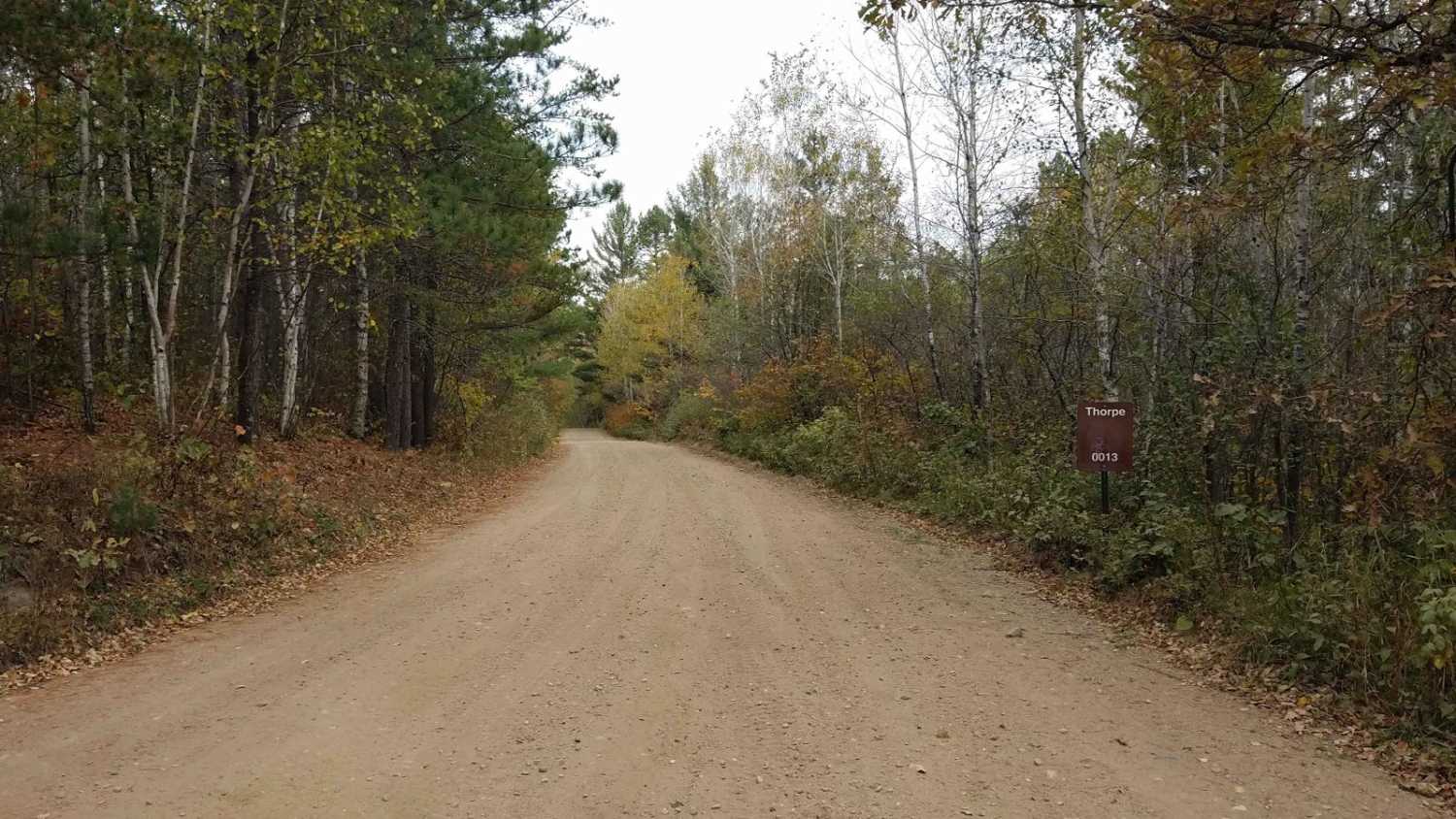
Thorpe Tower Road 5.4
Total Miles
3.9
Technical Rating
Best Time
Spring, Summer, Fall
Trail Type
Full-Width Road
Accessible By
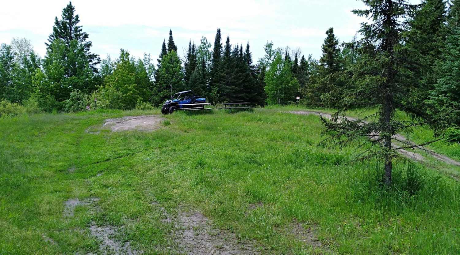
Trail Overview
Thorpe Tower Forest Road 13 runs between Spur I Forest Road 14 and Refuge Road. (Forest Road 17) This also includes the very short section of 12A. Although the name is misleading as the tower is no longer in existence, there is a Class I and Class II ATV trail that does take you to a set of overlooks that is well worth your time. The .75-mile point-to-point ATV trail to the overlook area is off the main forest road and can be bypassed by road vehicles. Note the trail rating changes to a 4 if you adventure in that direction. Thorpe Tower Rd is 5.4 miles long and takes about 31 minutes with an average speed of 10.2 MPH (Does not include time stopped at the overlooks).
Photos of Thorpe Tower Road 5.4

Difficulty
No issues on this section of forest road shared with all types of roadway traffic. Please note, that the ATV Class II and Class II trail to the overlooks change to a 4 rating for rocks, incline, and narrow trail with places to pass once both parties coordinate who can get off the trail. This overlook trail section is only .75 miles one way and can be bypassed or ignored by road vehicles not able to go see the lookouts. The lookouts are only open to ATVs 65" or less, mapped with 60" 2-door SxS and it was tight when meeting class I ATVs.
Status Reports
Thorpe Tower Road 5.4 can be accessed by the following ride types:
- High-Clearance 4x4
- SUV
- SxS (60")
- ATV (50")
Thorpe Tower Road 5.4 Map
Popular Trails

UPM Blandin Trail N

Upper Red Hills East

Forest Service Road 487AB
The onX Offroad Difference
onX Offroad combines trail photos, descriptions, difficulty ratings, width restrictions, seasonality, and more in a user-friendly interface. Available on all devices, with offline access and full compatibility with CarPlay and Android Auto. Discover what you’re missing today!