Crooked Lake Road
Total Miles
1.6
Technical Rating
Best Time
Summer, Fall, Winter, Spring
Trail Type
Full-Width Road
Accessible By
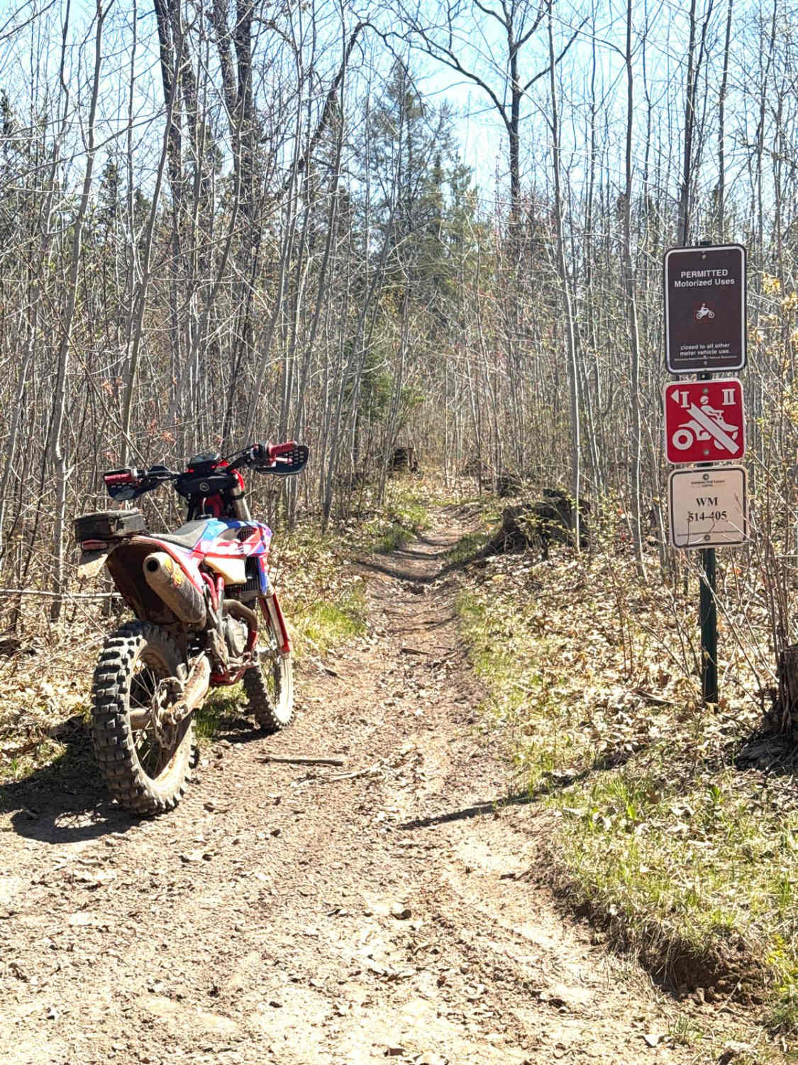
Trail Overview
This trail begins with a stretch of smooth red gravel that is easy to drive, leading to a turnaround area that also serves as a dispersed campsite with a rock fire ring. Beyond this point, the trail becomes noticeably rougher, with rocky and muddy sections, steep climbs and descents, and signs of water damage that have created off-camber stretches. Some of the mud holes (see photos) are deeper than they look, especially after rain. The trail eventually ends at a sandy boat launch beside the lake. Four-wheel drive is strongly recommended, particularly in wet conditions. There are no formal or additional dispersed campsites along the route, and amenities like trash disposal and water are not available. Cell service may be unreliable.
Photos of Crooked Lake Road


Difficulty
This trail is not maintained but may be used by other OHV users. This trail may be overgrown with potholes or ruts when not in regular use.
History
Covering more than 1.6 million acres of glacial lakes, red-pine uplands, and sphagnum bogs, Minnesota's Chippewa National Forest lets motorists experience the North Woods at an unrushed pace. Paved state highways soon yield to a lattice of numbered forest roads, most of them well-graded gravel that thread between kettle ponds and stands of towering white pine, the tree that helped earn the forest its 1908 designation as one of America's first national forests. The forest harbors one of the highest breeding densities of bald eagles in the continental United States, and patient drivers often glimpse loons, black bears, and white-tailed deer as they move from shoreline to clear-cut regrowth and back again.
Status Reports
Crooked Lake Road can be accessed by the following ride types:
- High-Clearance 4x4
- SUV
Crooked Lake Road Map
Popular Trails

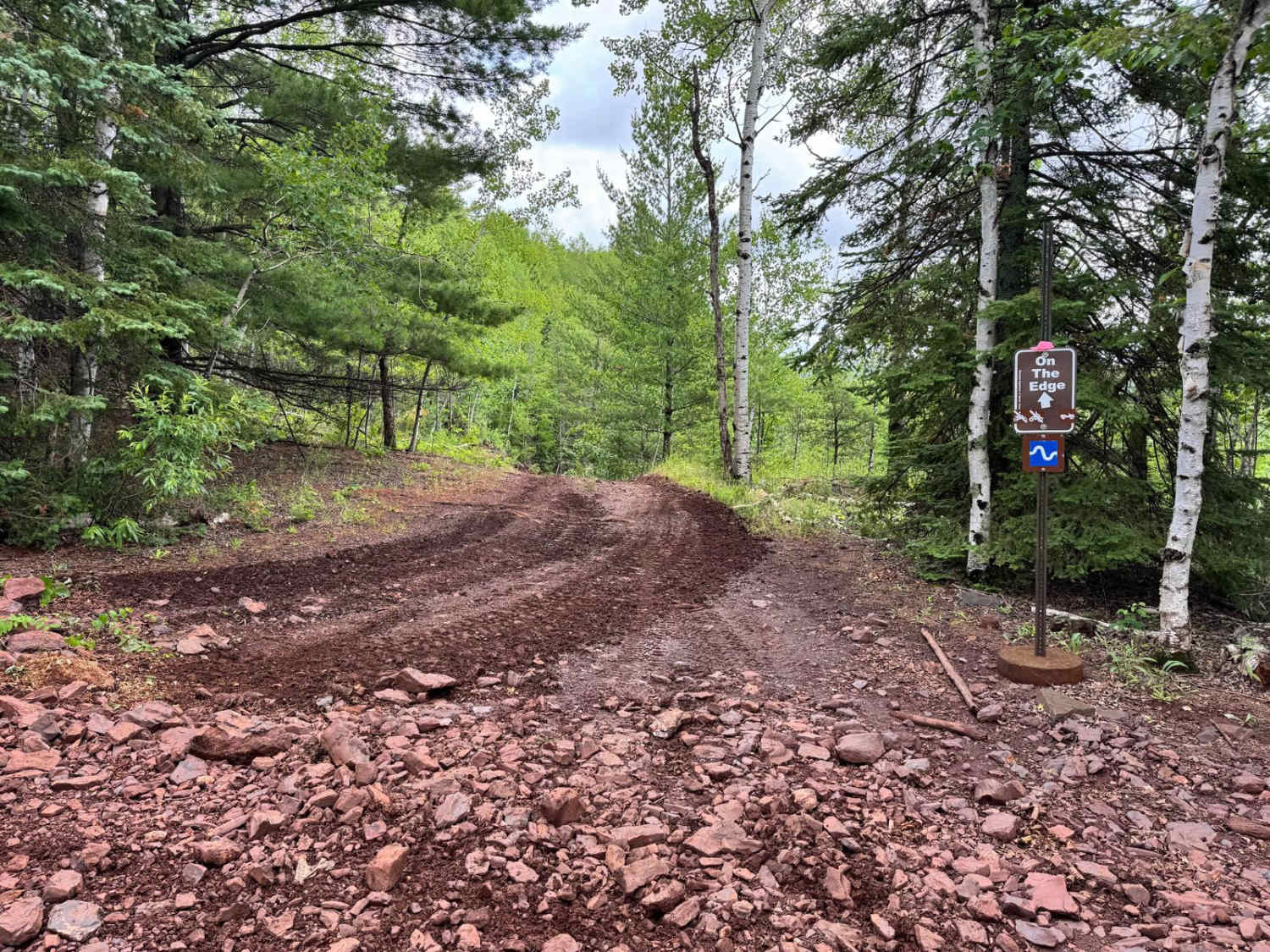
On the Edge

The onX Offroad Difference
onX Offroad combines trail photos, descriptions, difficulty ratings, width restrictions, seasonality, and more in a user-friendly interface. Available on all devices, with offline access and full compatibility with CarPlay and Android Auto. Discover what you’re missing today!