Temperance River
Total Miles
4.8
Technical Rating
Best Time
Spring, Summer, Winter, Fall
Trail Type
Full-Width Road
Accessible By
Trail Overview
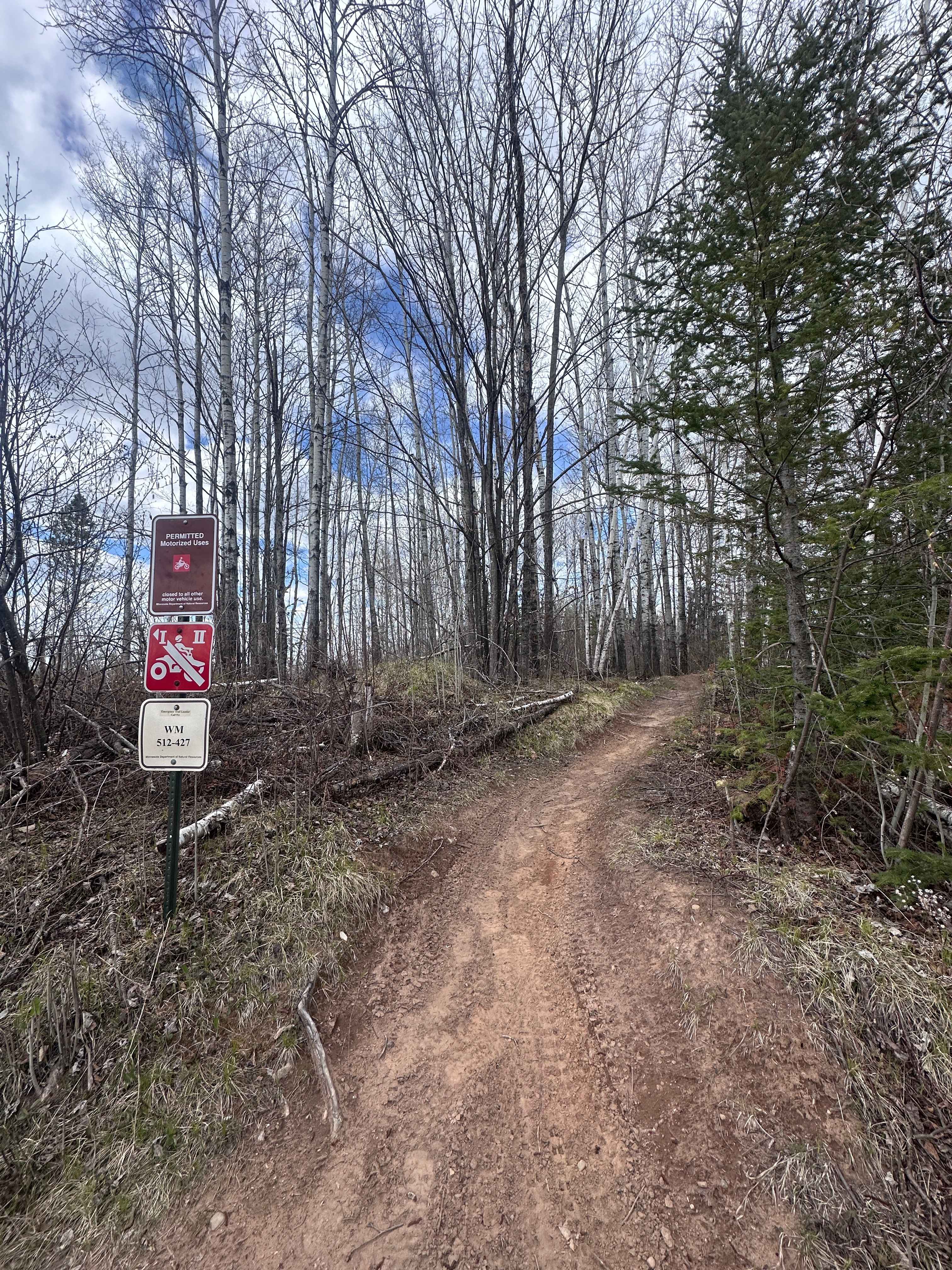
This trail runs parallel to Lake Superior before turning inland and climbing back into the forest. It follows a wide, well-maintained gravel surface with a few bumps along the way, but remains easy to navigate. The route passes several Superior National Forest hiking trails, as well as a non-motorized trail, making it a popular corridor for both recreational and local use. Designated parking areas are located near the trailheads. The main road continues uphill and eventually connects with the Cross River Trail. Drivers should be alert for a mix of local, tourist, and commercial traffic, especially during peak travel periods. While the trail offers scenic views and convenient access to recreational trails, it does not provide any formal or dispersed camping options. There are no amenities such as drinking water, restrooms, or trash disposal along the route. Cell phone reception may be limited depending on the location.
Photos of Temperance River


Difficulty
This forest trail is well-maintained and used by adventurers. The route is wide and clear of debris, with established tread and minimal overgrowth, making it ideal for a smooth and scenic drive.
Status Reports
Temperance River can be accessed by the following ride types:
- High-Clearance 4x4
- SUV
- SxS (60")
- ATV (50")
- Dirt Bike
Temperance River Map
Popular Trails


Hercules Loop

Quartz Mountain
Harlis Bypass
The onX Offroad Difference
onX Offroad combines trail photos, descriptions, difficulty ratings, width restrictions, seasonality, and more in a user-friendly interface. Available on all devices, with offline access and full compatibility with CarPlay and Android Auto. Discover what you’re missing today!