St. Croix High Line South
Total Miles
2.4
Technical Rating
Best Time
Spring, Summer, Fall
Trail Type
Full-Width Road
Accessible By
Trail Overview
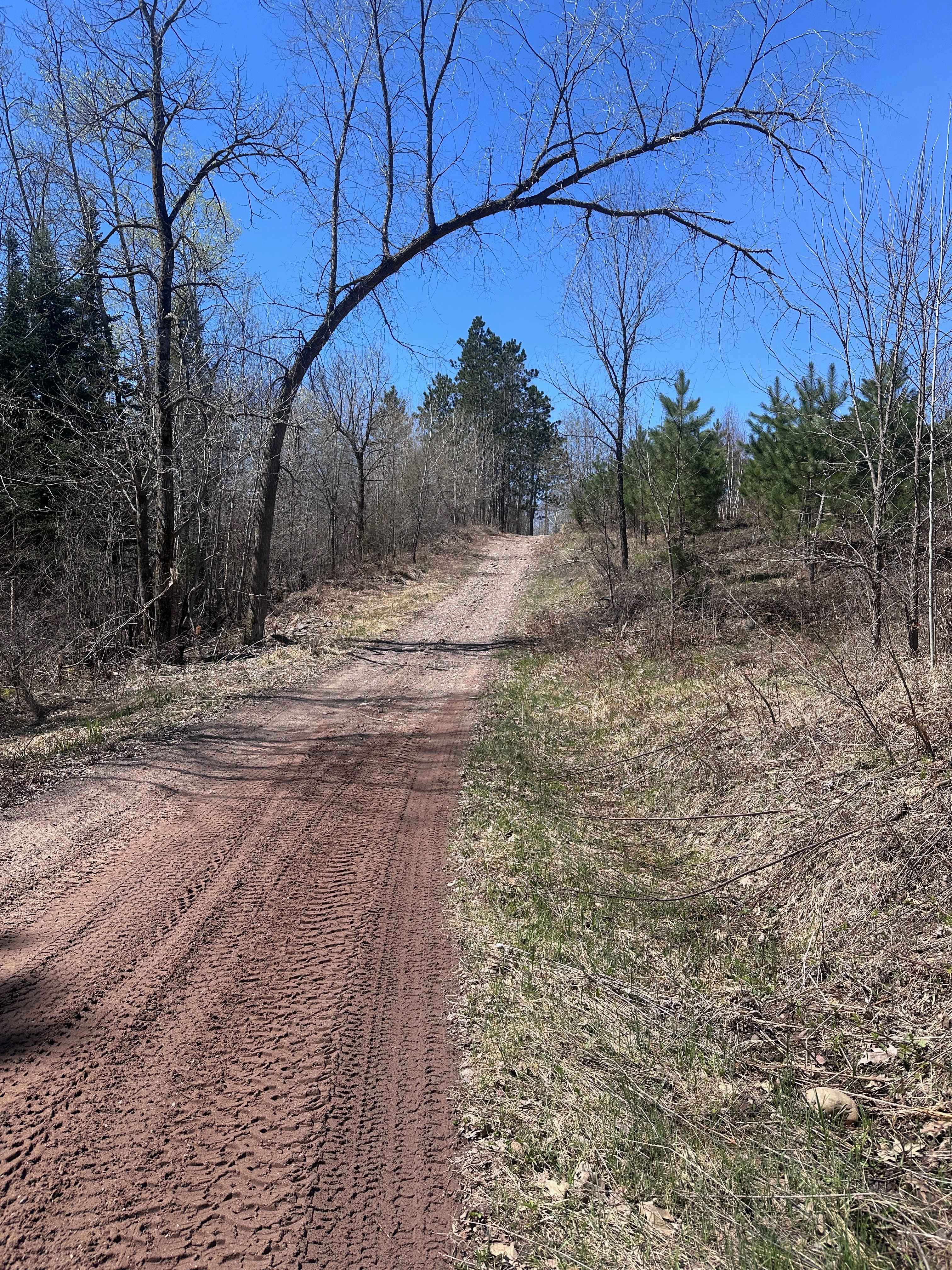
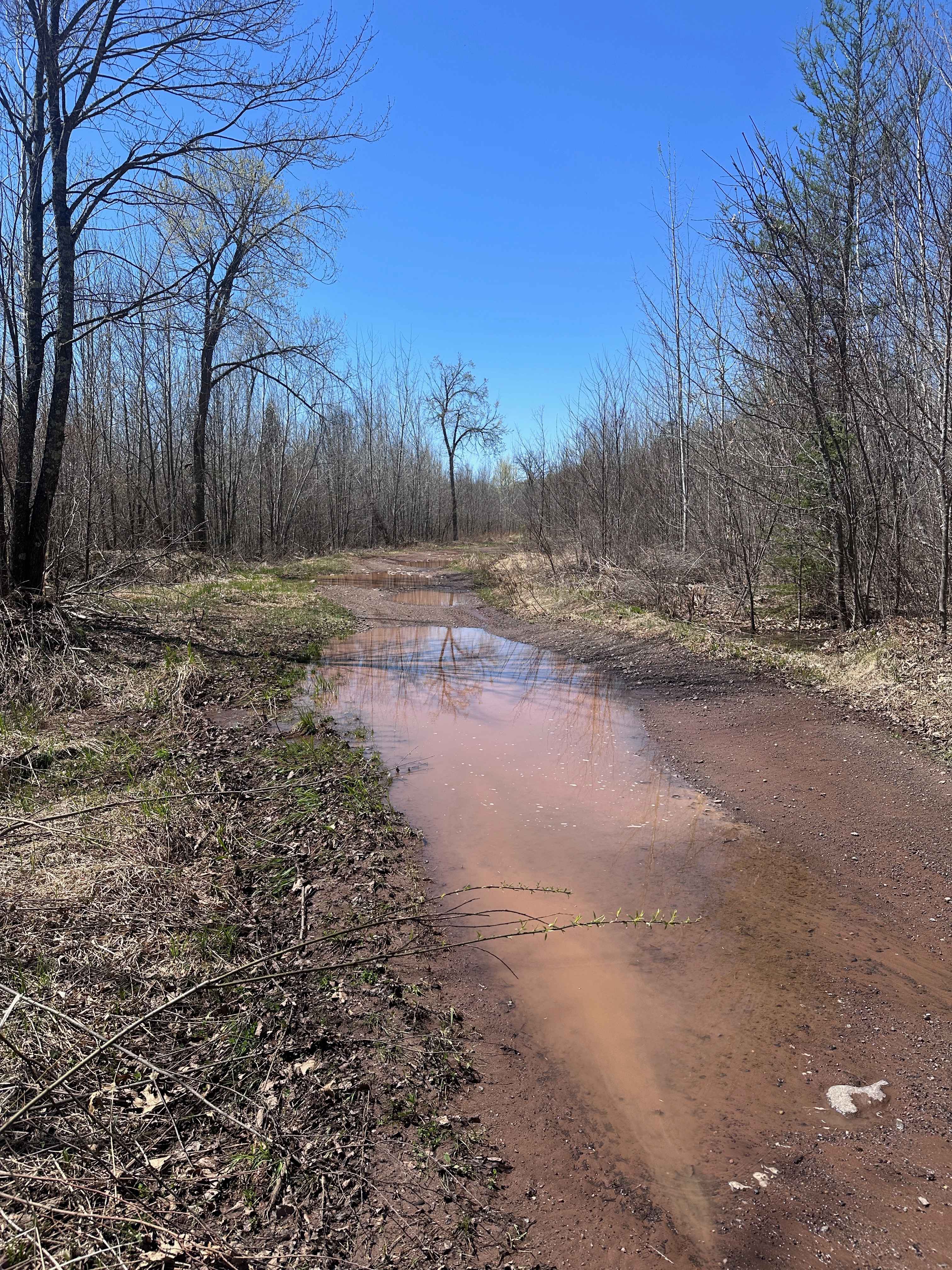
St. Croix High Line South is the southern portion of the trail, which begins at the staging area along Mallard Lake Forest Road. It ends at a large clearing with a small shelter and a vault toilet. OHV riders can continue beyond that point, but 4x4 drivers will have to use this as an out-and-back, as access is OHV only after reaching the shelter. Expect to encounter a somewhat steep grade at the beginning, several mud holes, lots of medium-sized rocks, and ruts where water has caused erosion.
Photos of St. Croix High Line South
Difficulty
For OHVs, this trail shouldn't be difficult at all, as most of the mud holes are shallow enough that you can just ride through. 4x4's with good tires should also do just fine, but the rocks make it a bouncy ride.
Status Reports
St. Croix High Line South can be accessed by the following ride types:
- High-Clearance 4x4
- SUV
- SxS (60")
- ATV (50")
- Dirt Bike
St. Croix High Line South Map
Popular Trails

Forest Service Road 1491


South Fowl Road

Pit Lake Spur B
The onX Offroad Difference
onX Offroad combines trail photos, descriptions, difficulty ratings, width restrictions, seasonality, and more in a user-friendly interface. Available on all devices, with offline access and full compatibility with CarPlay and Android Auto. Discover what you’re missing today!