Shoepack Lake
Total Miles
6.7
Technical Rating
Best Time
Spring, Summer, Fall, Winter
Trail Type
Full-Width Road
Accessible By
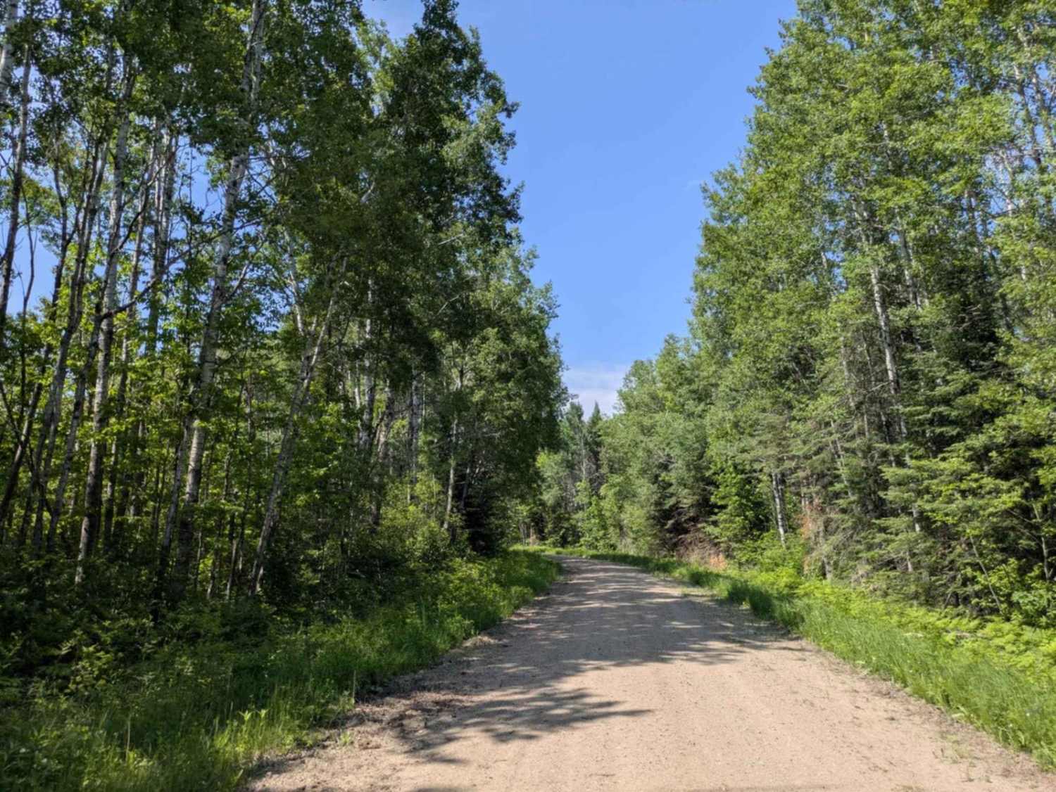
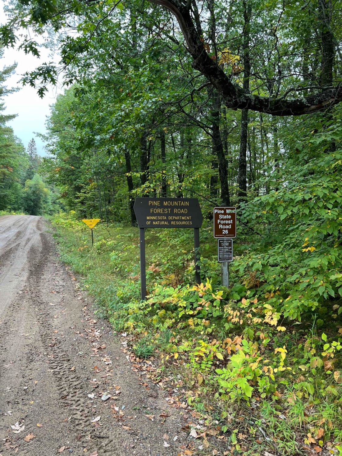
Trail Overview
This trail follows a mostly smooth gravel surface, though there are stretches with corrugations and potholes that may require slower travel. Early in the route, the trail reaches an intersection where the Manitou Overlook Hiking Trail branches off to the left. Continuing to the right, the trail passes through an area of recent logging activity, where cut logs are stacked for transport. Drivers should be alert for possible logging vehicles in this section. The route winds through forested terrain with gentle ascents and descents, offering a relatively easy but varied drive. A few minor trails split off from the main track, though most are overgrown and do not appear to be regularly used. The trail also skirts a small lake, adding a brief scenic element to the journey. There are no formal campsites along this route, and it lacks any amenities such as toilets, trash disposal, or drinking water. Cell reception may be unreliable or completely unavailable depending on location.
Photos of Shoepack Lake


Difficulty
This forest trail is well-maintained and used daily by residents and adventurers. The route is wide and clear of debris, with established tread and minimal overgrowth, making it ideal for a smooth and scenic drive.
Status Reports
Shoepack Lake can be accessed by the following ride types:
- High-Clearance 4x4
- SUV
- SxS (60")
- ATV (50")
- Dirt Bike
Shoepack Lake Map
Popular Trails


Spider Lake North State Forestry Rd
The onX Offroad Difference
onX Offroad combines trail photos, descriptions, difficulty ratings, width restrictions, seasonality, and more in a user-friendly interface. Available on all devices, with offline access and full compatibility with CarPlay and Android Auto. Discover what you’re missing today!