Rat Root Cascade
Total Miles
5.3
Technical Rating
Best Time
Summer, Fall, Winter, Spring
Trail Type
Full-Width Road
Accessible By
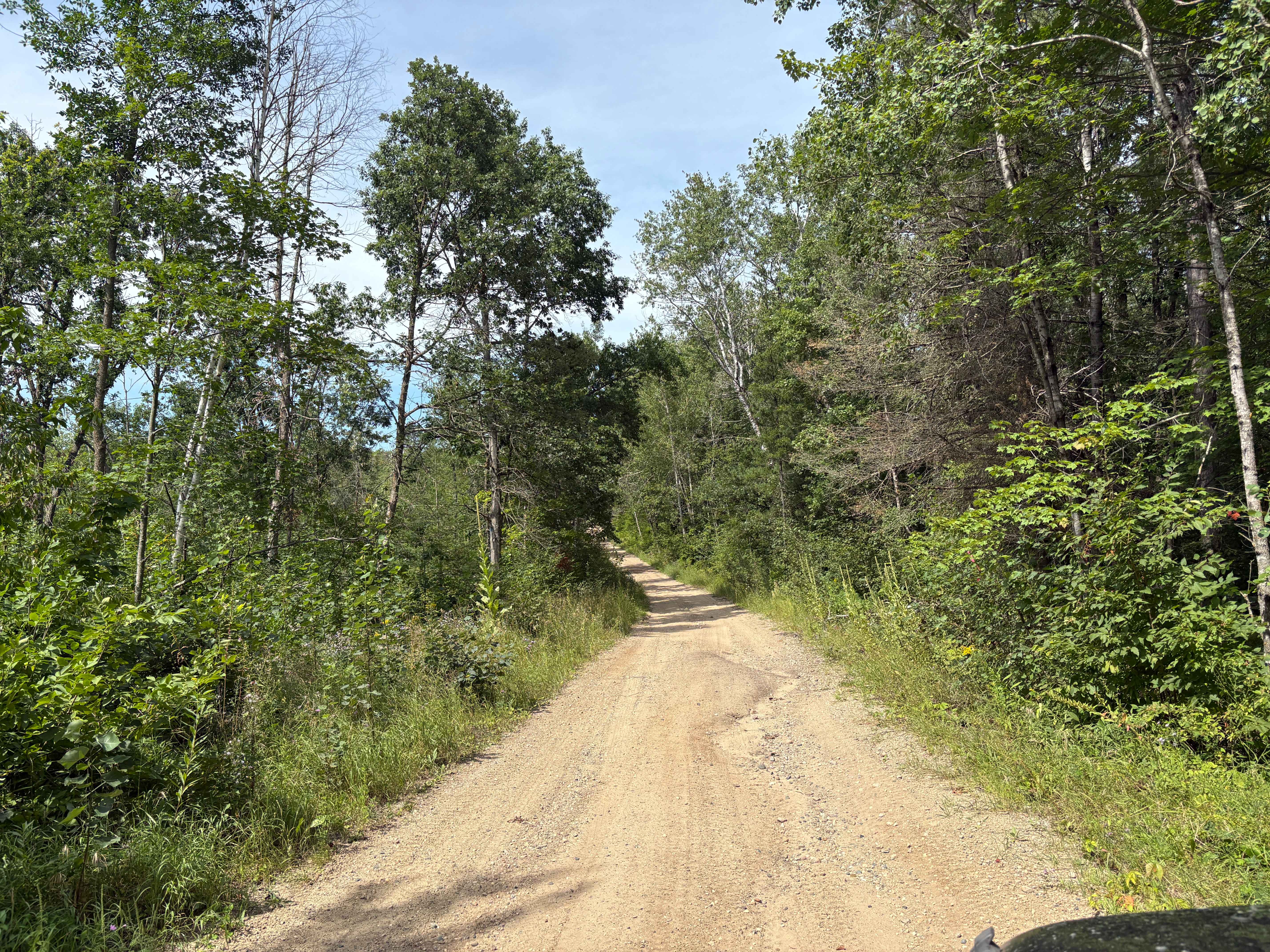
Trail Overview
This mostly scenic trail consists of a mix of gravel and exposed rock, with occasional large potholes that may require careful navigation. It runs alongside marshland and boggy terrain for much of its length, so drivers should proceed with caution, especially after rain or during wetter seasons. The area is quite remote and does not appear to receive much recreational traffic. However, there is active logging in the region, and logging vehicles may be encountered on the trail. The route itself is a narrow two-track with limited space for passing, making it important to drive slowly and be prepared to yield if another vehicle approaches. Although the trail presents a modest challenge, it remains navigable and enjoyable for those with high-clearance vehicles and some off-road experience. There are no formal campsites along this route, and it does not offer basic amenities such as trash bins or a water source. Cell service may be weak or unavailable in many sections.
Photos of Rat Root Cascade


Difficulty
This forested route is lightly maintained and typically sees use during peak seasons. Expect occasional fallen limbs, narrowing sections from plant growth, and minor obstacles.
Status Reports
Rat Root Cascade can be accessed by the following ride types:
- High-Clearance 4x4
- SUV
- SxS (60")
- ATV (50")
- Dirt Bike
Rat Root Cascade Map
Popular Trails
South Tulaby Trail

Thorpe Tower Road 5.4

Echo Trail

Wren Lake Loop
The onX Offroad Difference
onX Offroad combines trail photos, descriptions, difficulty ratings, width restrictions, seasonality, and more in a user-friendly interface. Available on all devices, with offline access and full compatibility with CarPlay and Android Auto. Discover what you’re missing today!