Pitt Grade Forest Trail
Total Miles
16.9
Technical Rating
Best Time
Summer, Fall, Winter, Spring
Trail Type
Full-Width Road
Accessible By
Trail Overview
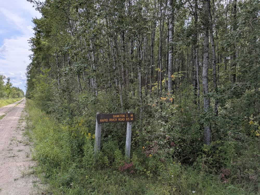
This 17-mile-long trail is mostly a smooth two-track route, single-vehicle wide, with some potholes scattered along its length. It winds through a mix of forest and scrub, offering a scenic drive and crossing at least one creek along the way. In certain areas, water lies beside the trail, so caution is advised, particularly during wetter periods. Local traffic may also be encountered. This trail crosses the Schuhe River via a bridge. Beside the river is a rustic campsite featuring a mowed lawn, a fire ring, a supply of firewood, and a simple shelter. From there, the trail eventually intersects with Bankton Road and Route 77, providing connections to other trails in the area. Although it passes the rustic campsite near the start, the trail itself offers no formal campsites and lacks amenities such as trash disposal or a water supply, and cell service may be limited.
Photos of Pitt Grade Forest Trail

Difficulty
This forest trail is well-maintained and used daily by residents and adventurers. The route is wide and clear of debris, with established tread and minimal overgrowth, making it ideal for a smooth and scenic drive.
Status Reports
Pitt Grade Forest Trail can be accessed by the following ride types:
- High-Clearance 4x4
- SUV
- SxS (60")
- ATV (50")
- Dirt Bike
Pitt Grade Forest Trail Map
Popular Trails

Forest Service Road 493B

Ash Lake Road


Gold Mine Road
The onX Offroad Difference
onX Offroad combines trail photos, descriptions, difficulty ratings, width restrictions, seasonality, and more in a user-friendly interface. Available on all devices, with offline access and full compatibility with CarPlay and Android Auto. Discover what you’re missing today!