Old Angora Road
Total Miles
4.3
Technical Rating
Best Time
Spring, Summer, Fall, Winter
Trail Type
Full-Width Road
Accessible By
Trail Overview
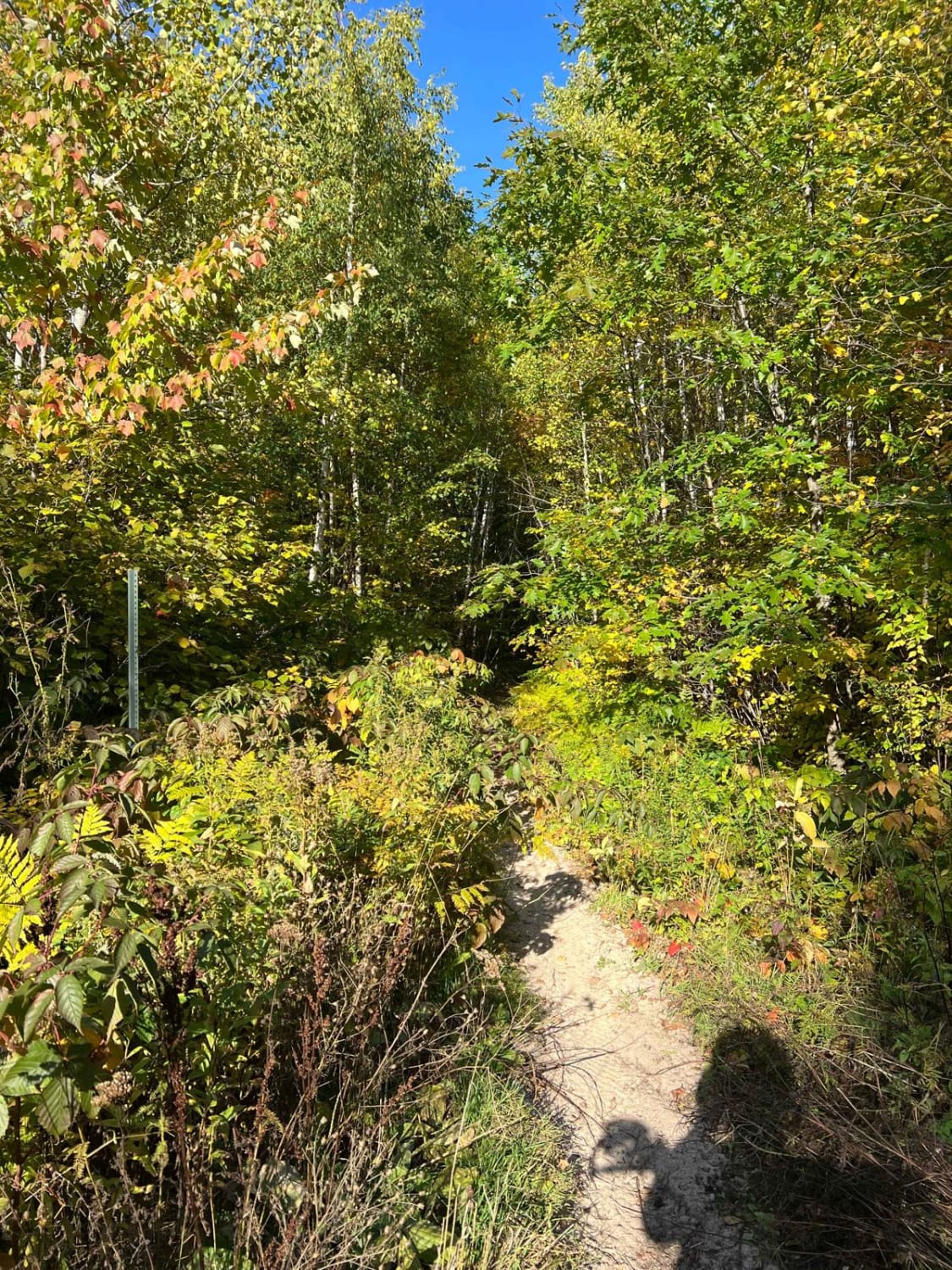
Approaching the trail from Hulum Road, the route quickly reveals its more challenging character. It is narrow, twisting, and features rocky, off-camber sections, with occasional steep climbs and muddy patches that can become slick after rain. Vegetation grows tightly along the sides, and drivers of wider vehicles, such as Jeeps or overland rigs, should expect the possibility of pinstriping. The trail intersects with both the Big Aspen cross-country ski trail and the Taconite ATV trail at different points, with signage visible along the way. One sign indicates the nearby Britt Lounge, a few miles off, which offers food and drinks. If entering from Highway 53, the trail begins as a narrow but reasonably well-maintained gravel road. As it progresses, the area transitions into a more enclosed and overgrown environment, eventually leading to an area designed primarily for ATV and side-by-side use. This portion becomes tighter and more technical, with narrow paths winding into the forest. A sign reading "share the road" reminds users that local residents also travel this route, including one private home that shares access with trail users. It's essential to proceed respectfully and at a safe speed. While there are no official or informal camp sites directly on the trail, two camp sites are located nearby on Hulum Road. These offer fire rings, tent pads, benches, and vault toilets; however, they do not have access to drinking water, electricity, or showers. Trash disposal is available, but it is not prominently marked. Despite the remoteness, there is 4G LTE cell coverage in the area.
Photos of Old Angora Road


Difficulty
Not maintained, with sections that may be eroded or overgrown. Best suited for capable OHVs or high-clearance 4x4s looking for an easy and scenic but slightly challenging route.
History
Superior National Forest, located in northeastern Minnesota, spans over three million acres of rugged wilderness, including portions of the iconic Boundary Waters Canoe Area Wilderness. The forest features more than 2,000 miles of trails and gravel roads, inviting visitors to explore boreal woodlands, glacial lakes, scenic ridgelines, and quiet backroads ideal for hiking, biking, snowmobiling, and overlanding. While some routes are well-maintained, others are remote and overgrown, so travelers should come prepared with maps, supplies, and a spirit of adventure, as amenities and cell service are limited in many areas.
Status Reports
Old Angora Road can be accessed by the following ride types:
- High-Clearance 4x4
- SUV
- SxS (60")
- ATV (50")
- Dirt Bike
Old Angora Road Map
Popular Trails

Blind Lake Trail- East 106

Twisted Sister

The View Overlook
Paul Bunyan's Overgrown ATV Trail
The onX Offroad Difference
onX Offroad combines trail photos, descriptions, difficulty ratings, width restrictions, seasonality, and more in a user-friendly interface. Available on all devices, with offline access and full compatibility with CarPlay and Android Auto. Discover what you’re missing today!