Mooseline
Total Miles
10.5
Technical Rating
Best Time
Spring, Summer, Fall, Winter
Trail Type
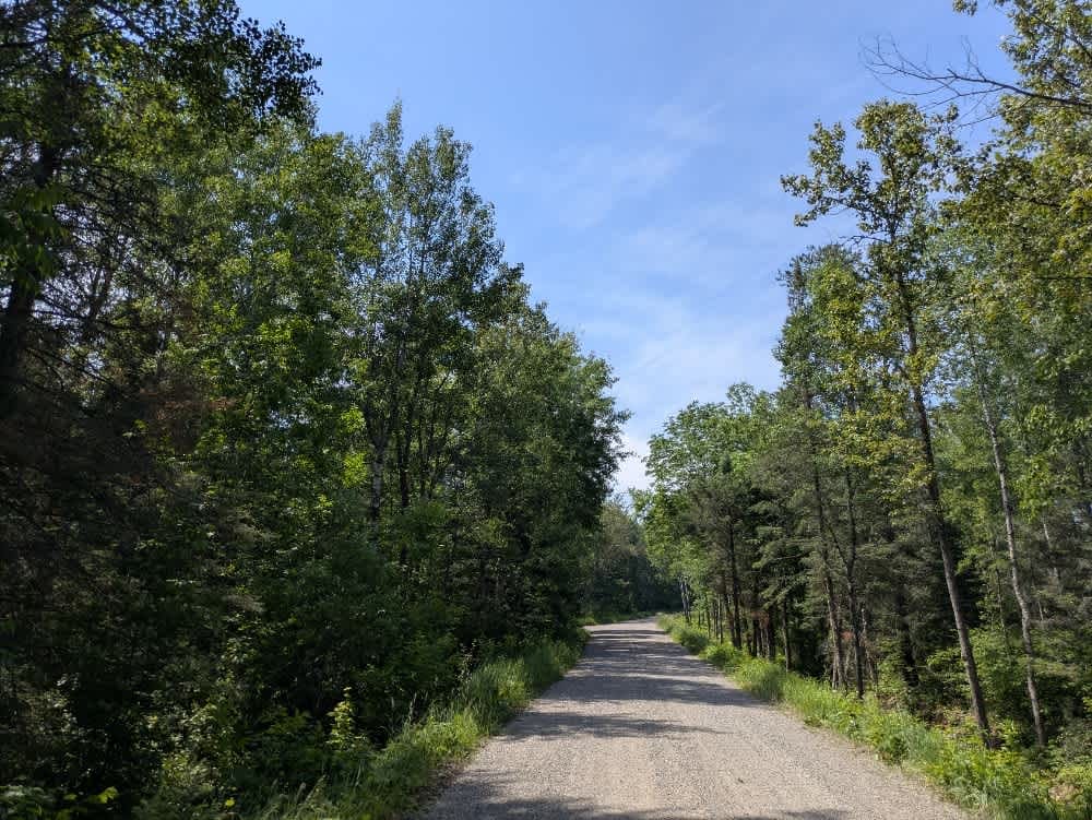
Full-Width Road
Accessible By
Trail Overview
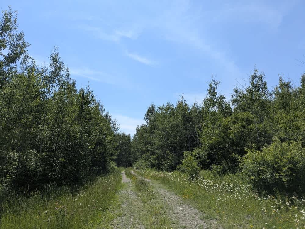
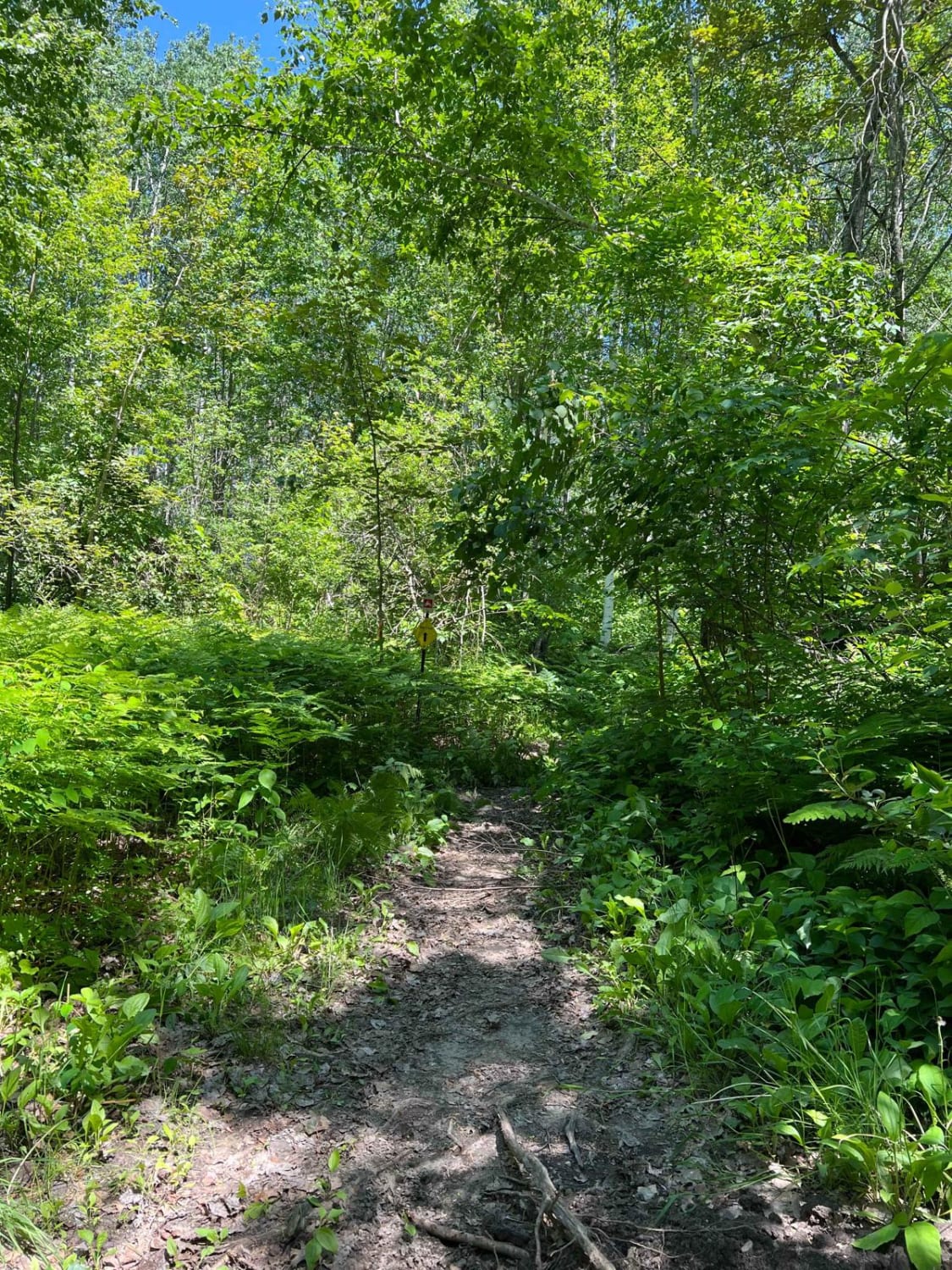
This long, gravel trail is the well-maintained main artery for adventure in the area and winds steadily through dense forest, offering a quiet and scenic drive. Several side trails branch off from the main route, including designated tracks for snowmobiles, ATVs, side-by-sides, and Jeeps, making it a good area to explore for those with capable vehicles. One snowmobile trailhead along the route features a small parking area and is clearly marked. Additionally, there is a dedicated ski trail (Skibo, the same name as a nearby paved road) with no snowmobiles permitted. The trail passes over a beautiful river that is good for fishing and can be accessed from either Townline Road or via Forest Road 1822, which approaches from the Iron Range. While there are few, if any, residences along the way, local traffic is not uncommon, especially on dry days when dust can reduce visibility. The trail does not offer any formal campsites; however, dispersed camping is generally permitted in the Superior National Forest, as long as you stay outside the Boundary Waters Canoe Area Wilderness and verify the regulations with local authorities. Amenities are non-existent--there are no restrooms, garbage services, or potable water--and cell signal may be weak or unavailable. Anyone camping should follow Leave No Trace practices to minimize impact.
Photos of Mooseline

Difficulty
This trail is well-maintained and regularly used by other OHV riders, road users, including residents in the area.
History
Superior National Forest was established in 1909 by President Theodore Roosevelt to protect the region's watersheds and natural resources after years of heavy logging and mining. The area has long been home to the Ojibwe people, who continue to maintain cultural ties to the land. In 1978, the Boundary Waters Canoe Area Wilderness within the forest was given added protection, making it one of the most visited wilderness areas in the U.S. today.
Status Reports
Mooseline can be accessed by the following ride types:
- High-Clearance 4x4
- SUV
- SxS (60")
- ATV (50")
Mooseline Map
Popular Trails

Brule Lake Road
Mooseline Spur E
Paul Bunyan South Border

The onX Offroad Difference
onX Offroad combines trail photos, descriptions, difficulty ratings, width restrictions, seasonality, and more in a user-friendly interface. Available on all devices, with offline access and full compatibility with CarPlay and Android Auto. Discover what you’re missing today!