Meeker County OHV Park Outer Loop
Total Miles
1.8
Technical Rating
Best Time
Summer, Fall
Trail Type
60" Trail
Accessible By
Trail Overview
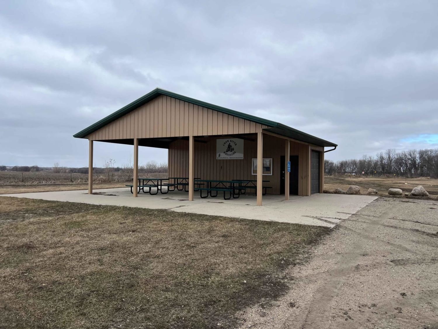
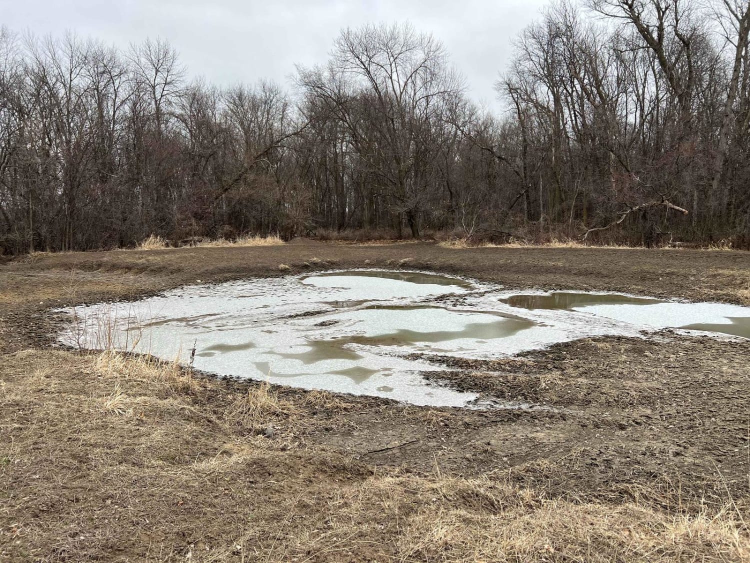
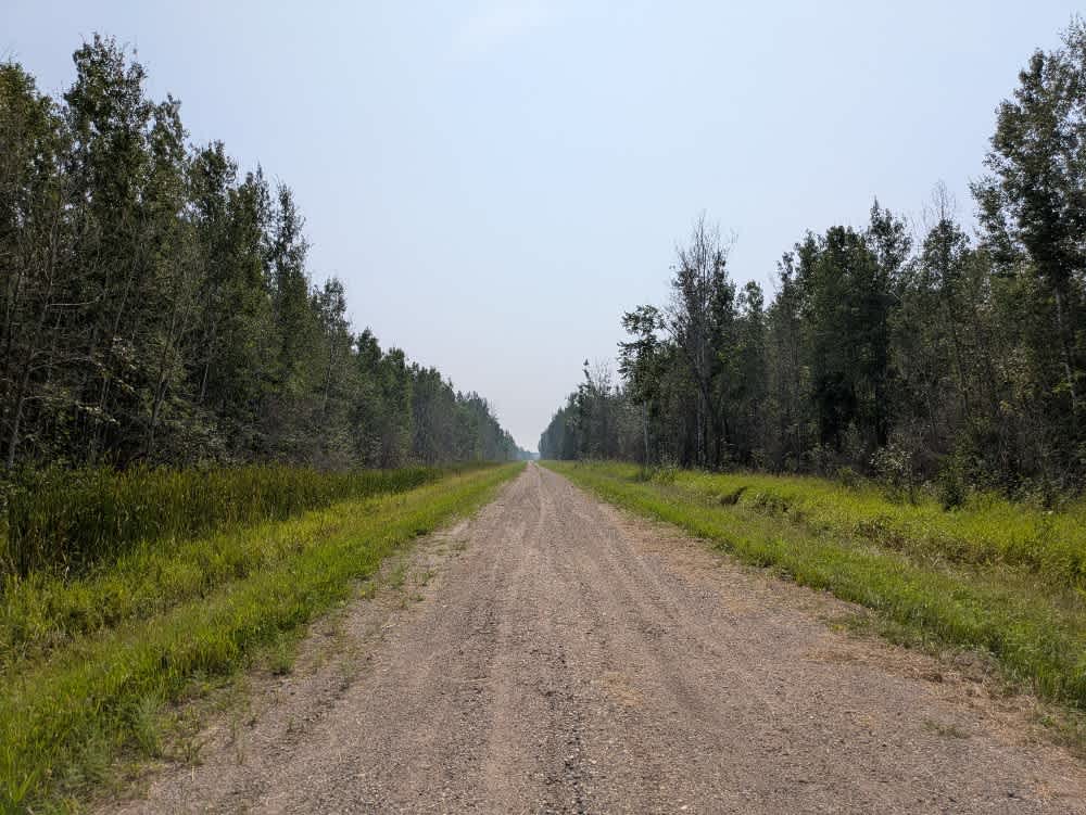
Narrow and winding trails travel through this 40-acre parcel of woods. There is a youth training area on site, as well as a picnic shelter area, restroom facilities, and plenty of parking. There is a constructed mud pit area and good cell service. Standard Minnesota ATV permits/licenses are required, but the park itself is free to use.
Photos of Meeker County OHV Park Outer Loop
Difficulty
Narrow and winding trails travel through this 40-acre parcel of woods.
Status Reports
Meeker County OHV Park Outer Loop can be accessed by the following ride types:
- SxS (60")
- ATV (50")
- Dirt Bike
Meeker County OHV Park Outer Loop Map
Popular Trails
Loberg Road

Wanless Trail

Northern Light
The onX Offroad Difference
onX Offroad combines trail photos, descriptions, difficulty ratings, width restrictions, seasonality, and more in a user-friendly interface. Available on all devices, with offline access and full compatibility with CarPlay and Android Auto. Discover what you’re missing today!