Graham Road
Total Miles
2.1
Technical Rating
Best Time
Summer, Fall, Winter, Spring
Trail Type
Full-Width Road
Accessible By
Trail Overview
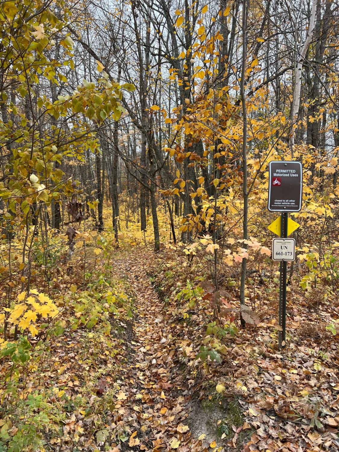
This trail offers a generally wide and well-maintained surface as it winds through a mix of forest and open fields, with a few scattered residences along the way. At one point, the road transitions from gravel to a short section of pavement that drops into a gully, crosses a river via a bridge, and then climbs back up the other side before returning to gravel. Several side trails branch off into the surrounding forest, but these appear to be quite dense and heavily overgrown, likely unsuitable for most vehicles. About three-quarters of a mile from Highway 73, the North Dark River hiking trail intersects with the road. A large rock has been placed at this point to discourage motorized access to the hiking trail. While this route offers a scenic and relatively quiet drive, there are no established or dispersed campsites along the way, and services such as trash disposal, drinking water, and reliable cell phone reception are not available.
Photos of Graham Road


Difficulty
This trail is well-maintained and regularly used by residents who reside in the area and people who fish.
Status Reports
Graham Road can be accessed by the following ride types:
- High-Clearance 4x4
- SUV
Graham Road Map
Popular Trails


Stony River Forest Road
Martineau Old Forest Short Cut

The onX Offroad Difference
onX Offroad combines trail photos, descriptions, difficulty ratings, width restrictions, seasonality, and more in a user-friendly interface. Available on all devices, with offline access and full compatibility with CarPlay and Android Auto. Discover what you’re missing today!