Lower Quartz Loop
Total Miles
0.2
Technical Rating
Best Time
Spring, Summer, Fall
Trail Type
Full-Width Road
Accessible By
Trail Overview
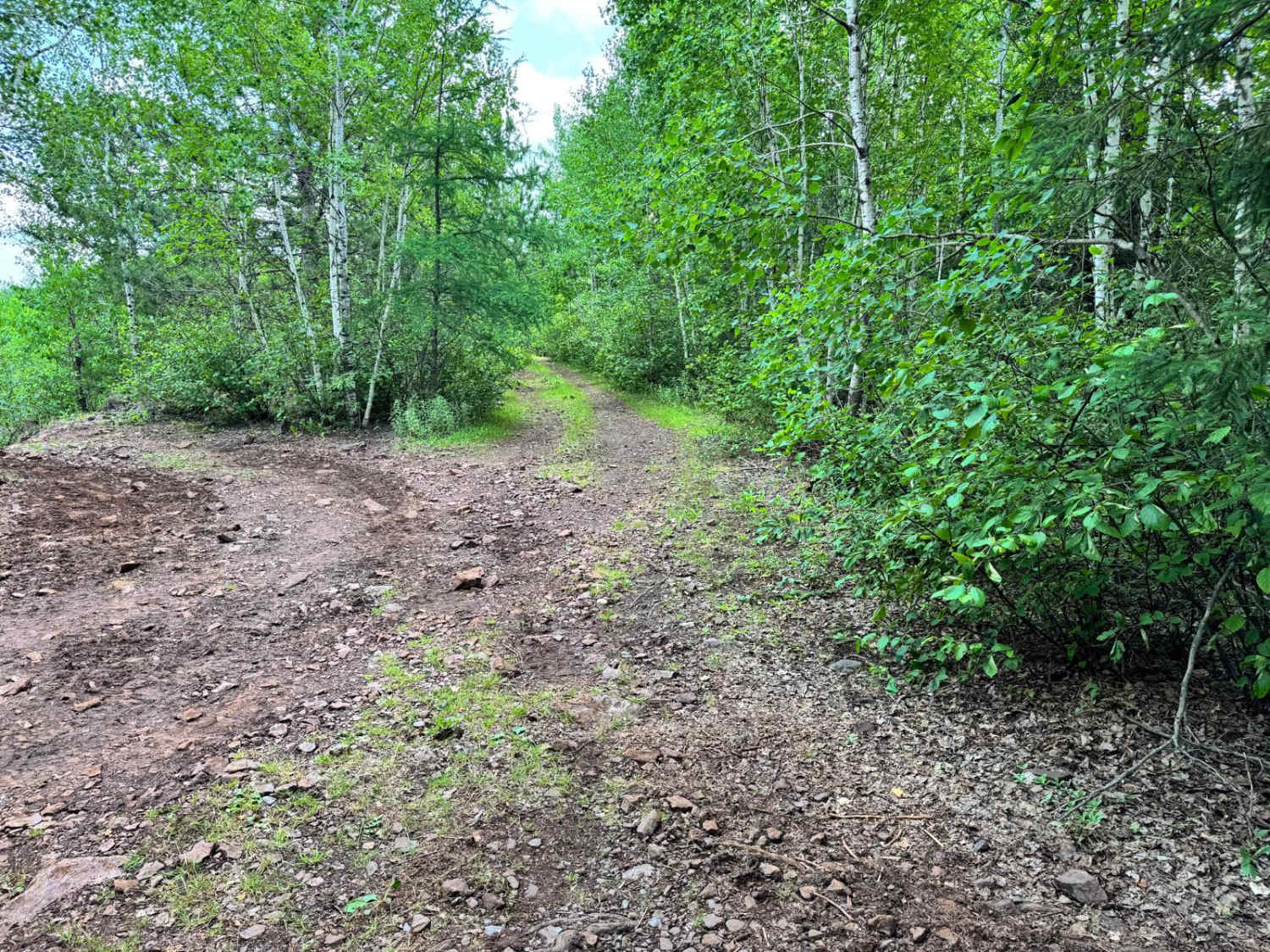
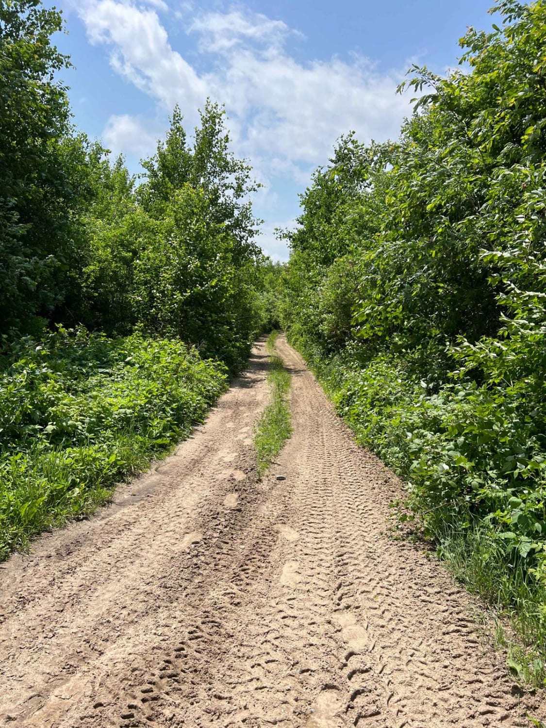
This trail is primarily dirt-based and winds through a densely wooded area, creating a narrow path with substantial overgrowth on both sides. It's a quiet and scenic route, but drivers of full-size or wider vehicles should be prepared for the likelihood of pinstriping due to tight tree-lined sections. The trail's surface remains relatively smooth and consistent, with no major rock obstacles, ledges, or technical features to worry about. It's ideal for beginners or those looking for a more relaxed ride, though caution is still advised when maneuvering through the tighter areas. Overall, it's a mellow and peaceful trail through the woods.
Photos of Lower Quartz Loop

Difficulty
While the trail has no technical obstacles, its narrow width and dense overgrowth can make it tricky for wider vehicles. Pinstriping is likely, but the terrain itself is smooth and beginner-friendly, making it suitable for most off-road rigs with basic clearance.
History
The Iron Range OHV Recreation Area was built on reclaimed mining land, once part of the rich Mesabi Iron Range that fueled U.S. steel production for over a century. Today, this 1,200+ acre site blends industrial history with outdoor adventure, offering a rare chance to ride through the remnants of Minnesota's mining legacy.
Status Reports
Lower Quartz Loop can be accessed by the following ride types:
- High-Clearance 4x4
- SUV
- SxS (60")
- ATV (50")
- Dirt Bike
Lower Quartz Loop Map
Popular Trails

Folly Creek

Dark River South
Akeley Cutoff Road SW Connector

The onX Offroad Difference
onX Offroad combines trail photos, descriptions, difficulty ratings, width restrictions, seasonality, and more in a user-friendly interface. Available on all devices, with offline access and full compatibility with CarPlay and Android Auto. Discover what you’re missing today!