Grace Lake Trail
Total Miles
3.9
Technical Rating
Best Time
Spring, Summer, Fall
Trail Type
60" Trail
Accessible By
Trail Overview
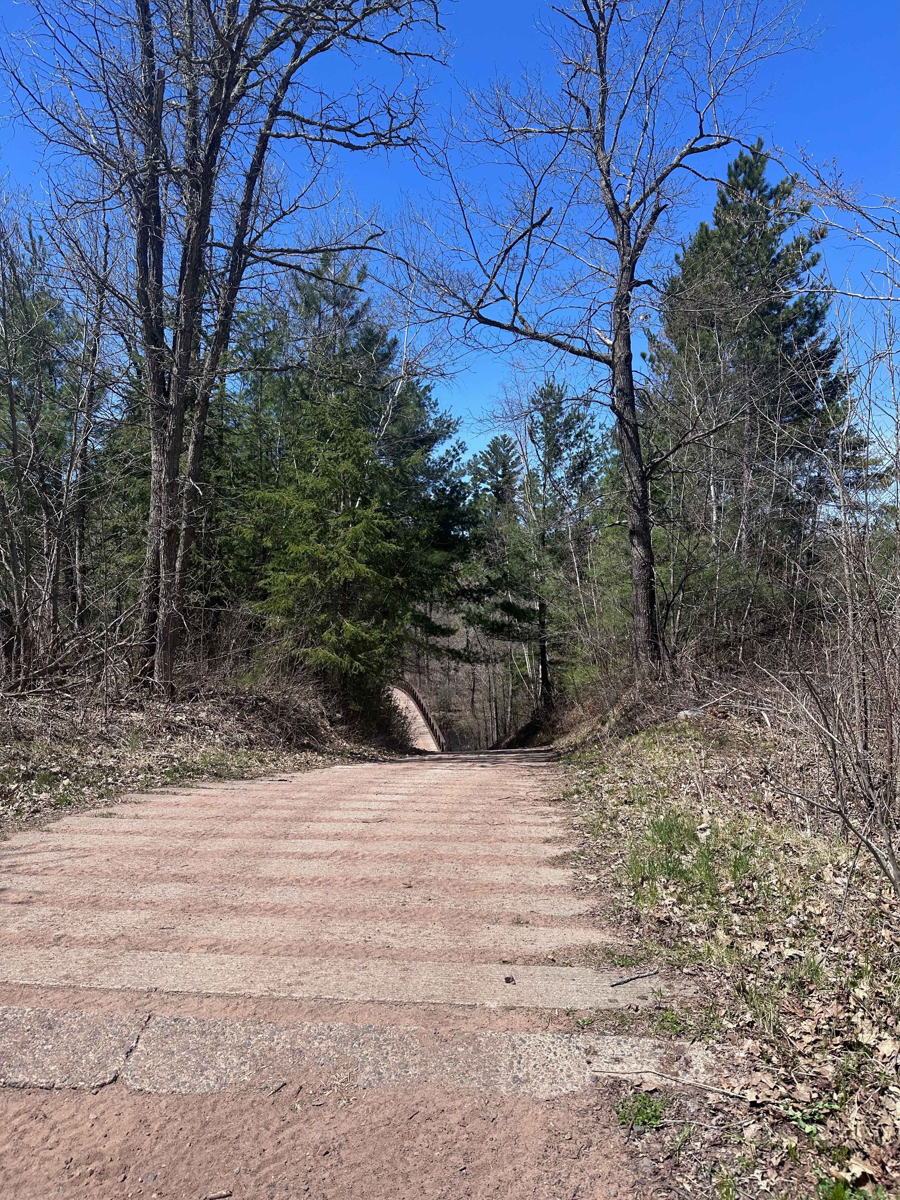
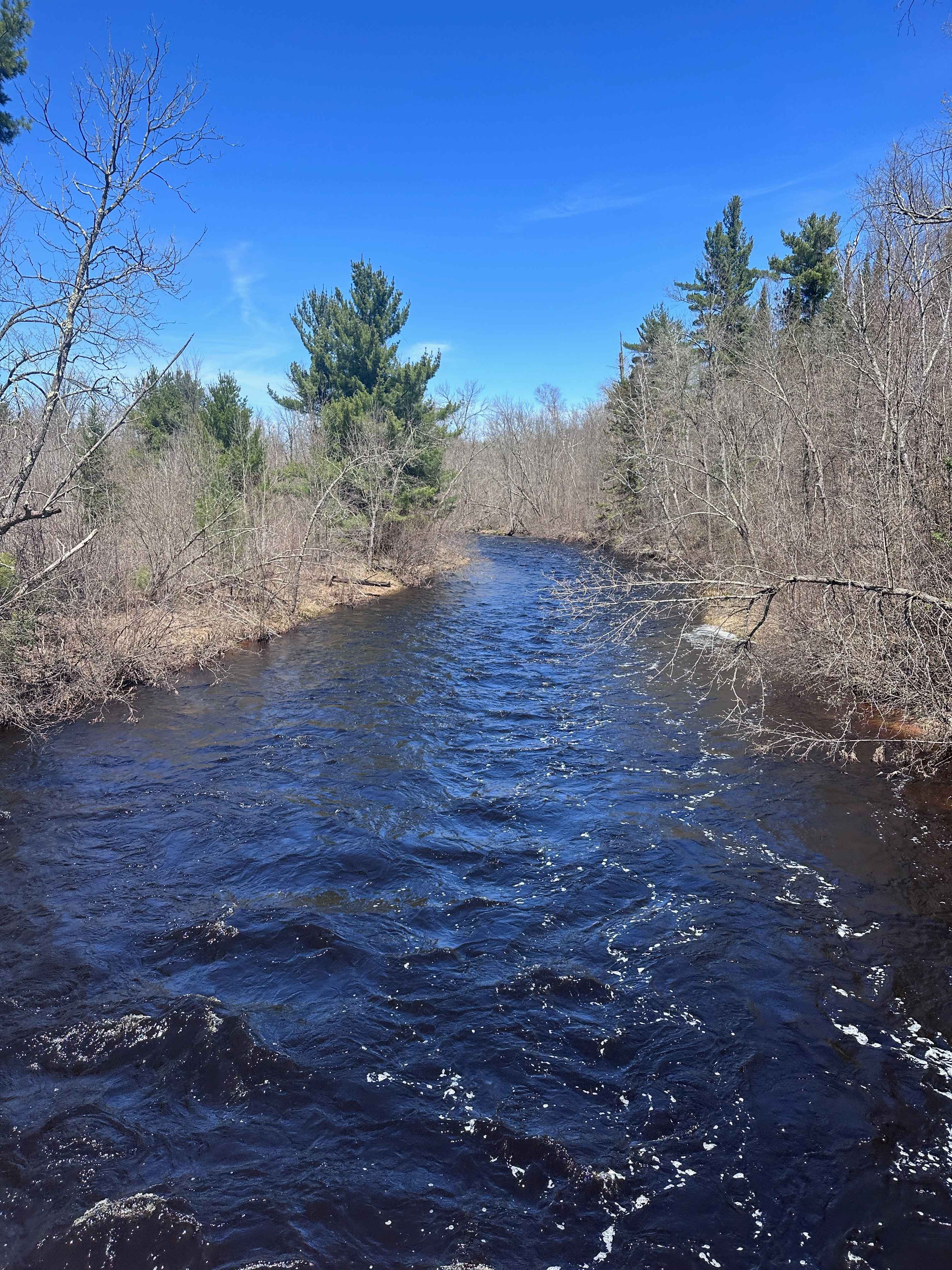
The Grace Lake Trail connects Tamarack Sandway to Grace Lake and empties just down the road from the public water access. This route is one of the most beautiful ones in the state forest, featuring a bridge crossing the Lower Tamarack River and countless stunning white pines with unique shapes. Expect some moderately steep grades, plenty of medium-sized rocks, some erosion, mud holes, and sand. There are a number of side areas along the trail with bowls and large pools of water. One pool in particular can get quite deep and will swallow a machine if the water is high. There is also a concrete hill at the bridge crossing the river that can be slick if it's wet.
Photos of Grace Lake Trail
Difficulty
This is an easy trail unless you decide to test your machine in one of the side water pools. Enter those at your own risk. Water can get around a foot deep on the normal trail and several feet deep on the side pools. Otherwise, just expect to manage traction on the concrete hill near the bridge if it's wet.
Status Reports
Grace Lake Trail can be accessed by the following ride types:
- SxS (60")
- ATV (50")
- Dirt Bike
Grace Lake Trail Map
Popular Trails


Powers Lake

Langley Road

Langley West Road
The onX Offroad Difference
onX Offroad combines trail photos, descriptions, difficulty ratings, width restrictions, seasonality, and more in a user-friendly interface. Available on all devices, with offline access and full compatibility with CarPlay and Android Auto. Discover what you’re missing today!