FS 2420
Total Miles
2.9
Technical Rating
Best Time
Spring, Summer, Fall, Winter
Trail Type
Full-Width Road
Accessible By
Trail Overview
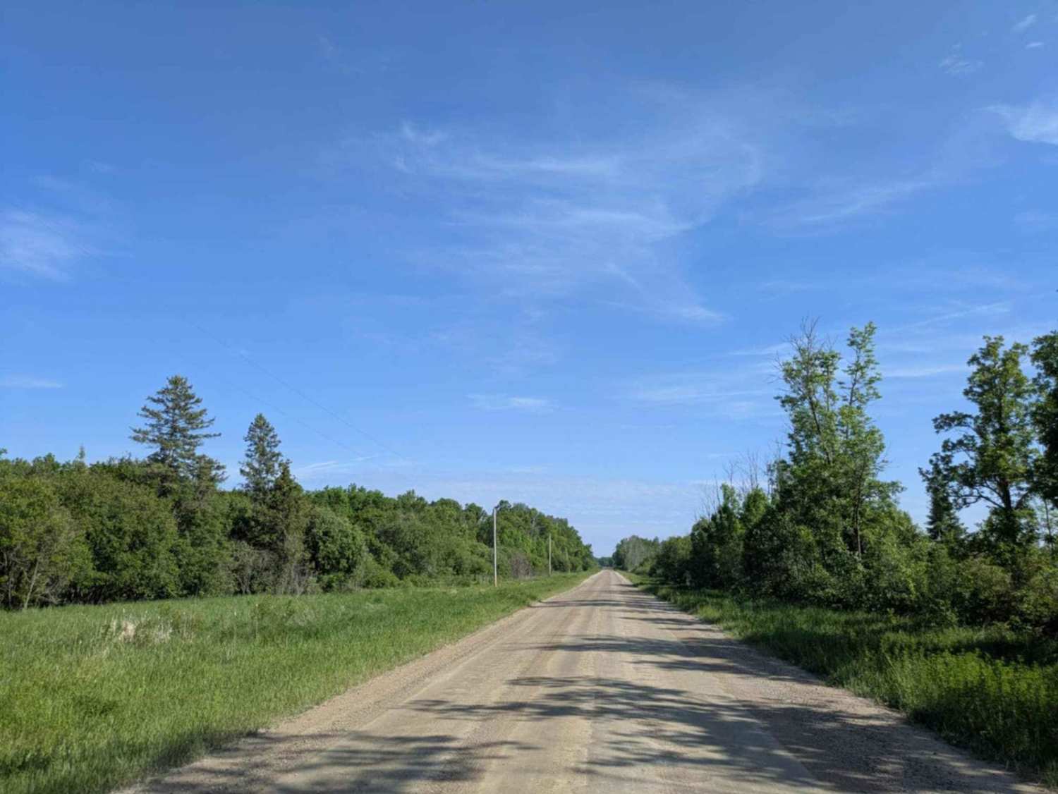
This trail is made up of well-maintained gravel, though it can be bumpy in spots due to corrugation, especially near the many homesteads in the area. It provides access to a lake with a boat launch and travels through forested terrain with a series of rolling hills. The combination of trees and elevation changes means there are several gradual ascents and descents along the route. There are no formal or dispersed campsites available along the trail, and amenities such as trash disposal and water supply are not provided. Cell service is limited, so it is advisable to consult your onX app for coverage details.
Photos of FS 2420

Difficulty
This trail is well-maintained and regularly used by other OHV riders, road users, including residents in the area.
History
Covering more than 1.6 million acres of glacial lakes, red-pine uplands, and sphagnum bogs, Minnesota's Chippewa National Forest lets motorists experience the North Woods at an unrushed pace. Paved state highways soon yield to a lattice of numbered forest roads, most of them well-graded gravel that thread between kettle ponds and stands of towering white pine, the tree that helped earn the forest its 1908 designation as one of America's first national forests. The forest harbors one of the highest breeding densities of bald eagles in the continental United States, and patient drivers often glimpse loons, black bears, and white-tailed deer as they move from shoreline to clear-cut regrowth and back again.
Status Reports
FS 2420 can be accessed by the following ride types:
- High-Clearance 4x4
- SUV
FS 2420 Map
Popular Trails

County Road 125 Northeast


Ketchum Road Northwest to Cass Lake

Forest Service Road 493B
The onX Offroad Difference
onX Offroad combines trail photos, descriptions, difficulty ratings, width restrictions, seasonality, and more in a user-friendly interface. Available on all devices, with offline access and full compatibility with CarPlay and Android Auto. Discover what you’re missing today!