Forest Service Road 1036
Total Miles
6.5
Technical Rating
Best Time
Summer, Fall, Winter, Spring
Trail Type
Full-Width Road
Accessible By
Trail Overview
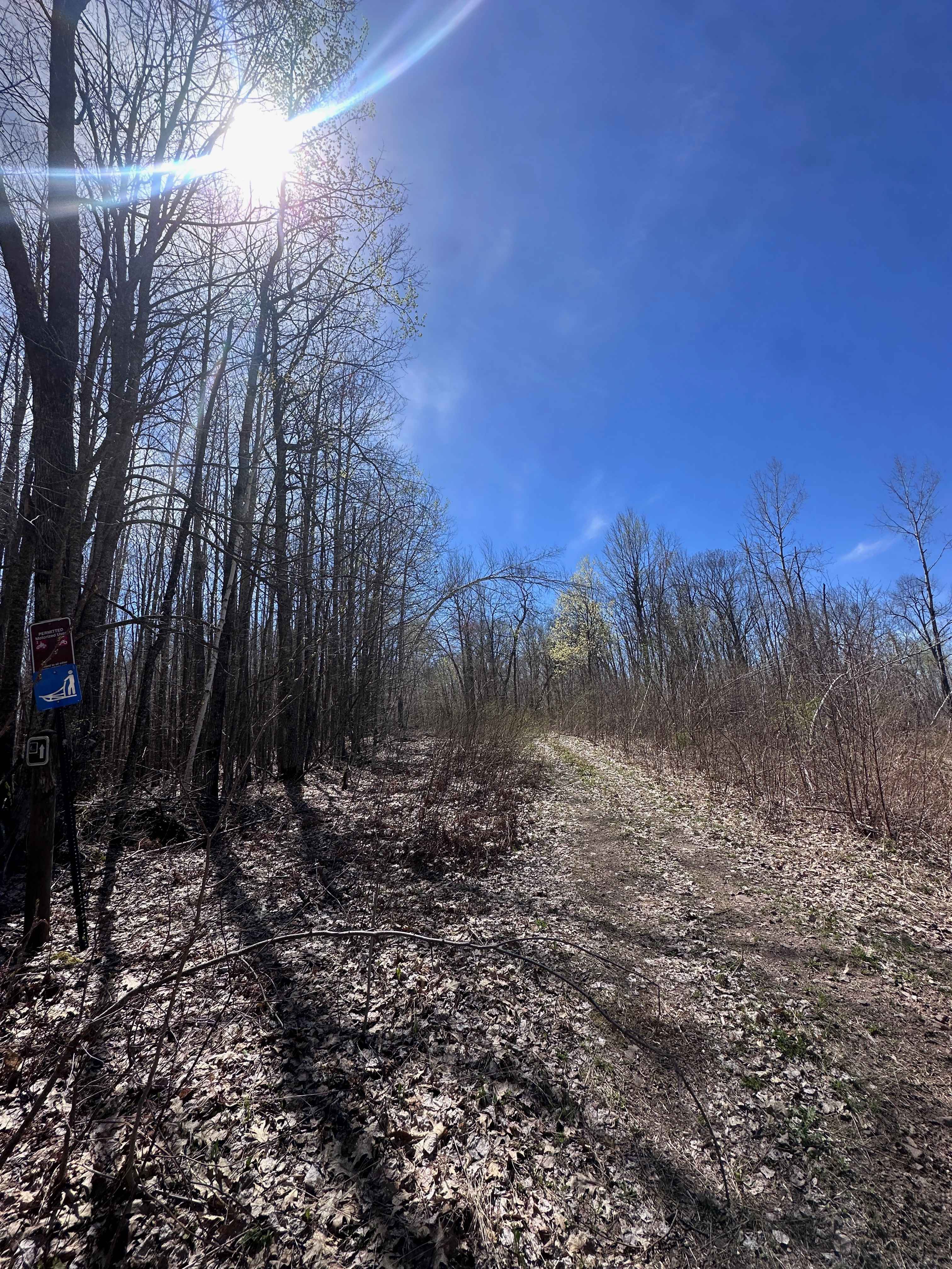
This trail begins as a wide gravel road that passes several residences near the starting point. As the trail continues, it gradually narrows and becomes noticeably rougher. Despite its proximity to homes, the surface is often muddy, with sections of loose gravel, embedded rocks, and standing puddles. The route winds past a scenic lake, offering a brief glimpse of the water before continuing toward a large open clearing. In this area, the surface transitions to sand, and a rough, overgrown track continues into the forest beyond. At the end of the main trail, there is public access to the lake with a large parking area, and a designated snowmobile trail begins nearby. While the trail is suitable for a short off-road excursion, it does not provide any formal or dispersed camping opportunities. There are no available amenities such as trash disposal or potable water, and cell service may be limited or unavailable depending on location.
Photos of Forest Service Road 1036


Difficulty
This forested route is lightly maintained and typically sees use during peak seasons. Expect occasional fallen limbs, narrowing sections from plant growth, and minor obstacles.
Status Reports
Forest Service Road 1036 can be accessed by the following ride types:
- High-Clearance 4x4
- SUV
- SxS (60")
- ATV (50")
- Dirt Bike
Forest Service Road 1036 Map
Popular Trails


Mesabi Mountain ORV trail
Hunter's Spur
The onX Offroad Difference
onX Offroad combines trail photos, descriptions, difficulty ratings, width restrictions, seasonality, and more in a user-friendly interface. Available on all devices, with offline access and full compatibility with CarPlay and Android Auto. Discover what you’re missing today!