Cross River
Total Miles
10.1
Technical Rating
Best Time
Spring, Summer, Fall, Winter
Trail Type
Full-Width Road
Accessible By
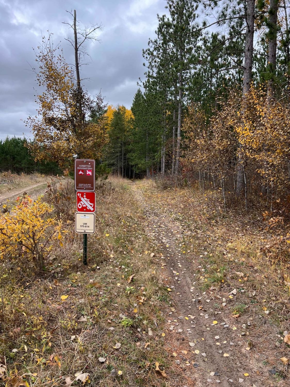
Trail Overview
This trail is accessed via a wide, well-maintained gravel road that winds through the forest with moderate ascents and descents. Logging activity is present near the beginning of the trail, particularly around the Richey Lake intersection, so drivers should be aware of potential truck traffic. The route offers a number of hiking trails and crosses a scenic river and a wooden bridge before continuing through additional sections of logged forest. A few overgrown spur trails branch off along the way, though most appear unused or difficult to navigate. As the trail climbs, it eventually connects with County Road 7. Along the trail, there is a very steep ascent and a sign describing the hill as Heartbreak Hill due to its being too steep for loggers, past and present, to climb in winter. Although the main surface is generally smooth, there are occasional potholes that can catch drivers off guard--particularly near the tops of small rises as the trail ascends. Visibility is limited on the rises, and there are corrugations in the trail surface. There is a lot of traffic, and the trail is dusty. While the drive offers a mix of forest views and river crossings, it does not include any designated or dispersed campsites. There are also no amenities such as trash disposal, potable water, or restrooms, and cell service may be limited or nonexistent.
Photos of Cross River


Difficulty
This forest trail is well-maintained and used by adventurers. The route is wide and clear of debris, with established tread and minimal overgrowth, making it ideal for a smooth and scenic drive.
History
The C.J. Ramstad / North Shore State Trail is a 146-mile multi-use trail stretching from Duluth to Grand Marais through remote forests, rivers, and ridgelines. Primarily groomed for snowmobiles in winter, it also supports hiking, mountain biking, and horseback riding in summer, though some sections can be muddy or wet. The most reliable warm-season stretch runs from Finland to Grand Marais, offering rugged backcountry travel and frequent wildlife sightings.
Status Reports
Cross River can be accessed by the following ride types:
- High-Clearance 4x4
- SUV
- SxS (60")
- ATV (50")
- Dirt Bike
Cross River Map
Popular Trails
Huntersville East Central Loop

Ball Club Road

360th Avenue NW
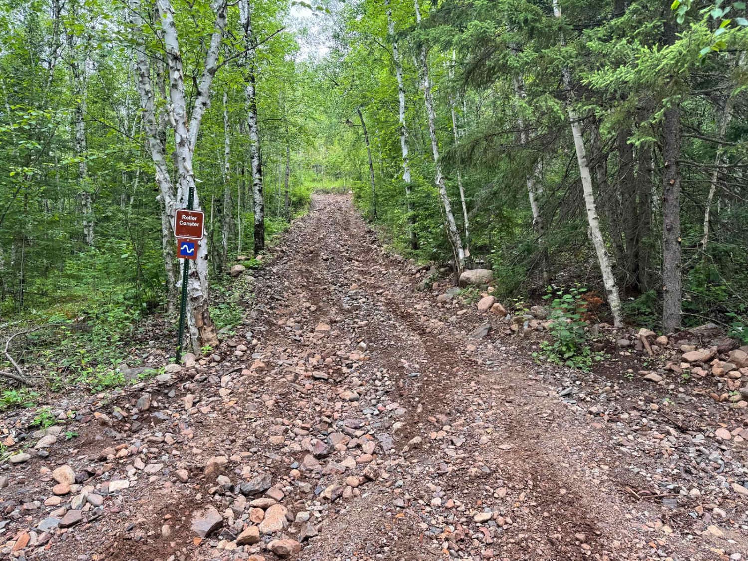
Roller Coaster
The onX Offroad Difference
onX Offroad combines trail photos, descriptions, difficulty ratings, width restrictions, seasonality, and more in a user-friendly interface. Available on all devices, with offline access and full compatibility with CarPlay and Android Auto. Discover what you’re missing today!