County Road 48
Total Miles
1.4
Technical Rating
Best Time
Summer, Fall, Winter, Spring
Trail Type
Full-Width Road
Accessible By
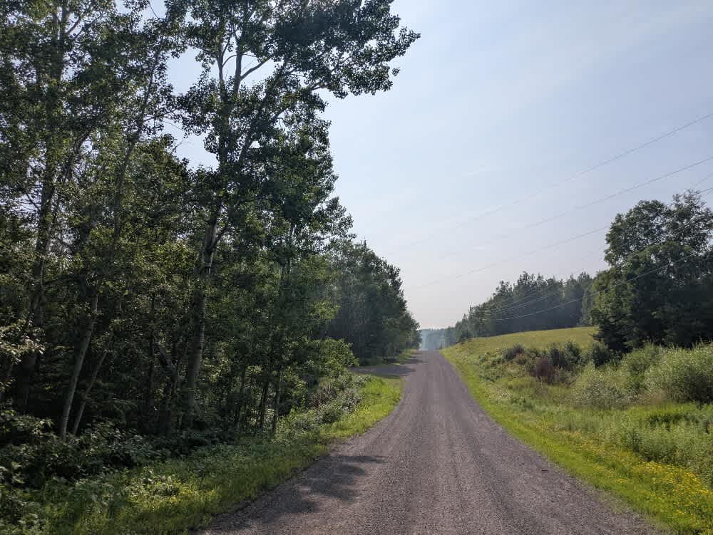
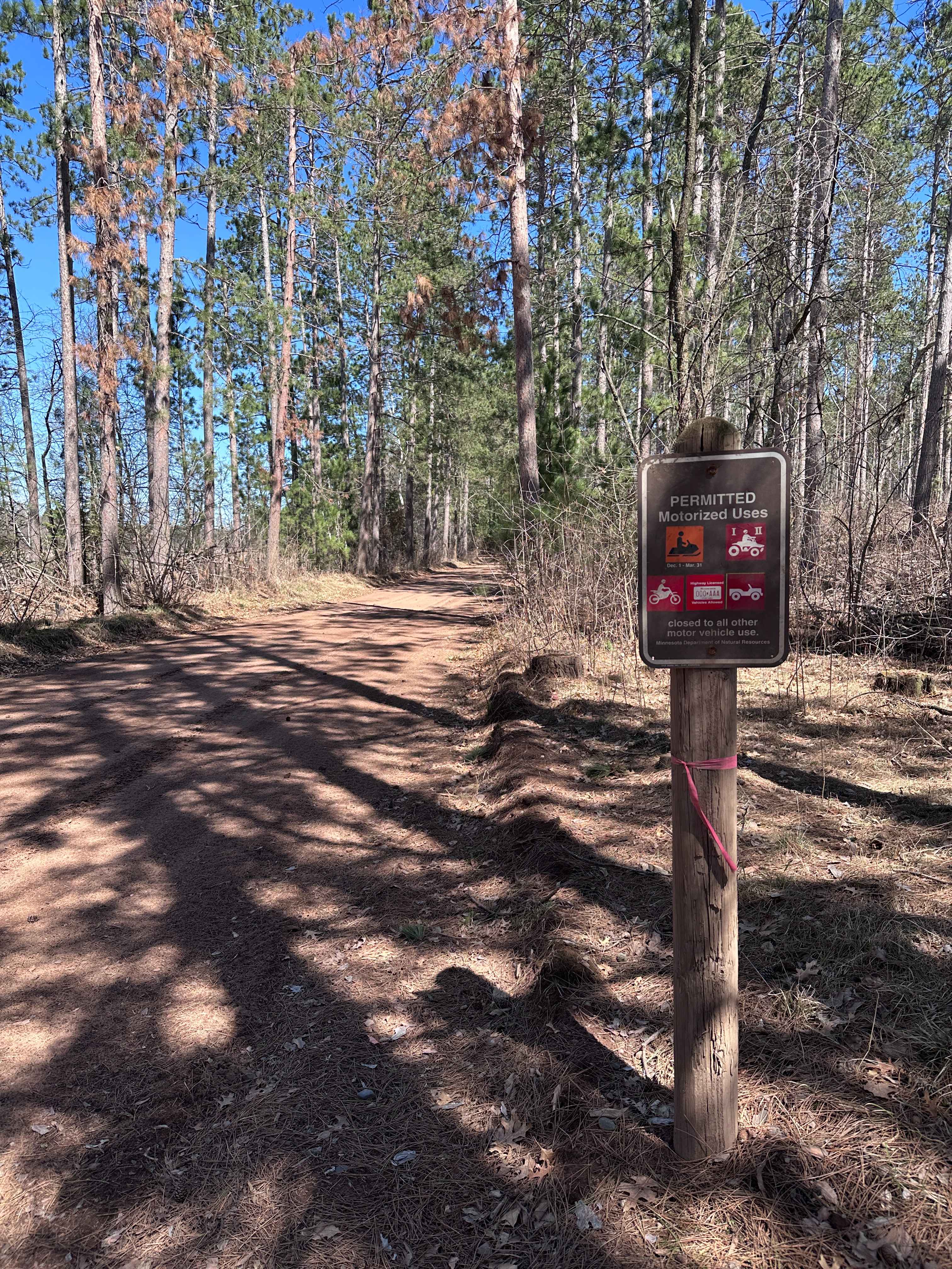
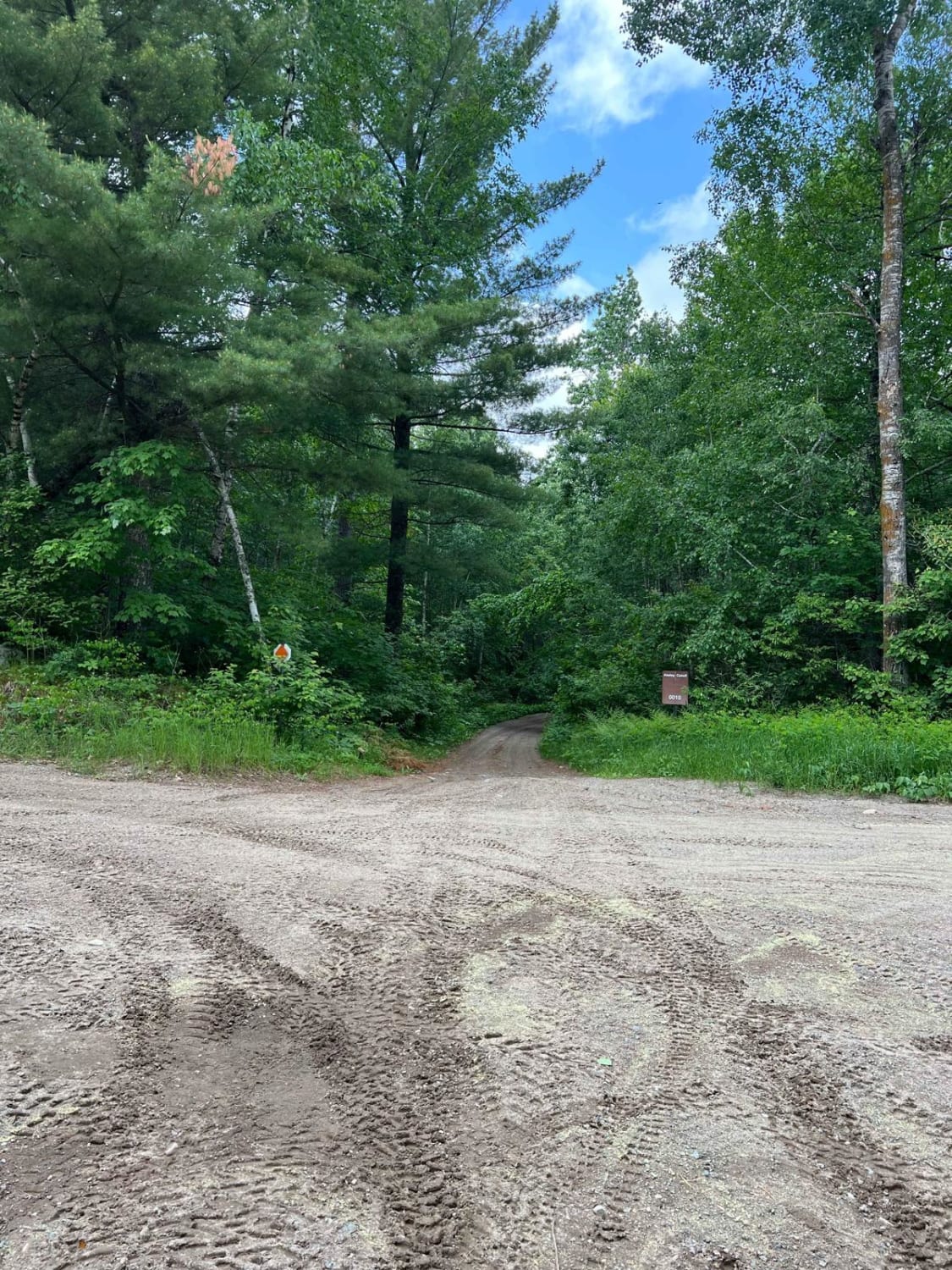
Trail Overview
County Road 48 begins with a steep climb from Highway 7 and is heavily corrugated along the initial section. As it approaches an intersection, several blind rises require caution, mainly due to the potential for oncoming local traffic. The trail is wide and well-maintained throughout, winding through a scenic forested area with a mix of ascents and descents. It passes by several residences, so drivers should remain aware of driveways and possible vehicle activity along the route. County Road 48 eventually connects with Bally Creek Road and provides access to the North Shore XC trailhead and its associated parking area. While the surroundings are pleasant and wooded, the trail does not offer any dispersed or formal camping options. There are no amenities along the route, including trash disposal or potable water. Cell service may be limited depending on the location.
Photos of County Road 48

Difficulty
This forest trail is well-maintained and used daily by residents and adventurers. The route is wide and clear of debris, with established tread and minimal overgrowth, making it ideal for a smooth and scenic drive.
Status Reports
County Road 48 can be accessed by the following ride types:
- High-Clearance 4x4
- SUV
County Road 48 Map
Popular Trails

West Round River - Part 1

Remer to Boy River
The onX Offroad Difference
onX Offroad combines trail photos, descriptions, difficulty ratings, width restrictions, seasonality, and more in a user-friendly interface. Available on all devices, with offline access and full compatibility with CarPlay and Android Auto. Discover what you’re missing today!