Prospectors Trail Number 8
Total Miles
0.7
Technical Rating
Best Time
Spring, Fall, Winter, Summer
Trail Type
Full-Width Road
Accessible By
Trail Overview
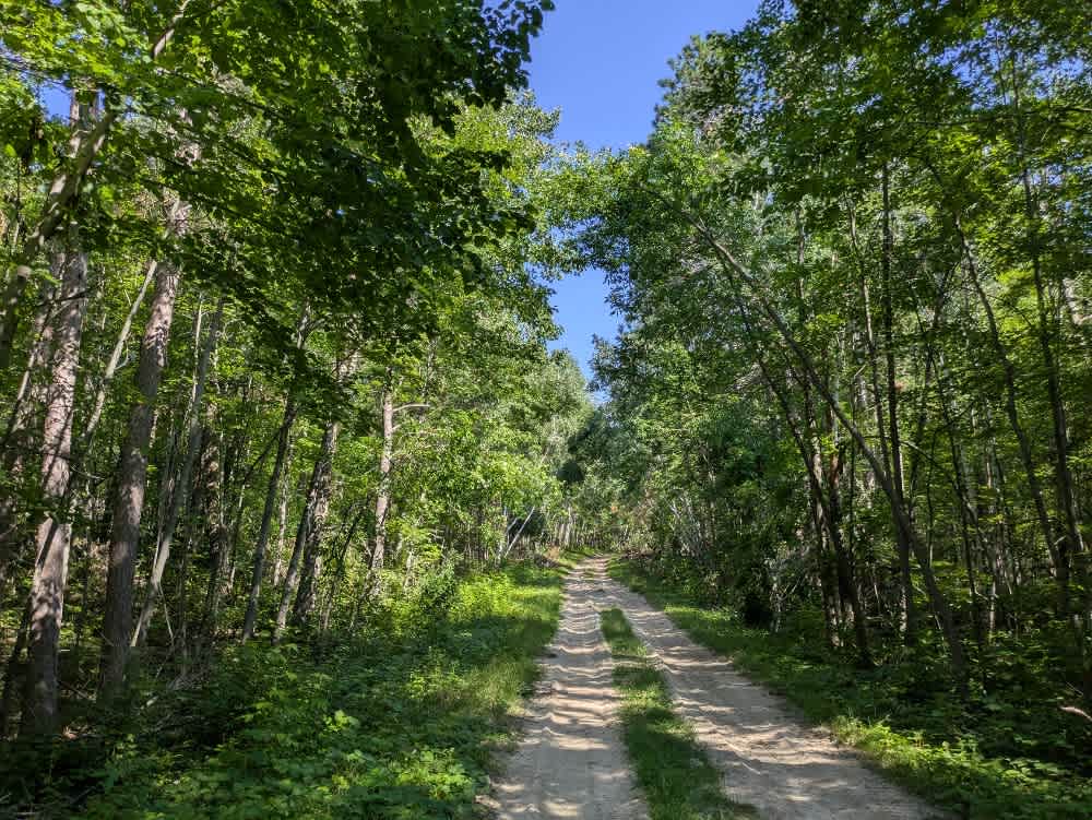
This narrow and winding trail branches off from Tomahawk Trail and forms part of the broader Prospectors Trail network. It passes through attractive forested terrain with frequent ascents and descents, and the surface varies between muddy stretches, embedded boulders, and off-camber ruts. The trail is tight in places and will likely leave scratches on wider vehicles. One section crosses a low, wet area where a damaged metal drainage pipe with sharp edges is partially concealed by vegetation, so caution is needed to avoid tire or underbody damage. Further along, the trail opens into a large sandy clearing; however, a recently installed sign now restricts year-round access to Jeeps and pickups. No formal campsites or services are available along this route. As with most of the Superior National Forest, dispersed camping is generally allowed outside the Boundary Waters Canoe Area Wilderness.
Photos of Prospectors Trail Number 8


Difficulty
This forested route is lightly maintained and typically sees use during peak seasons. Expect occasional fallen limbs, narrowing sections from plant growth, and minor obstacles.
Status Reports
Prospectors Trail Number 8 can be accessed by the following ride types:
- High-Clearance 4x4
- SUV
- SxS (60")
- ATV (50")
- Dirt Bike
Prospectors Trail Number 8 Map
Popular Trails
Camp Cassaway CT Southeast


East Range Multi-Use Trail

The onX Offroad Difference
onX Offroad combines trail photos, descriptions, difficulty ratings, width restrictions, seasonality, and more in a user-friendly interface. Available on all devices, with offline access and full compatibility with CarPlay and Android Auto. Discover what you’re missing today!