County Road 126
Total Miles
6.1
Technical Rating
Best Time
Summer, Spring, Fall, Winter
Trail Type
Full-Width Road
Accessible By
Trail Overview
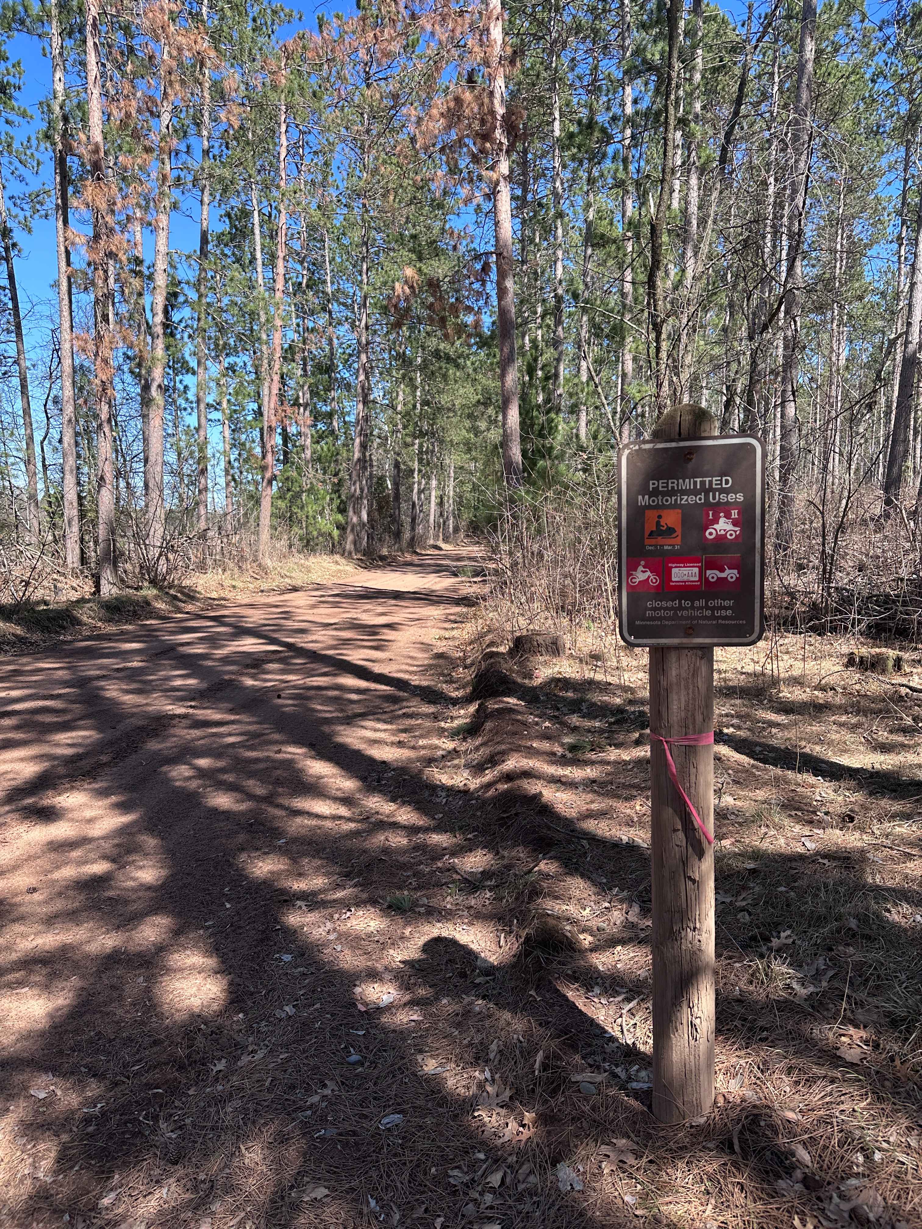
This trail is notably wide, and in one section, it opens up so much that it almost gives the impression of a highway under construction. It passes through a scenic area with numerous homes nearby, so it is essential to keep speeds low and watch for local traffic. The surface is corrugated in places, and the route includes some curves along with mild ascents and descents. There are no formal or dispersed campsites along the trail, and it lacks basic amenities like trash disposal and access to water. Cell service may be limited depending on location.
Photos of County Road 126


Difficulty
This trail is well-maintained and regularly used by other users and residents who reside in the area.
History
Covering more than 1.6 million acres of glacial lakes, red-pine uplands, and sphagnum bogs, Minnesota's Chippewa National Forest lets motorists experience the North Woods at an unrushed pace. Paved state highways soon yield to a lattice of numbered forest roads, most of them well-graded gravel that thread between kettle ponds and stands of towering white pine, the tree that helped earn the forest its 1908 designation as one of America's first national forests. The forest harbors one of the highest breeding densities of bald eagles in the continental United States, and patient drivers often glimpse loons, black bears, and white-tailed deer as they move from shoreline to clear-cut regrowth and back again.
Status Reports
County Road 126 can be accessed by the following ride types:
- High-Clearance 4x4
- SUV
County Road 126 Map
Popular Trails

Powder Horn NW


Morel Road NW
The onX Offroad Difference
onX Offroad combines trail photos, descriptions, difficulty ratings, width restrictions, seasonality, and more in a user-friendly interface. Available on all devices, with offline access and full compatibility with CarPlay and Android Auto. Discover what you’re missing today!