Connector Trail
Total Miles
1.0
Technical Rating
Best Time
Spring, Summer, Fall
Trail Type
Full-Width Road
Accessible By
Trail Overview
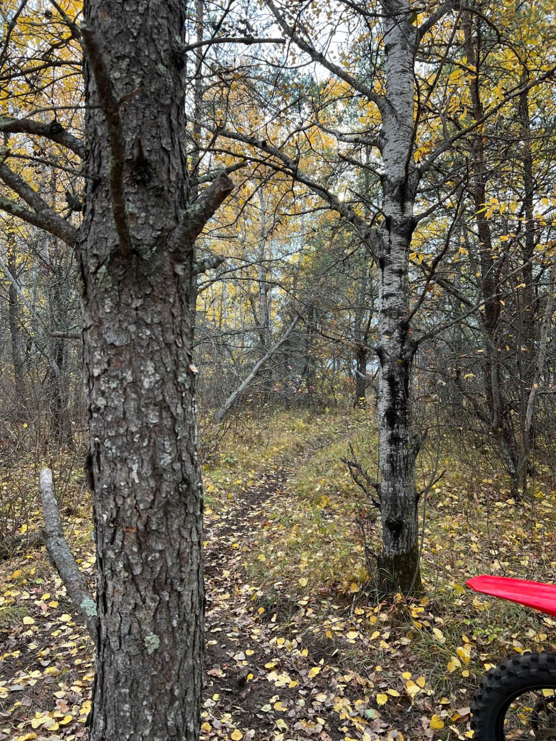
This trail runs along the outer edge of the park, beginning near the concrete area by the check-in office and continuing on a gravel path alongside the highway and adjacent bike trail. It's a non-technical route that serves more as a connector than a challenge, offering an easy drive that transitions riders from the main park area toward the Virginia Iron Range OHV expansion trails, as well as leading you closer to access to the Circle K gas station in the town of Gilbert to furl up, grab snacks, or more bug spray. Along the way, you'll pass clear signage directing you where to turn--specifically at a stop sign indicating a right turn toward the expansion area. One highlight of this route is a tunnel crossing where signage confirms that all OHVs are legal to travel on the connecting road, making it a smooth and compliant transition between trail systems. This route is ideal for getting from one part of the trail network to another while taking in the surrounding infrastructure.
Photos of Connector Trail


Difficulty
This is a low-difficulty connector trail designed for smooth travel between different sections of the park. The surface is all gravel and follows alongside pavement and bike paths, making it easy for all types of vehicles to navigate. There are no obstacles or technical elements to speak of, but there are a few important notes. The trail includes a tunnel that can collect water; depth may vary depending on recent rainfall, so proceed cautiously. Additionally, the corner just after exiting the tunnel is blind, meaning visibility is limited. Always slow down and watch for oncoming traffic when approaching or exiting this area.
History
The Iron Range OHV Recreation Area was built on reclaimed mining land, once part of the rich Mesabi Iron Range that fueled U.S. steel production for over a century. Today, this 1,200+ acre site blends industrial history with outdoor adventure, offering a rare chance to ride through the remnants of Minnesota's mining legacy.
Status Reports
Connector Trail can be accessed by the following ride types:
- High-Clearance 4x4
- SUV
- SxS (60")
- ATV (50")
- Dirt Bike
Connector Trail Map
Popular Trails
Huntersville Western Central Trail Start


The onX Offroad Difference
onX Offroad combines trail photos, descriptions, difficulty ratings, width restrictions, seasonality, and more in a user-friendly interface. Available on all devices, with offline access and full compatibility with CarPlay and Android Auto. Discover what you’re missing today!