Muckawa
Total Miles
1.7
Technical Rating
Best Time
Summer, Fall, Winter, Spring
Trail Type
Full-Width Road
Accessible By
Trail Overview
This trail begins with a rough, rocky surface and continues as a narrow two-track winding through scenic forest. It features a series of ascents and descents and is composed of a mix of gravel and exposed rock. Vegetation is dense throughout much of the route, and overgrowth along the trail makes pinstriping likely, particularly for wider vehicles. While the trail does not have any side spurs or alternate routes, there are a few small clearings along the way that offer space to pause or pull off briefly. The trail eventually leads into a swampy area, and turning around at the end can be difficult due to soft, muddy ground. Caution is advised to avoid getting stuck, especially during or after wet weather. There are no formal or dispersed campsites along the trail, and visitors should not expect amenities such as trash disposal or drinking water. Cell service may be unreliable or unavailable throughout the area.
Photos of Muckawa


Difficulty
This trail has not been maintained and is rarely used. Expect overgrowth, downed trees, and dense underbrush in areas. Travel is slow with backcountry obstacles
Status Reports
Muckawa can be accessed by the following ride types:
- High-Clearance 4x4
- SUV
- SxS (60")
- ATV (50")
- Dirt Bike
Muckawa Map
Popular Trails


330 Avenue NE
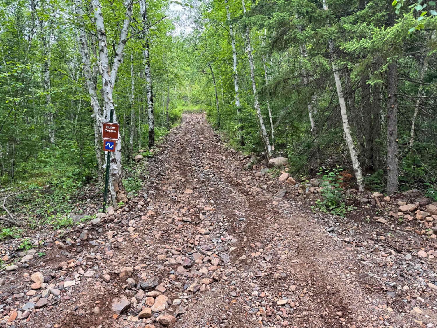
Roller Coaster

The onX Offroad Difference
onX Offroad combines trail photos, descriptions, difficulty ratings, width restrictions, seasonality, and more in a user-friendly interface. Available on all devices, with offline access and full compatibility with CarPlay and Android Auto. Discover what you’re missing today!