Onion River Road
Total Miles
5.5
Technical Rating
Best Time
Spring, Summer, Fall, Winter
Trail Type
Full-Width Road
Accessible By
Trail Overview
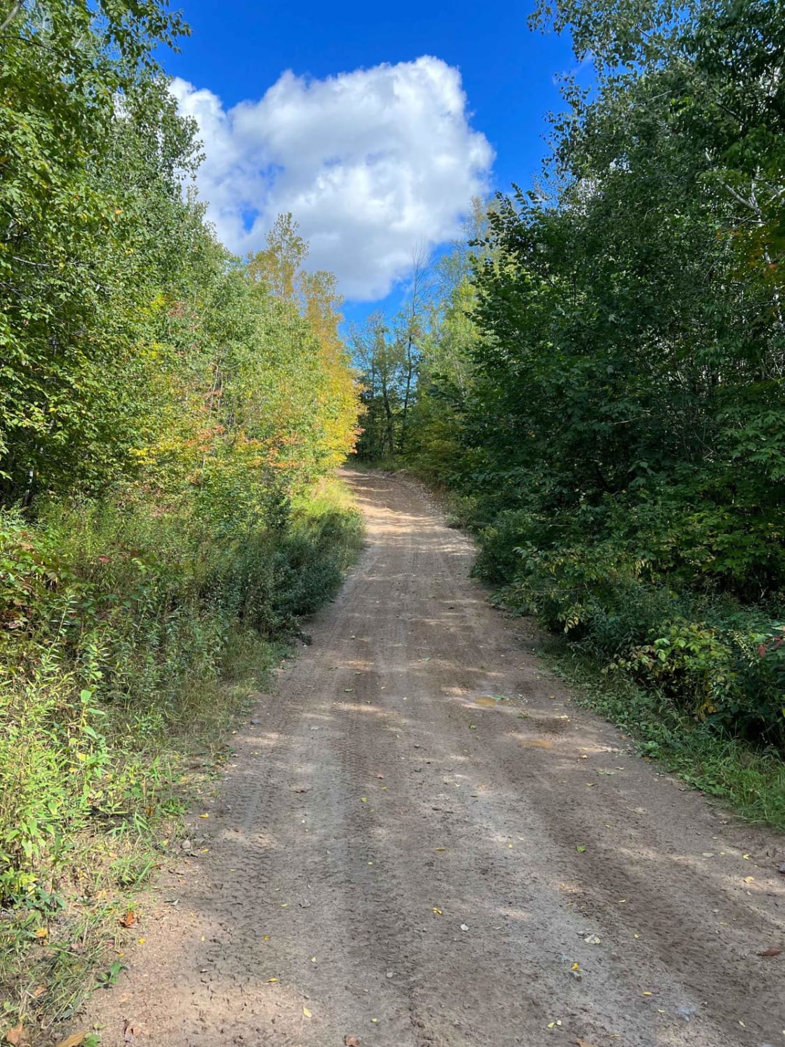
This trail climbs steeply along a well-maintained but bumpy gravel road. The initial section is relatively wide and can accommodate two vehicles, but caution is advised as both hikers and cars use the route. As the trail progresses and reaches the trailhead, it narrows significantly and begins to wind its way through dense forest. The second half of the trail is more rugged and may be undergoing maintenance, particularly due to storm damage reported in July 2025. Drivers should proceed carefully in this section and be alert for debris or partially blocked areas. Several designated non-motorized hiking trails branch off along the way, so keep an eye out for foot traffic. The drive offers scenic views and a peaceful forest setting, especially appealing during calm weather. There is a toilet available at the trailhead, but the trail itself does not provide any formal or dispersed camping. There are also no trash bins or water sources, and cell service may be intermittent or unavailable.
Photos of Onion River Road


Difficulty
This forest trail is well-maintained and used daily by residents and adventurers. The route is wide and clear of debris, with established tread and minimal overgrowth, making it ideal for a smooth and scenic drive. This road is accessible to all vehicles between April 1st and November 30th.
History
The Sugarbush Oberg Lake Loop, also known as the Oberg Mountain Loop, is a short but rewarding trail near Tofte, Minnesota. This 2.3-mile loop climbs through maple and birch forest to rocky overlooks with panoramic views of Lake Superior, Oberg Lake, LeVeaux Mountain, and the rolling Sawtooth ridges. The hike is considered moderate, with about 500 feet of elevation gain, some steep and rocky sections, and boardwalks over wetter ground. It's especially popular in late September for brilliant fall foliage, but it offers scenic views year-round. The trailhead is located off Onion River Road (Forest Road 336) about five miles northeast of Tofte, with parking shared with the nearby LeVeaux Mountain Trail.
Status Reports
Onion River Road can be accessed by the following ride types:
- High-Clearance 4x4
- SUV
- SxS (60")
- ATV (50")
- Dirt Bike
Onion River Road Map
Popular Trails


Narrow Foothills Highway

Whiteface Truck and Round Lake
The onX Offroad Difference
onX Offroad combines trail photos, descriptions, difficulty ratings, width restrictions, seasonality, and more in a user-friendly interface. Available on all devices, with offline access and full compatibility with CarPlay and Android Auto. Discover what you’re missing today!