790
Total Miles
2.6
Technical Rating
Best Time
Spring, Summer, Fall, Winter
Trail Type
Full-Width Road
Accessible By
Trail Overview
This trail is accessed from Mooseline Road and starts off as a narrow, unmaintained path through the forest. The early sections are moderately overgrown, with occasional mud, rocks, and branches that extend into the trail. There are some mild off-camber stretches, but overall, the terrain remains manageable for a capable vehicle and an attentive driver. A few spots along the way might be suitable for dispersed camping, though nothing is clearly established. The trail leads to the St. Louis River, where an old bridge--still in decent condition for lighter vehicles--spans the water. After crossing the bridge, the character of the trail undergoes a significant shift. It becomes heavily overgrown, with tall grass, large muddy puddles, deep ruts, and more pronounced off-camber sections. The trail eventually terminates at a set of large boulders, which appear to have been placed to block access, though one has been moved aside. Beyond the boulders, there's a steep hump and more uneven ground. This section is best suited to high-clearance vehicles with four-wheel drive, and drivers should be prepared for technical challenges. Based on terrain and difficulty, this trail rates around a 3. While there are no designated campsites, dispersed camping is generally allowed in Superior National Forest, as long as it's outside the Boundary Waters Canoe Area Wilderness and approved by local authorities. There are no services along the trail, and cell coverage is likely to be limited or non-existent. Anyone camping should follow Leave No Trace guidelines.
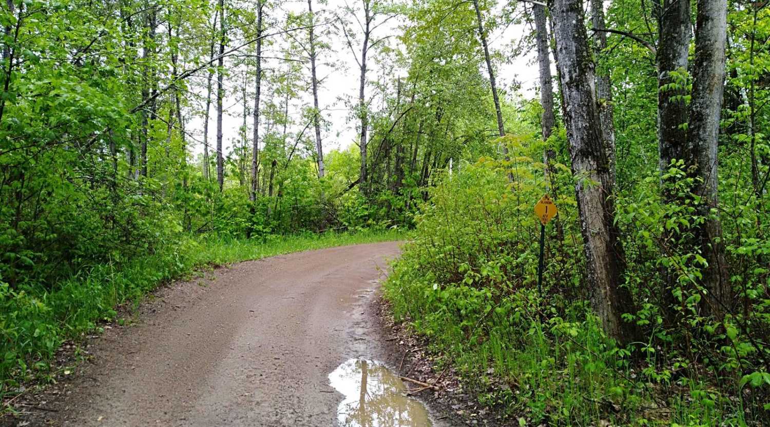
Photos of 790

Difficulty
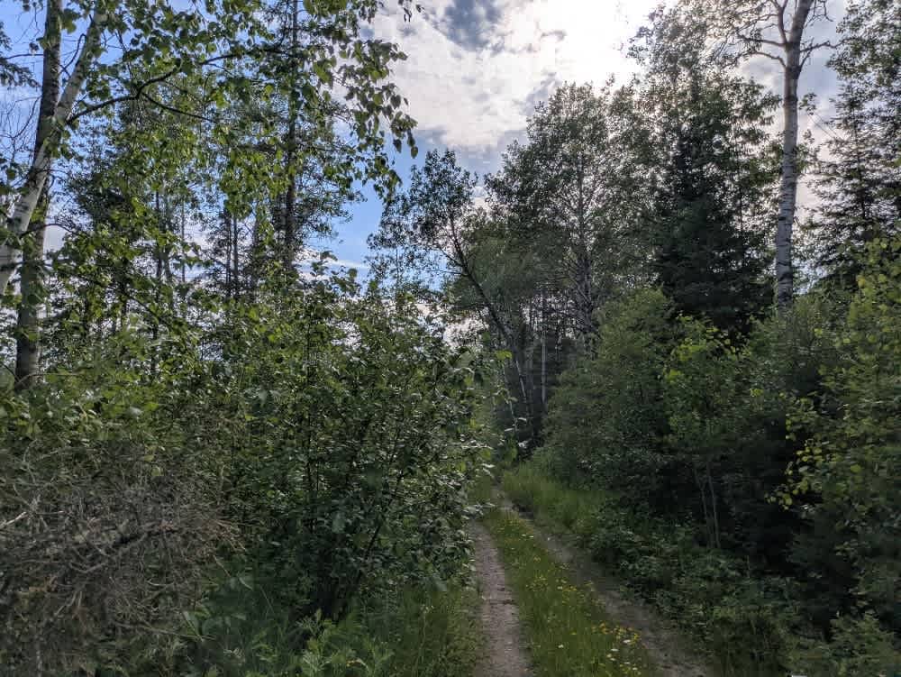
The early sections are moderately overgrown, with occasional mud, rocks, and branches that extend into the trail.
History
Superior National Forest was established in 1909 by President Theodore Roosevelt to protect the region's watersheds and natural resources after years of heavy logging and mining. The area has long been home to the Ojibwe people, who continue to maintain cultural ties to the land. In 1978, the Boundary Waters Canoe Area Wilderness within the forest was given added protection, making it one of the most visited wilderness areas in the U.S. today.
Status Reports
790 can be accessed by the following ride types:
- High-Clearance 4x4
- SUV
- SxS (60")
- ATV (50")
790 Map
Popular Trails

Fawn Creek Spur B

UPM Blandin Trail South

Country Road 158
The onX Offroad Difference
onX Offroad combines trail photos, descriptions, difficulty ratings, width restrictions, seasonality, and more in a user-friendly interface. Available on all devices, with offline access and full compatibility with CarPlay and Android Auto. Discover what you’re missing today!