3691
Total Miles
1.9
Technical Rating
Best Time
Spring, Summer, Fall, Winter
Trail Type
Full-Width Road
Accessible By
Trail Overview
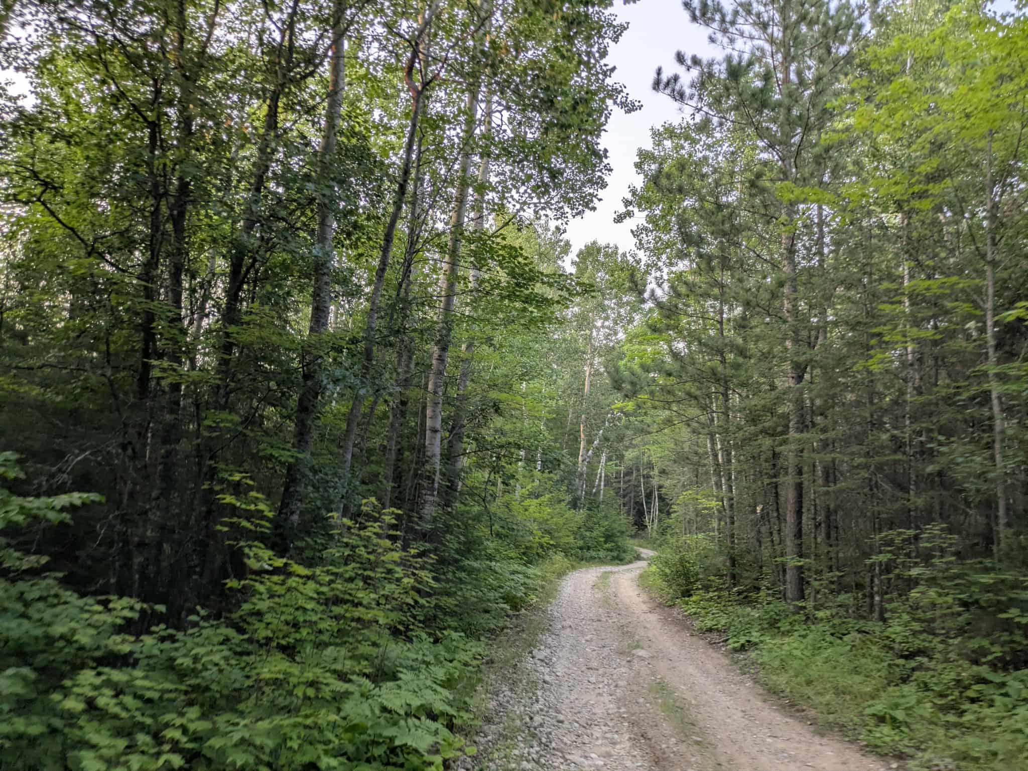
This trail begins at a paved road and transitions to a generally well-maintained gravel surface that leads to the William Narrows campsite before continuing on toward a number of private residences. Although the main route is accessible, there are sections with bumps and corrugations, likely caused by frequent local traffic. In places, the trail becomes muddy, narrow, and overgrown, with a few winding segments that require more careful driving. A number of smaller offshoot trails branch off from the main route and are better suited for exploration by ATVs. While the trail provides access to a designated campsite, it does not offer any dispersed camping options along its length. Additionally, there are no available amenities such as trash disposal or drinking water, and cell phone reception may be limited throughout the area.
Photos of 3691


Difficulty
This trail is well-maintained and regularly used by other OHV riders, road users, including residents in the area.
History
Covering more than 1.6 million acres of glacial lakes, red-pine uplands, and sphagnum bogs, Minnesota's Chippewa National Forest lets motorists experience the North Woods at an unrushed pace. Paved state highways soon yield to a lattice of numbered forest roads, most of them well-graded gravel that thread between kettle ponds and stands of towering white pine, the tree that helped earn the forest its 1908 designation as one of America's first national forests. The forest harbors one of the highest breeding densities of bald eagles in the continental United States, and patient drivers often glimpse loons, black bears, and white-tailed deer as they move from shoreline to clear-cut regrowth and back again.
Status Reports
3691 can be accessed by the following ride types:
- High-Clearance 4x4
- SUV
3691 Map
Popular Trails

Forest Service Road 199
Shuster Road

County Road 77

County Road 146
The onX Offroad Difference
onX Offroad combines trail photos, descriptions, difficulty ratings, width restrictions, seasonality, and more in a user-friendly interface. Available on all devices, with offline access and full compatibility with CarPlay and Android Auto. Discover what you’re missing today!