2971
Total Miles
1.7
Technical Rating
Best Time
Spring, Summer, Winter, Fall
Trail Type
Full-Width Road
Accessible By
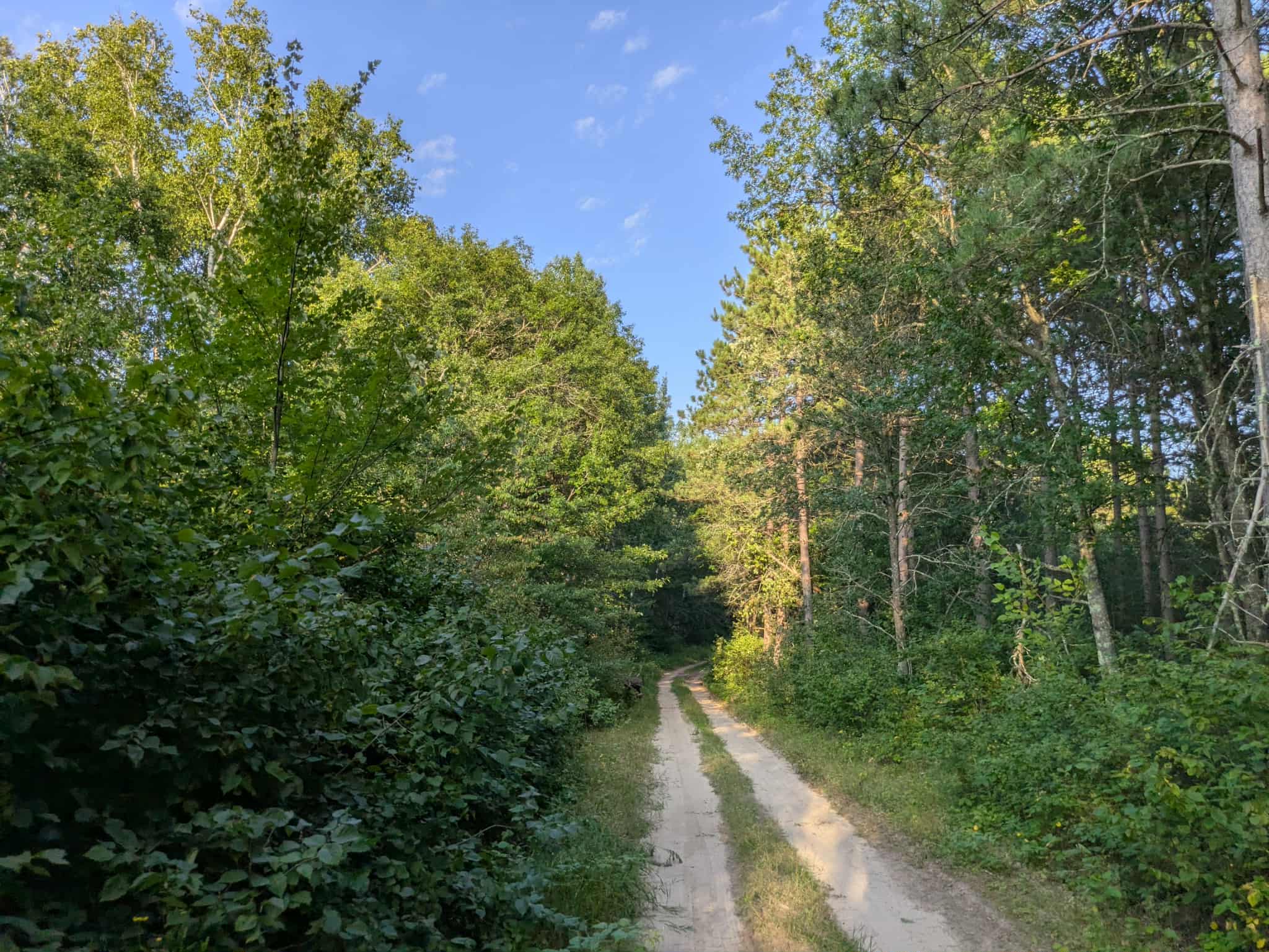
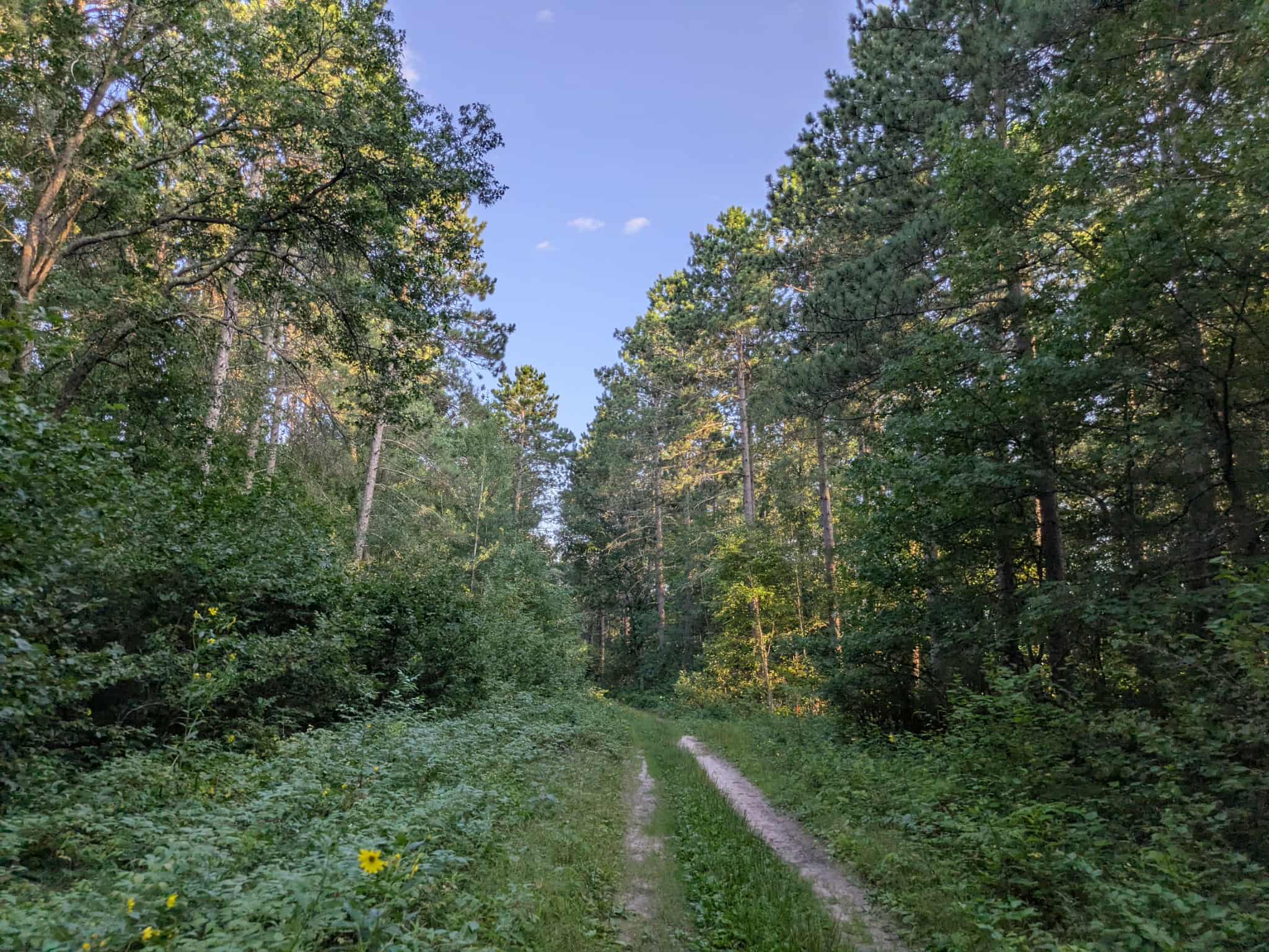
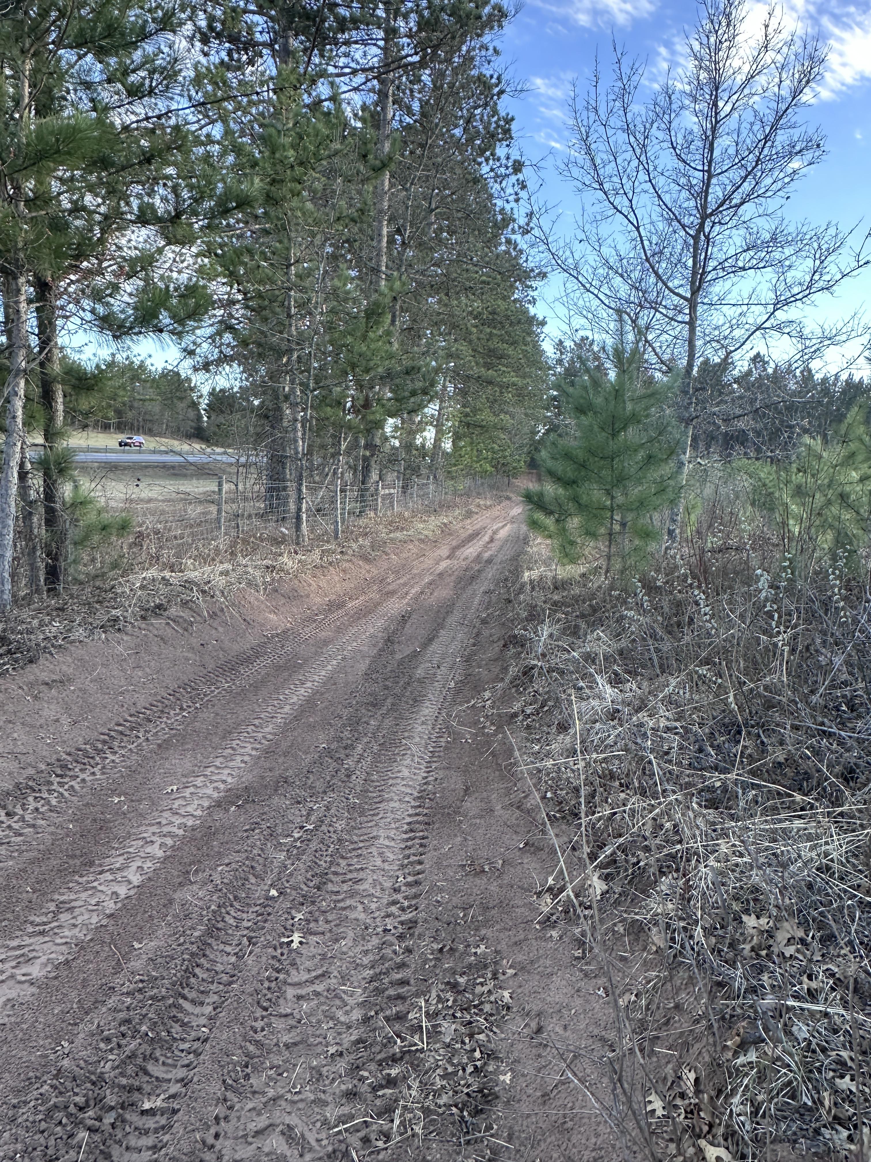
Trail Overview
This trail quickly transitions into a sandy two-track suitable for single-vehicle passage. The route runs mostly straight, with gentle ascents and descents along the way. Tall grass often grows up through the track, and sections are overgrown, with trees arching over parts of the trail. The surface is uneven in places, with potholes and low, wet spots that can become more difficult to navigate after periods of heavy rain. The area is quiet and undeveloped, with no residences nearby. One small clearing is found along the way, and another, more open clearing appears where the trail joins Converse Road, which may provide space for parking and possibly an overnight stop, though it is not a formal campsite. The trail does not offer any designated camping opportunities, and amenities such as trash disposal and potable water are not available. Cell phone reception may be unreliable, so visitors are advised to plan accordingly. Overall, this is a straightforward sandy forest track that links into several other routes, offering a quiet, natural setting with limited facilities.
Photos of 2971
Difficulty
This trail is not maintained, but intermittent use by other off-roaders keeps the forest from encroaching on it.
Status Reports
2971 can be accessed by the following ride types:
- High-Clearance 4x4
- SUV
- SxS (60")
- ATV (50")
- Dirt Bike
2971 Map
Popular Trails

Penturan Road
Freeway View Trail

County Road 80

Hillman to Onamia
The onX Offroad Difference
onX Offroad combines trail photos, descriptions, difficulty ratings, width restrictions, seasonality, and more in a user-friendly interface. Available on all devices, with offline access and full compatibility with CarPlay and Android Auto. Discover what you’re missing today!