27
Total Miles
4.9
Technical Rating
Best Time
Winter, Fall, Spring, Summer
Trail Type
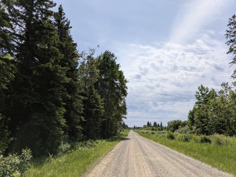
Full-Width Road
Accessible By
Trail Overview
This trail follows the edge of the National Forest and consists mostly of wide, well-maintained gravel, though some stretches are corrugated and bumpy. It passes a few farms and homesteads and crosses through a swampy area, where extra caution is advised due to the possibility of encountering local traffic. There are no designated or dispersed campsites along the route, and the trail does not offer basic services such as trash disposal or a water supply. Cell phone reception may be unreliable in certain sections.
Photos of 27

Difficulty
This trail is well-maintained and used regularly by OHV users, so be watchful of other off-roaders and adventurers.
History
Covering more than 1.6 million acres of glacial lakes, red-pine uplands, and sphagnum bogs, Minnesota's Chippewa National Forest lets motorists experience the North Woods at an unrushed pace. Paved state highways soon yield to a lattice of numbered forest roads, most of them well-graded gravel that thread between kettle ponds and stands of towering white pine, the tree that helped earn the forest its 1908 designation as one of America's first national forests. The forest harbors one of the highest breeding densities of bald eagles in the continental United States, and patient drivers often glimpse loons, black bears, and white-tailed deer as they move from shoreline to clear-cut regrowth and back again.
Status Reports
27 can be accessed by the following ride types:
- High-Clearance 4x4
- SUV
- SxS (60")
- ATV (50")
- Dirt Bike
27 Map
Popular Trails

Shoepack Lake


Barker Lake
The onX Offroad Difference
onX Offroad combines trail photos, descriptions, difficulty ratings, width restrictions, seasonality, and more in a user-friendly interface. Available on all devices, with offline access and full compatibility with CarPlay and Android Auto. Discover what you’re missing today!