1451
Total Miles
1.2
Technical Rating
Best Time
Spring, Summer, Fall, Winter
Trail Type
Full-Width Road
Accessible By
Trail Overview
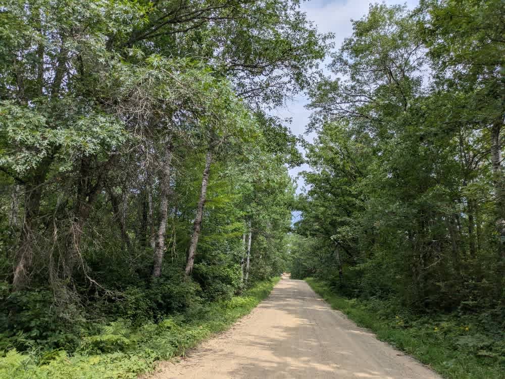
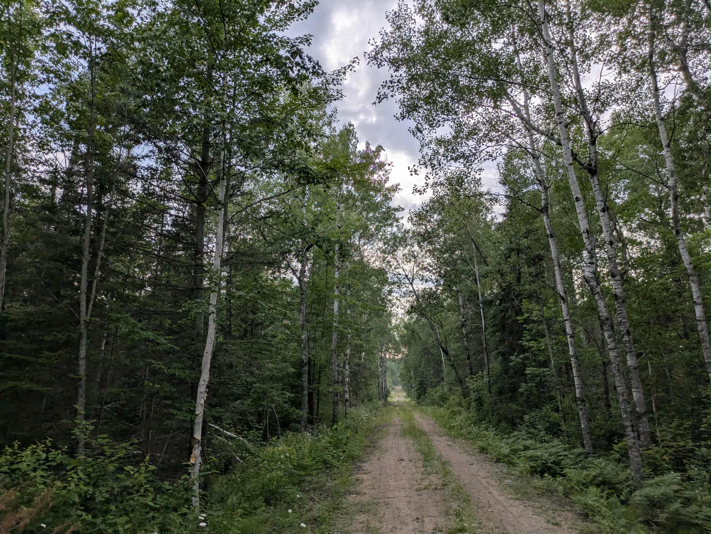
Trail 1451 begins by descending from a cleared area and follows a rough, somewhat maintained gravel path into the surrounding forest. The surface is uneven and bumpy in places, though still navigable. As the trail continues, it reaches an intersection with an open gate that leads to posted private land, while a less-traveled route veers off to the left. After passing a residence, the trail deteriorates further, with clear signs of previous logging activity. The ground becomes increasingly uneven, and the surface remains coarse and rutted. The trail eventually ends at a wide, muddy clearing that appears to have been used for staging or logging, but does not offer much in terms of appeal for stopping or camping. There are no designated or informal campsites along this trail, and it lacks any basic services. Trash disposal, potable water, and toilet facilities are not available, and cell coverage may be limited or entirely absent.
Photos of 1451


Difficulty
This forested route is lightly maintained and typically sees use during peak seasons. Expect occasional fallen limbs, narrowing sections from plant growth, and minor obstacles.
Status Reports
1451 can be accessed by the following ride types:
- High-Clearance 4x4
- SUV
- SxS (60")
- ATV (50")
1451 Map
Popular Trails
County 39 Northeast

Twisted Sister

The onX Offroad Difference
onX Offroad combines trail photos, descriptions, difficulty ratings, width restrictions, seasonality, and more in a user-friendly interface. Available on all devices, with offline access and full compatibility with CarPlay and Android Auto. Discover what you’re missing today!