2402
Total Miles
8.8
Technical Rating
Best Time
Spring, Summer, Fall, Winter
Trail Type
Full-Width Road
Accessible By
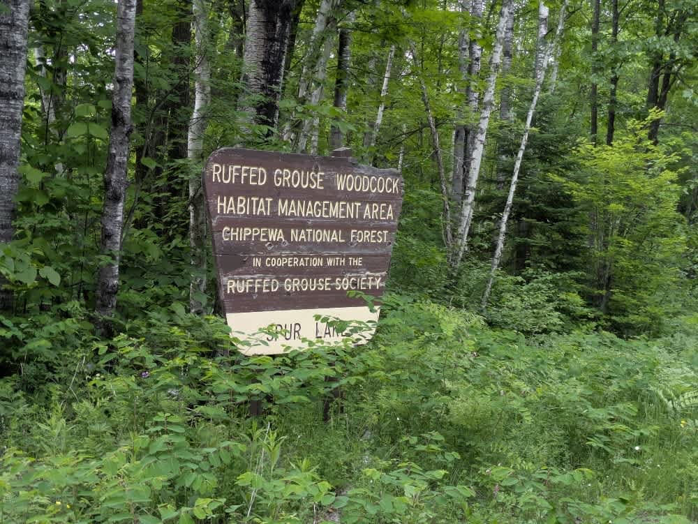
Trail Overview
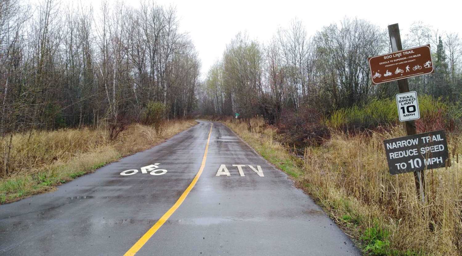
This trail begins as a wide track near Spur Lake, passing by numerous lake houses where reduced speeds are advised. As it continues, the trail narrows, becoming a minimally maintained trail, and remains in generally good condition, though there are some bumpy stretches. It crosses a wetland and winds through forested terrain, offering a mix of open and shaded sections. Designated grouse hunting areas are located along the route, and several smaller offshoot trails branch away from the main path. OHV traffic is common in the area, so stay alert while driving. The trail does not provide formal or dispersed campsites and lacks basic amenities such as trash disposal and drinking water. Cell service may be limited.
Photos of 2402

Difficulty
This trail is well-maintained and used regularly by OHV users so has some corrugation and bumpy sections.
History
Covering more than 1.6 million acres of glacial lakes, red-pine uplands, and sphagnum bogs, Minnesota's Chippewa National Forest lets motorists experience the North Woods at an unrushed pace. Paved state highways soon yield to a lattice of numbered forest roads, most of them well-graded gravel that thread between kettle ponds and stands of towering white pine, the tree that helped earn the forest its 1908 designation as one of America's first national forests. The forest harbors one of the highest breeding densities of bald eagles in the continental United States, and patient drivers often glimpse loons, black bears, and white-tailed deer as they move from shoreline to clear-cut regrowth and back again.
Status Reports
2402 can be accessed by the following ride types:
- High-Clearance 4x4
- SUV
- SxS (60")
- ATV (50")
- Dirt Bike
2402 Map
Popular Trails
Moose Lake to Nemadji


Wren Lake Loop

Twelve-Hundred Trail (SNF)
The onX Offroad Difference
onX Offroad combines trail photos, descriptions, difficulty ratings, width restrictions, seasonality, and more in a user-friendly interface. Available on all devices, with offline access and full compatibility with CarPlay and Android Auto. Discover what you’re missing today!