2104
Total Miles
3.1
Technical Rating
Best Time
Spring, Summer, Fall, Winter
Trail Type
Full-Width Road
Accessible By
Trail Overview
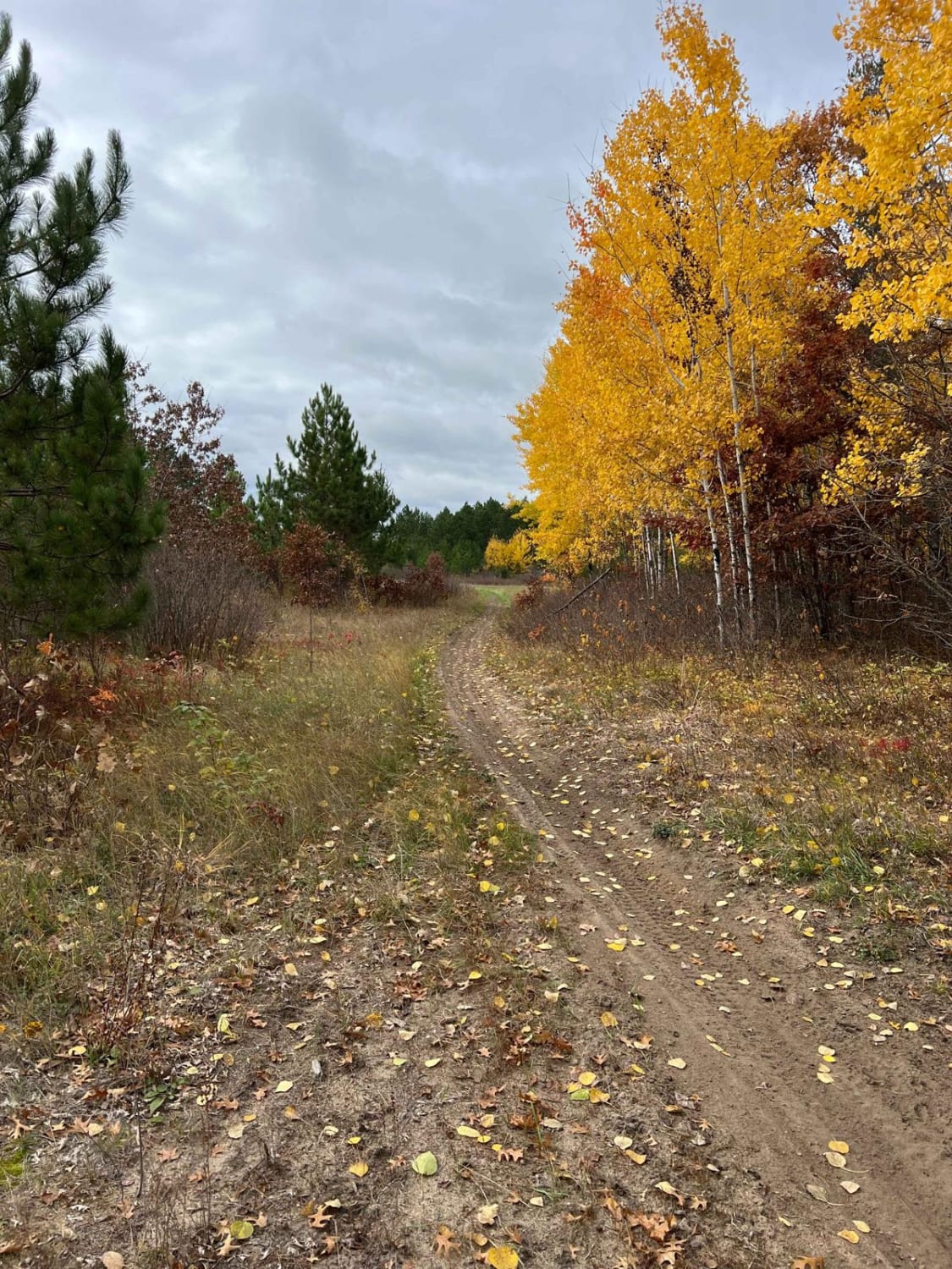
This trail begins at a junction with the main paved road and leads directly to a developed campsite, called Mable Lake. The campsite is located near a lake and offers basic amenities, including hand-pumped water and a simple ablution block. There are no trash facilities available, and an overnight stay costs $14. From the campsite, the trail continues as a wide, well-maintained route that winds through forested terrain. Although the surface is generally in good condition, there are sections with noticeable corrugation and bumps. Along the way, the trail passes by several small lakes, where ducks are often seen near the shoreline. There are a few minor offshoots branching from the main trail, which appear to see occasional use. This route eventually connects to another trail that appears to be frequented by local vehicles, much like the main trail itself. Drivers should remain vigilant for potential oncoming traffic, especially around bends and narrower segments.
Photos of 2104


Difficulty
This trail is well-maintained and regularly used by OHV users and residents who reside in the area.
History
Covering more than 1.6 million acres of glacial lakes, red-pine uplands, and sphagnum bogs, Minnesota's Chippewa National Forest lets motorists experience the North Woods at an unrushed pace. Paved state highways soon yield to a lattice of numbered forest roads, most of them well-graded gravel that thread between kettle ponds and stands of towering white pine, the tree that helped earn the forest its 1908 designation as one of America's first national forests. The forest harbors one of the highest breeding densities of bald eagles in the continental United States, and patient drivers often glimpse loons, black bears, and white-tailed deer as they move from shoreline to clear-cut regrowth and back again.
Status Reports
2104 can be accessed by the following ride types:
- High-Clearance 4x4
- SUV
- SxS (60")
- ATV (50")
2104 Map
Popular Trails

Lake Clara Spur F
Huntersville East Wooded Free for All Trail


The onX Offroad Difference
onX Offroad combines trail photos, descriptions, difficulty ratings, width restrictions, seasonality, and more in a user-friendly interface. Available on all devices, with offline access and full compatibility with CarPlay and Android Auto. Discover what you’re missing today!