Trail Overview
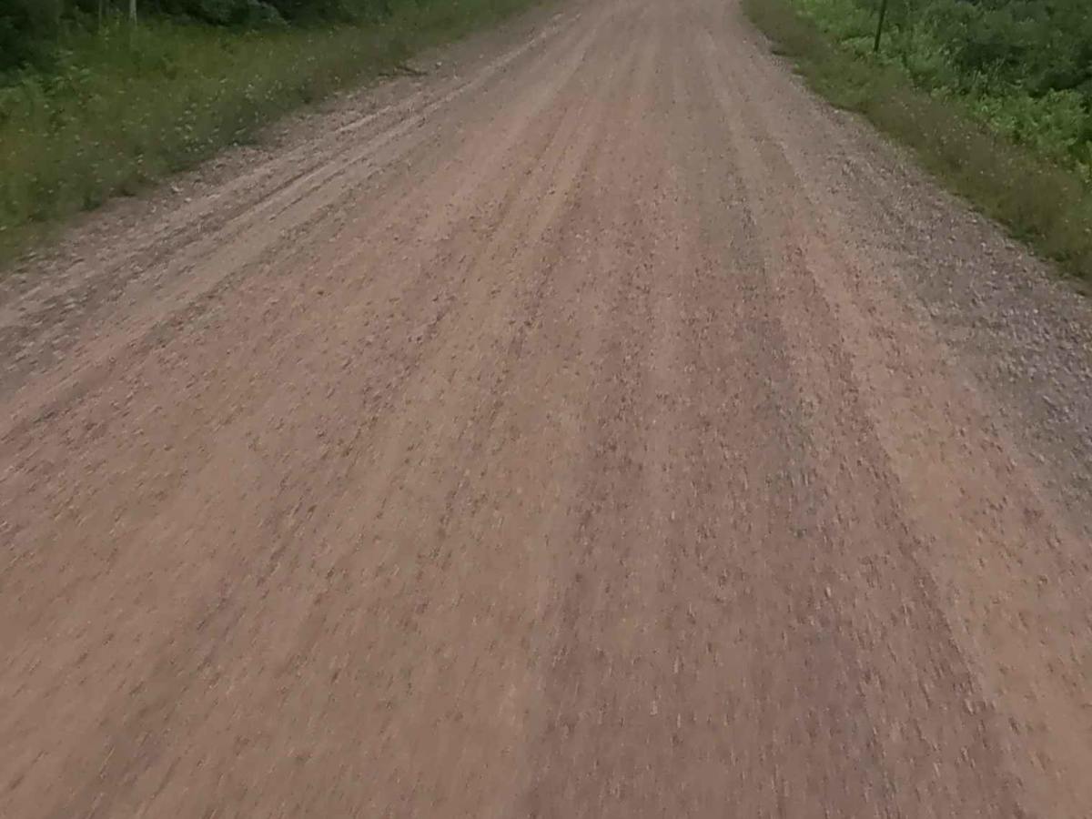
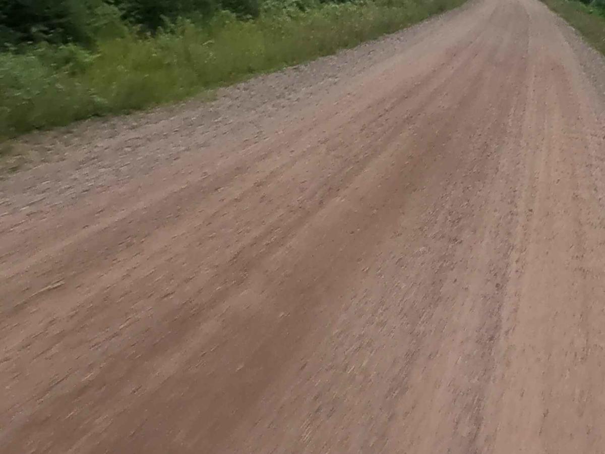
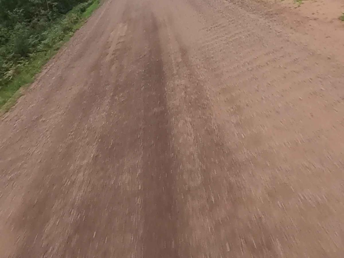
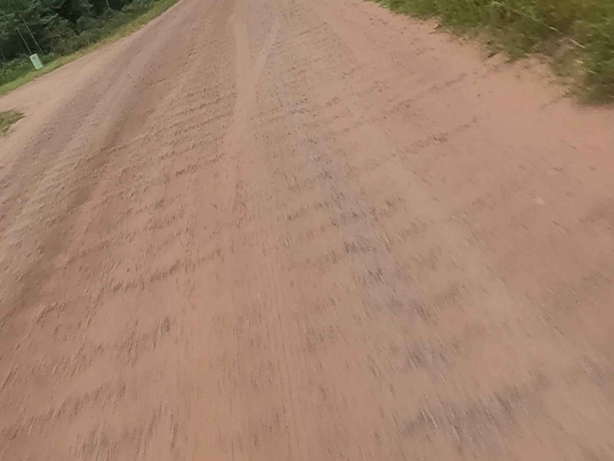
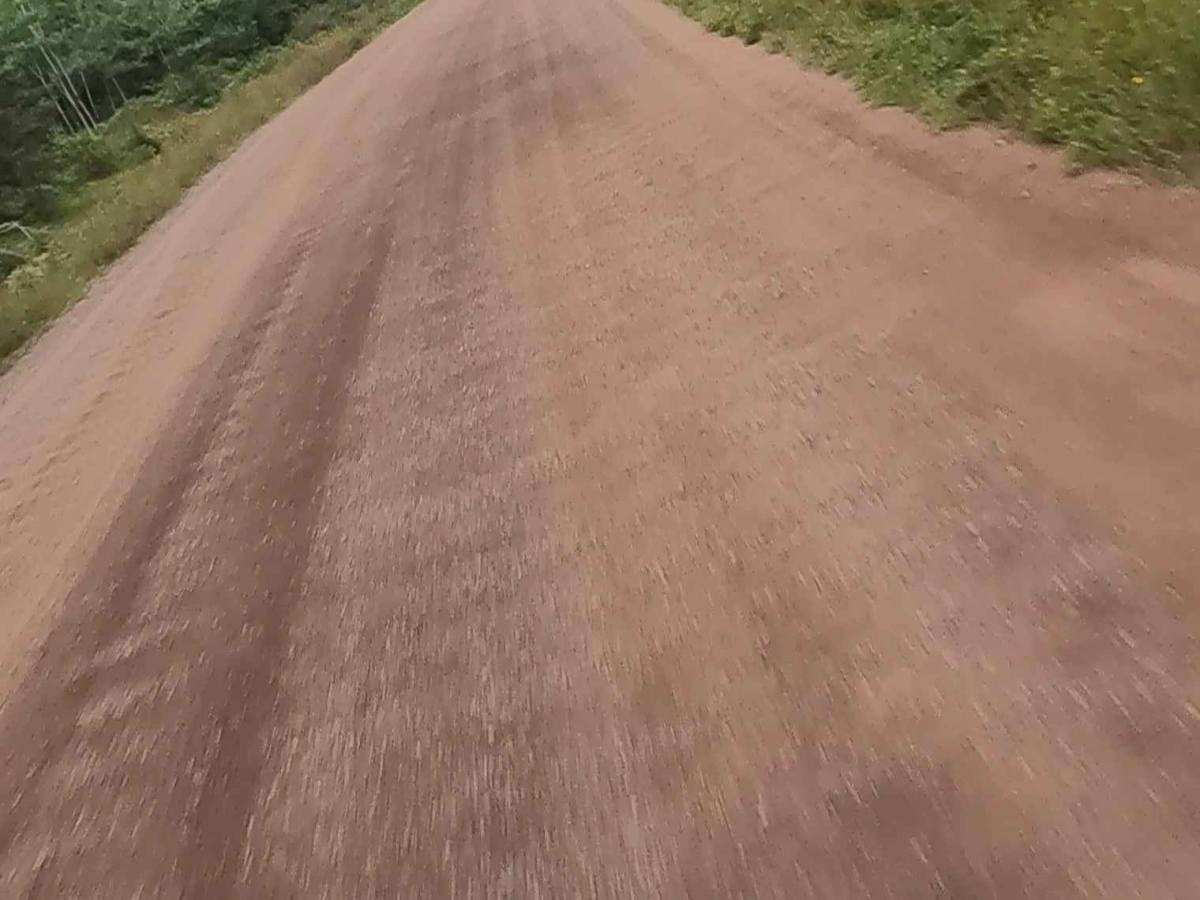
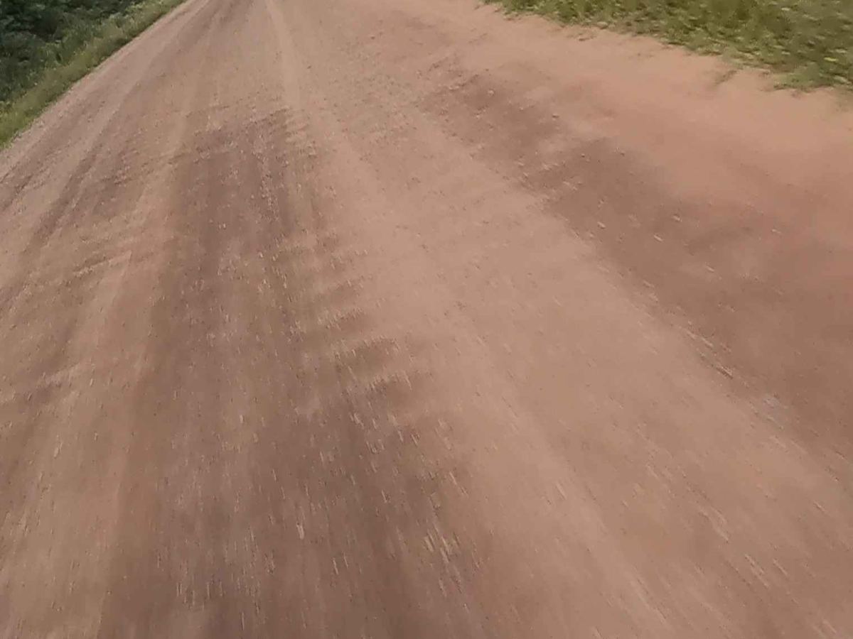
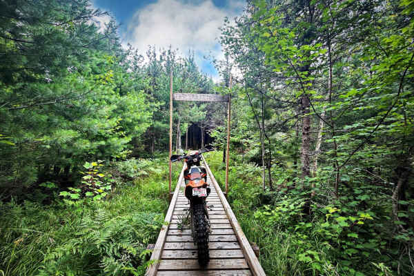
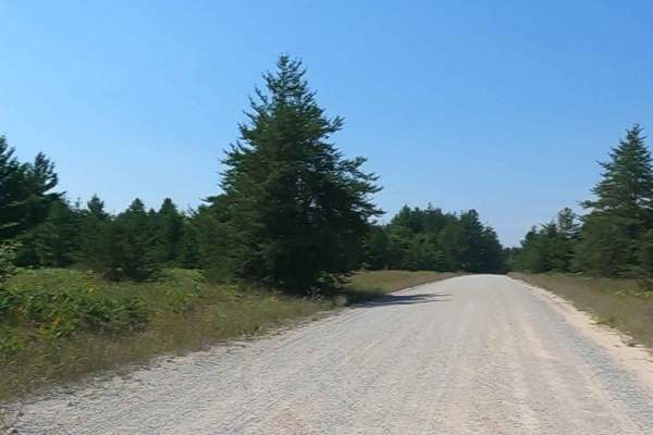
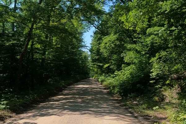
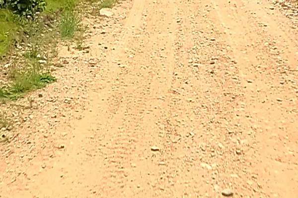
Crooked Lake Road is a non-DNR road owned by the county. The surface is composed of dirt and gravel, and the overall condition is considered fair. Since it is not a DNR road, ORV use is subject to local government laws. The road remains open under the current closure criteria. This idyllic, well-maintained seasonal road provides multiple access points to the Bass Lake Motorcycle Trail (BLM), a single-track ORV trail system. It also offers access to Pike Lake, Spring Lake, Bass Lake, and Crooked Lake.
History
Crooked Lake near Gwinn, MI is known as a significant location for the Odawa and Ojibwe people, who used its connection to the Inland Waterway and the Great Lakes for trade and safe passage. Historically, the waterway served as a crucial, safer alternative to the dangerous Lake Michigan and Lake Huron route, with the area around Crooked Lake used for portaging, fishing, and traditional ceremonies. The logging industry also relied on the lake and connected waterways to transport timber to mills in the late 1800s.
Ancient Travel Route: The Odawa and Ojibwe peoples used the connected lakes and rivers of the Inland Waterway, including Crooked Lake, to transport goods and people, especially during times when the open waters of the Great Lakes were perilous.
Portaging: The area near Petoskey was a common portage point, where canoes were carried over land to connect different waterways, such as from Round Lake to Crooked Lake.
Cultural Significance: Crooked Lake continues to hold traditional and ceremonial importance for Tribal citizens, who use it for activities like fishing, swimming, and boating.
Transportation for Mills: Before railroads, the Inland Waterway was the primary method for transporting timber from forests to lumber mills.
"Cut and Get Out": Careless logging practices in the 1870s and 1880s led to large amounts of "slashings" that, when dried, became fuel for devastating forest fires.
River Logs: Logs were cut along rivers, stored on banks in winter, and then floated into the water after the spring thaw, moving downstream to towns where they were processed into lumber and shipped via vessels on the Great Lakes.