Sunset Trail
Total Miles
17.9
Technical Rating
Best Time
Spring, Summer, Fall, Winter
Trail Type
Full-Width Road
Accessible By
Trail Overview
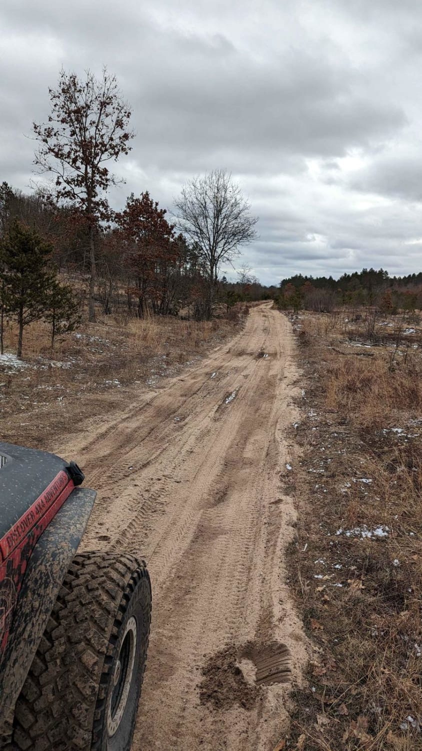
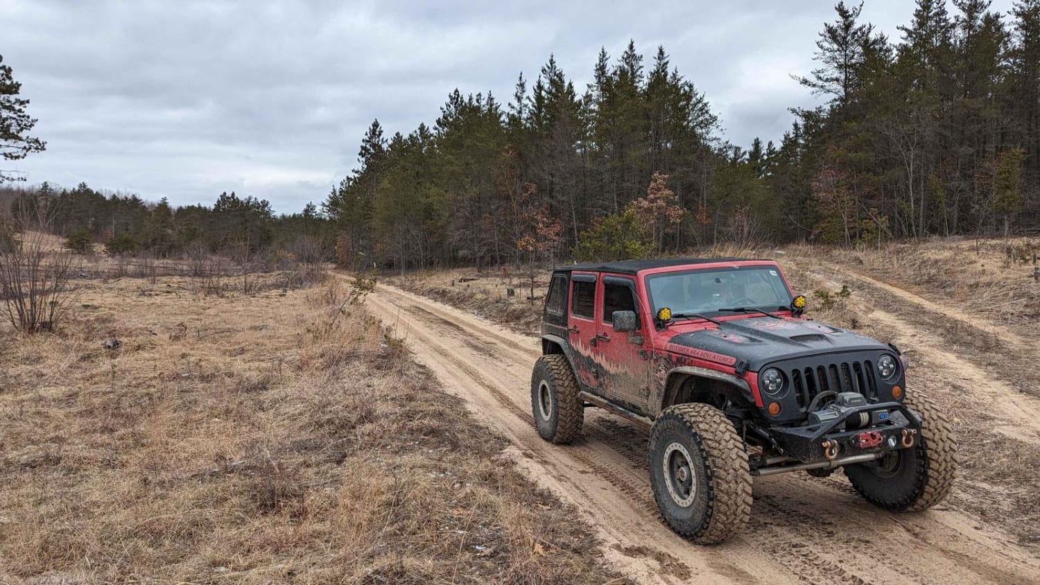
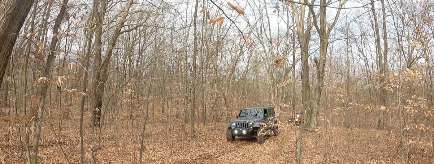
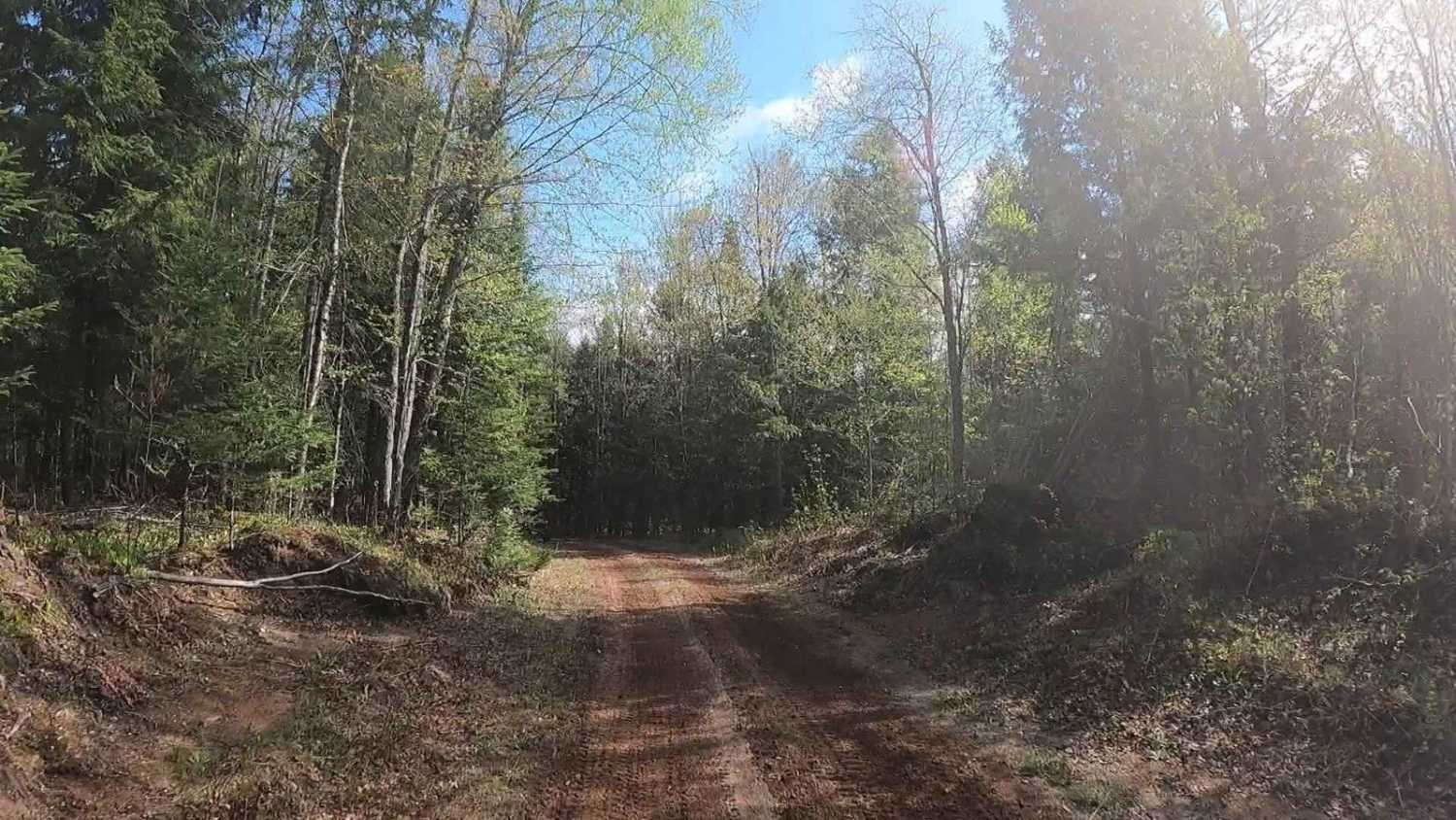
This trail is typical of Michigan dirt and sandy roads and is suitable for most vehicles. The trail runs along the Manistee River and crosses the CCC Bridge. The last mile on the south end of the trail narrows and the terrain becomes a little bit rougher, but still is passable by any high-clearance vehicle. Keep in mind that during the winter months, the trail begins and ends on snowmobile trails.
Photos of Sunset Trail
Difficulty
The last mile or so on the south end of this trail does become narrow and a little bit more rough but is still passable by any AWD high-clearance vehicle.
Sunset Trail can be accessed by the following ride types:
- High-Clearance 4x4
- SUV
- SxS (60")
- ATV (50")
- Dirt Bike
Sunset Trail Map
Popular Trails

Riverbend Trail
3 Mud Holes

Conservancy / Elliott Road
The onX Offroad Difference
onX Offroad combines trail photos, descriptions, difficulty ratings, width restrictions, seasonality, and more in a user-friendly interface. Available on all devices, with offline access and full compatibility with CarPlay and Android Auto. Discover what you’re missing today!