Narraguagus Lake
Total Miles
11.3
Technical Rating
Best Time
Spring, Summer, Fall
Trail Type
Full-Width Road
Accessible By
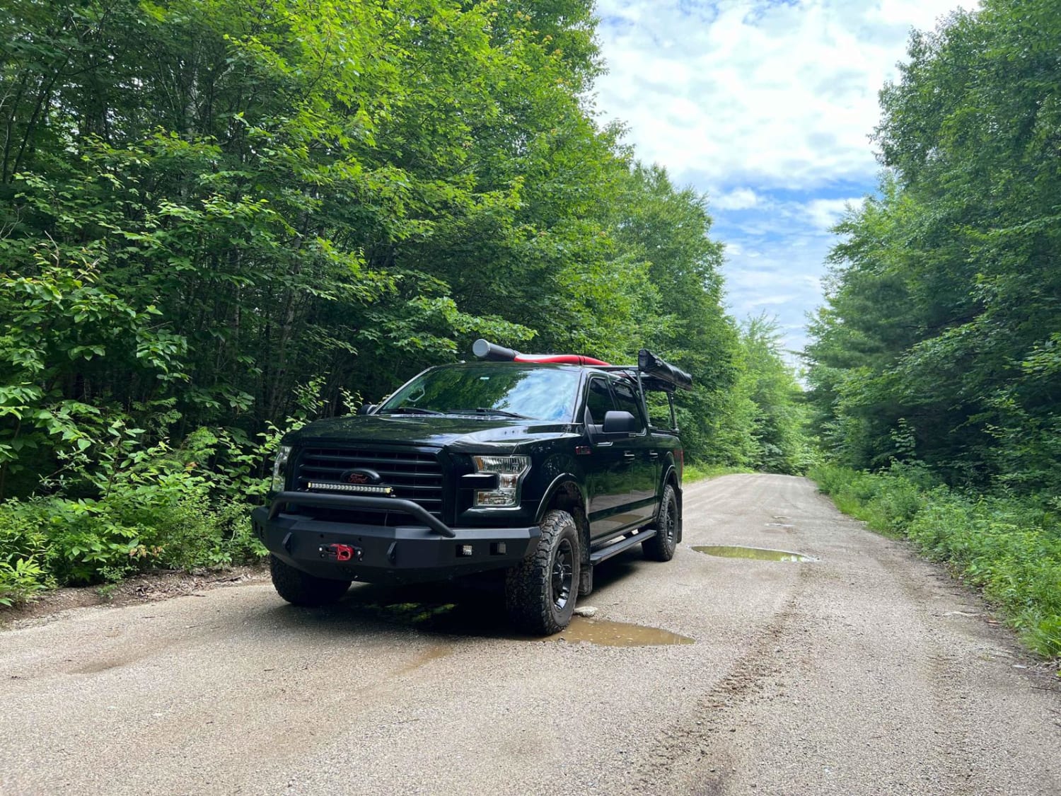
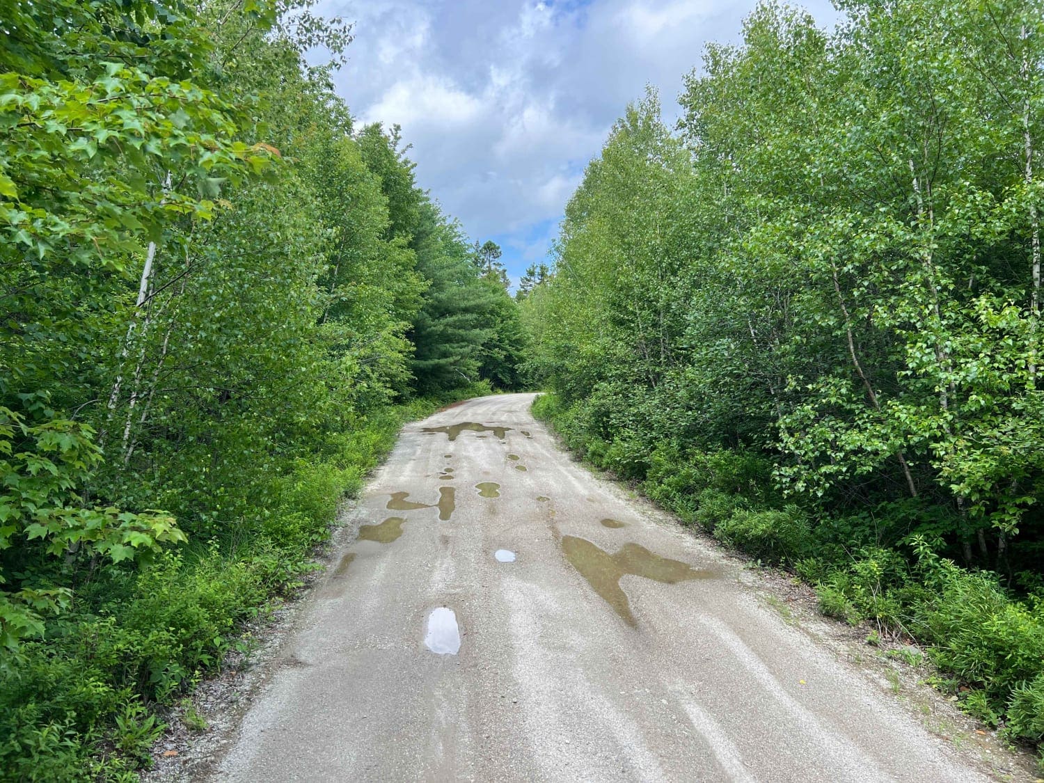
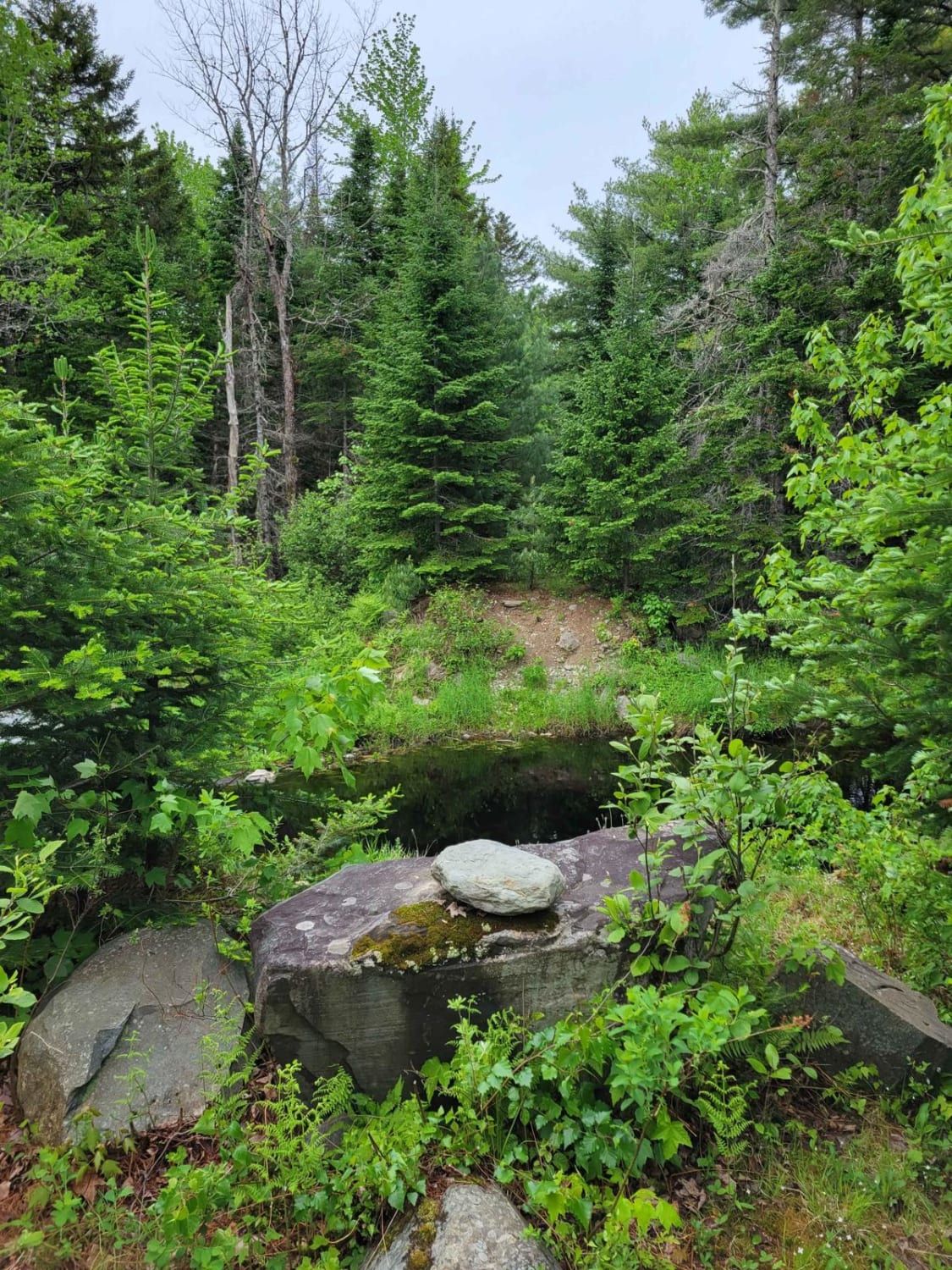
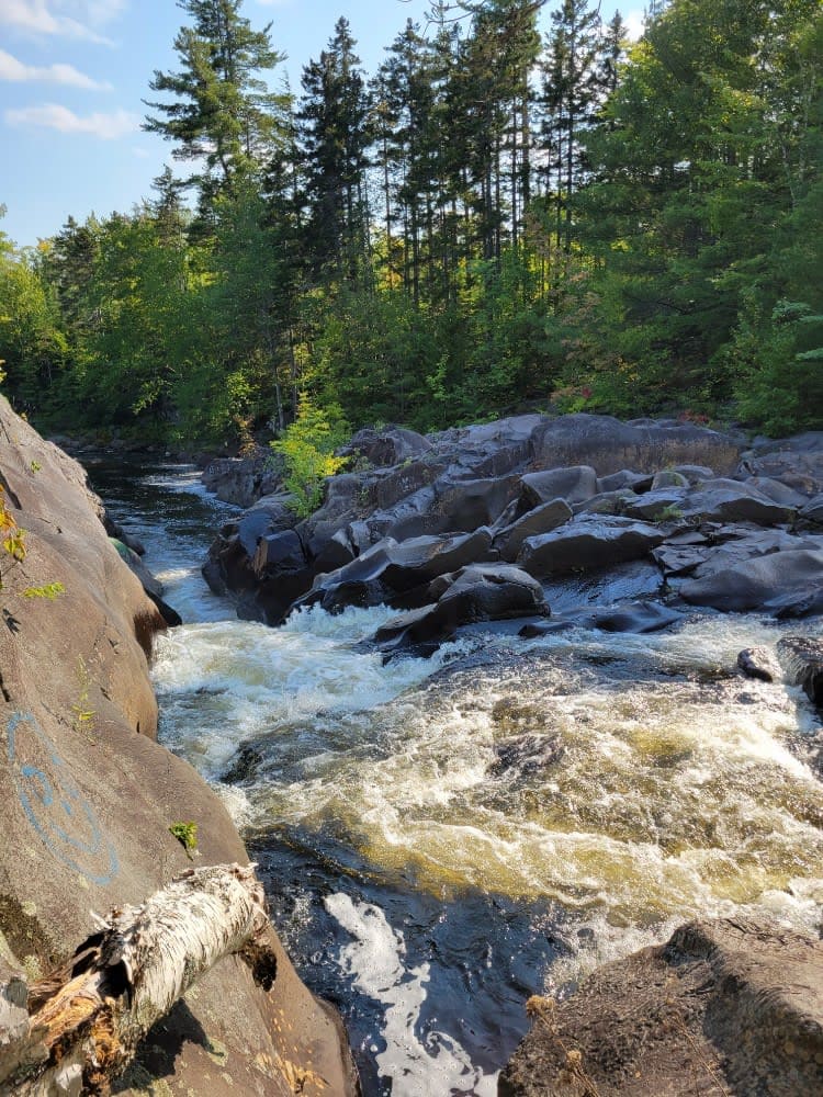
Trail Overview
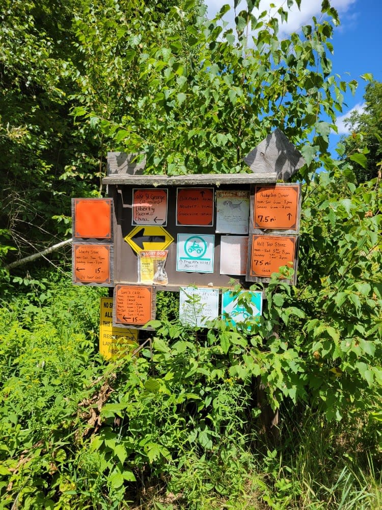
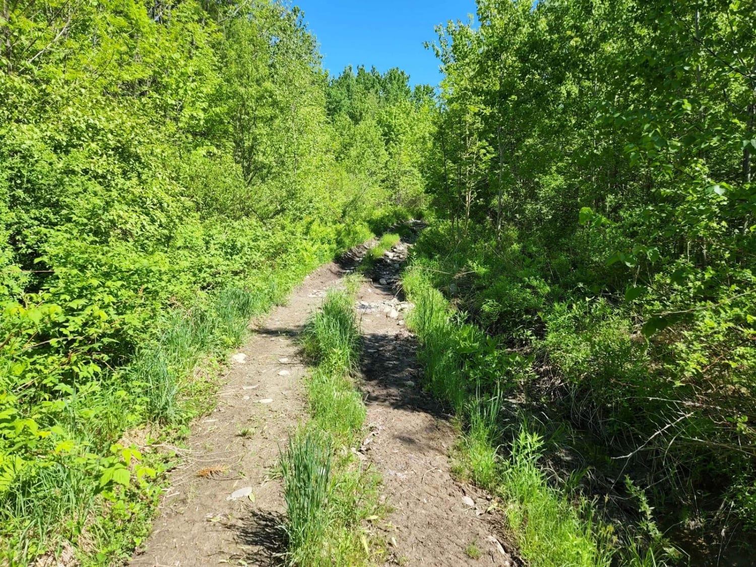
Narraguagus Lake is the beginning of a larger trail system heading northward labeled as Trail 501. This is a mostly gravel road with some soft muddy areas after rain. This reaches some remote areas of Maine and ends up below a large group of wind turbines, then continues on to South Spectacle Pond Road.
Photos of Narraguagus Lake
Difficulty
Mostly gravel road with a few muddy spots. Can be easily traveled in 4wheel drive or 2wheel drive.
Status Reports
Narraguagus Lake can be accessed by the following ride types:
- High-Clearance 4x4
- SUV
Narraguagus Lake Map
Popular Trails
Frye Mountain - High Ridge to Getchell
Buffalo Stream East
Gauntlet Falls West Trail
The onX Offroad Difference
onX Offroad combines trail photos, descriptions, difficulty ratings, width restrictions, seasonality, and more in a user-friendly interface. Available on all devices, with offline access and full compatibility with CarPlay and Android Auto. Discover what you’re missing today!