Frye Mountain - High Ridge to Getchell
Total Miles
6.3
Technical Rating
Best Time
Spring, Summer, Fall
Trail Type
Full-Width Road
Accessible By
Trail Overview
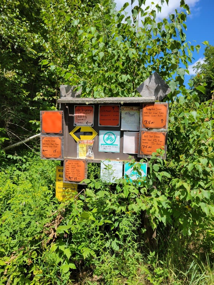
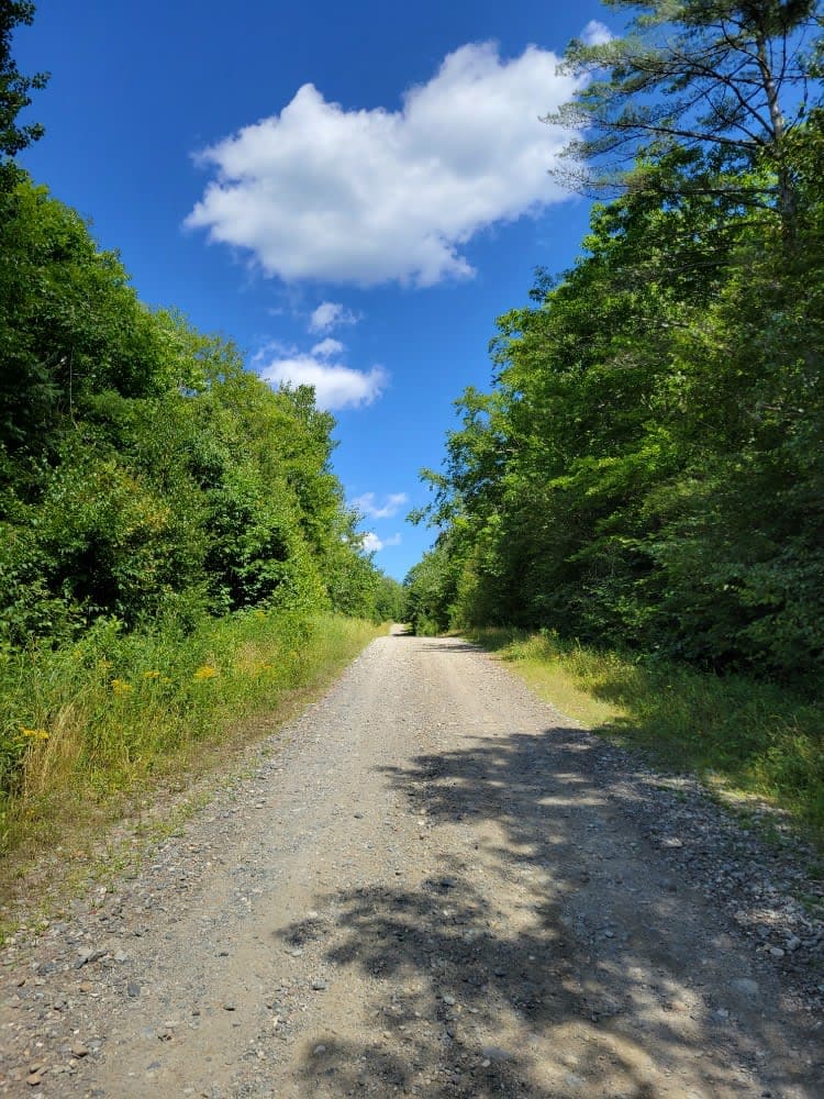
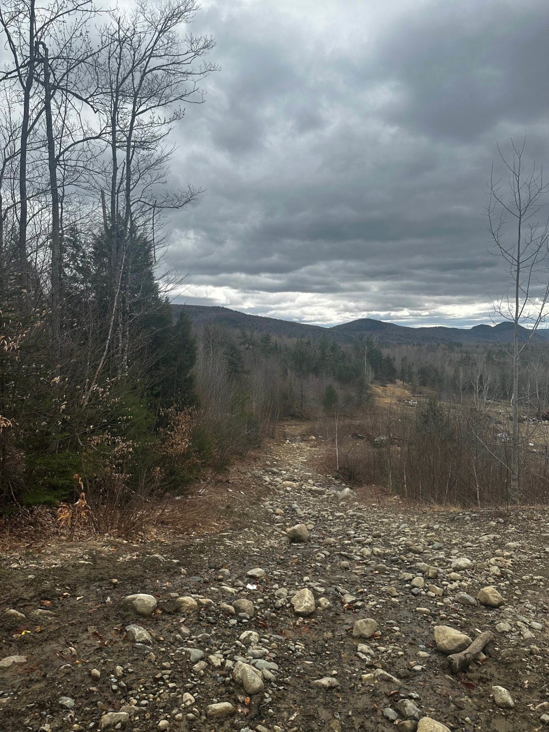
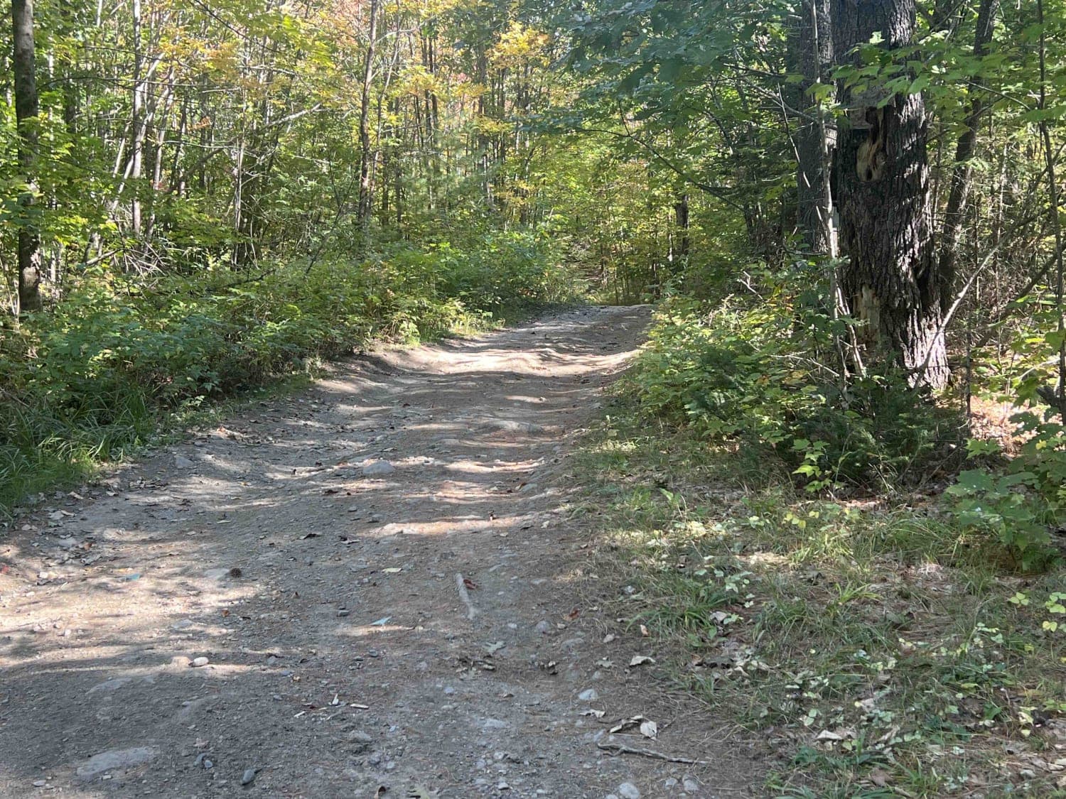
The Frye Mountain - High Ridge to Getchell trail is a West to East crossing through the Frye Mountain State Game Management Area. This trail is just over 8 miles passing by the Carter Cemetery and includes a small 3 mile (out and back) to another private Cemetery, where the trail becomes a turnaround for Jeep-sized vehicles. The Trail does offer a few additional spurs to be explored and is even more expansive for ATVs and Snowmobiles (in the winter). For hikers, this trail provides access to the footpath to Frye Mountain Peak at 1,139 feet, and multiple access points to the larger "Hills to Sea" Trail network.
Photos of Frye Mountain - High Ridge to Getchell
Difficulty
Most of this trail is comprised of gravel roads, and most is wide enough for two vehicles to pas each other. There are a few sections in the lower elevations that have the potential for road flooding.
Status Reports
Frye Mountain - High Ridge to Getchell can be accessed by the following ride types:
- High-Clearance 4x4
- SUV
- SxS (60")
- ATV (50")
- Dirt Bike
Frye Mountain - High Ridge to Getchell Map
Popular Trails
Frye Mountain - High Ridge to Getchell
Rocky Mountain Terrain Park
Zonner Road to Cliffy Jewel Pasture Road

The onX Offroad Difference
onX Offroad combines trail photos, descriptions, difficulty ratings, width restrictions, seasonality, and more in a user-friendly interface. Available on all devices, with offline access and full compatibility with CarPlay and Android Auto. Discover what you’re missing today!