Woodson Chapel Road - FS 129
Total Miles
5.2
Technical Rating
Best Time
Spring, Summer, Fall, Winter
Trail Type
Full-Width Road
Accessible By
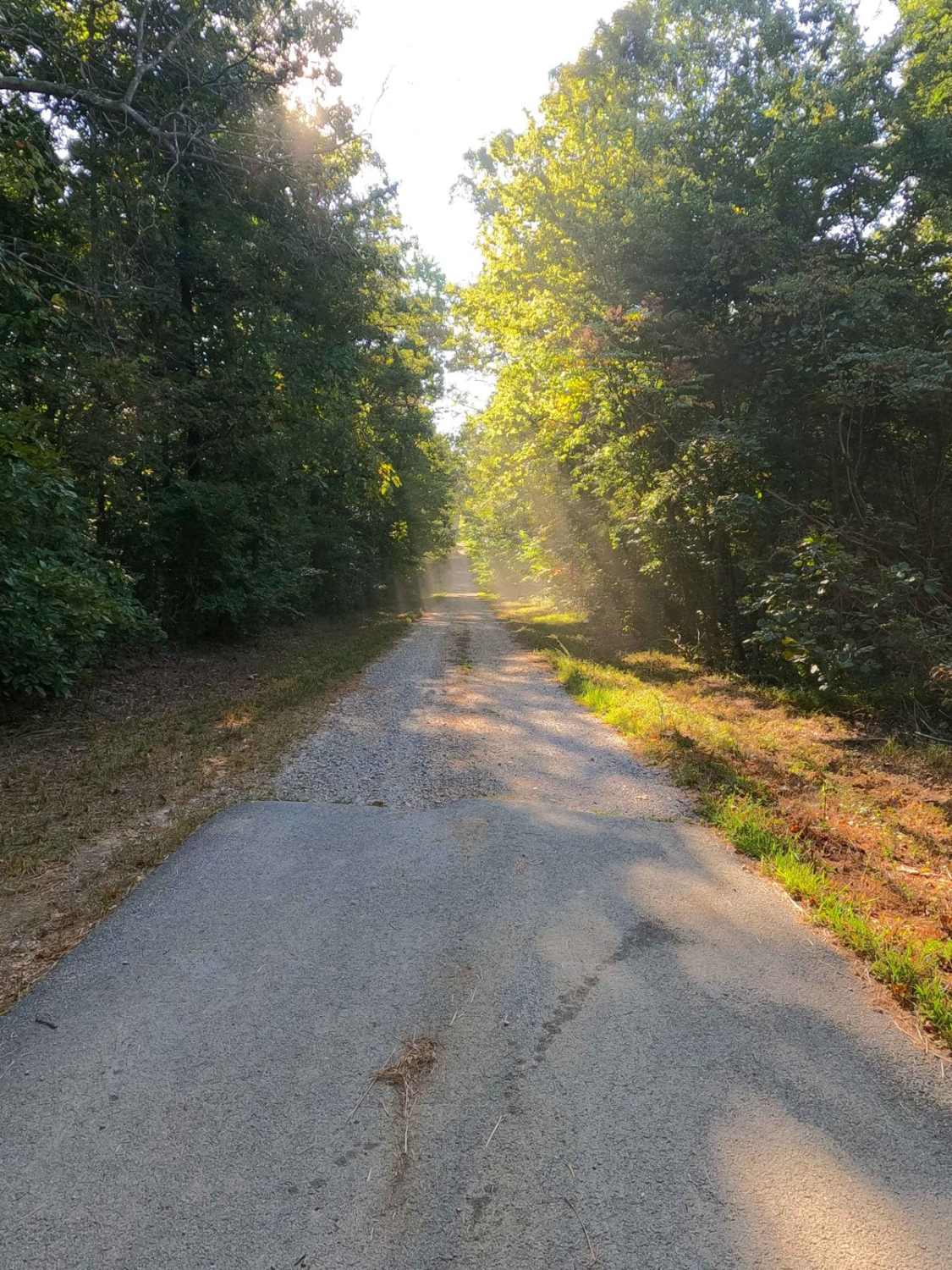
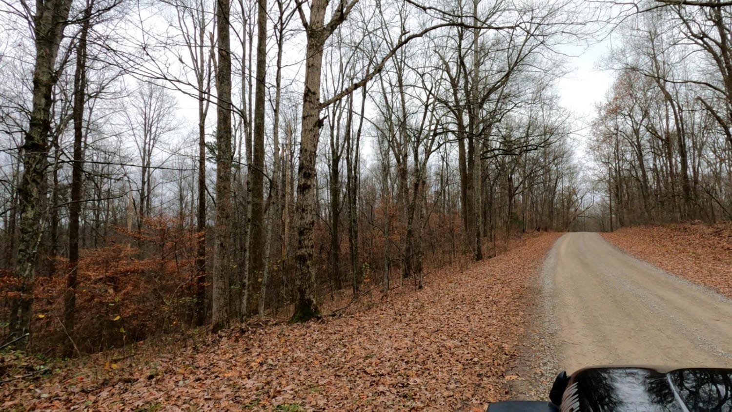
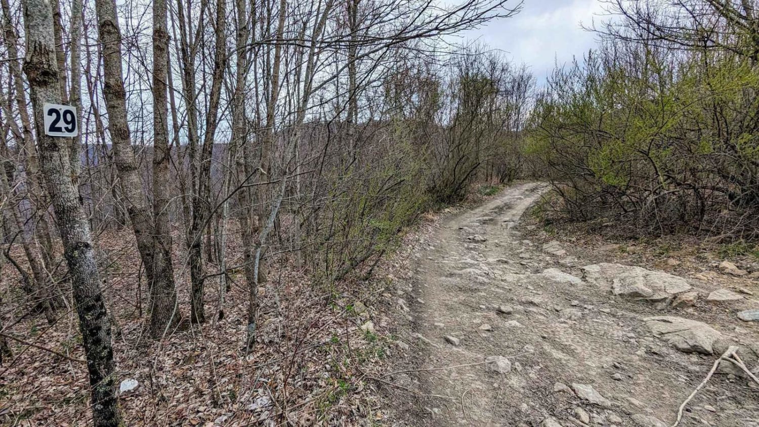
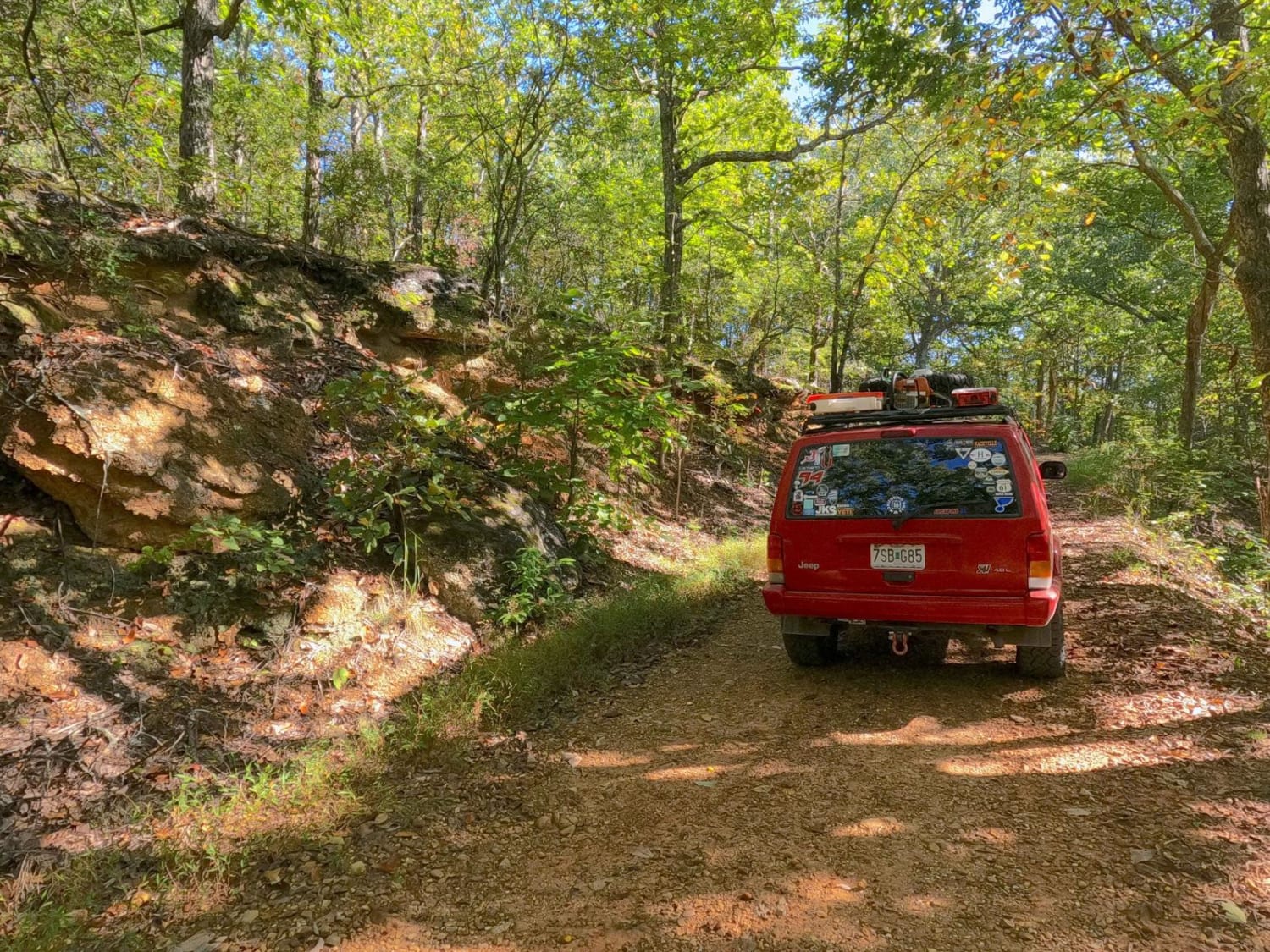
Trail Overview
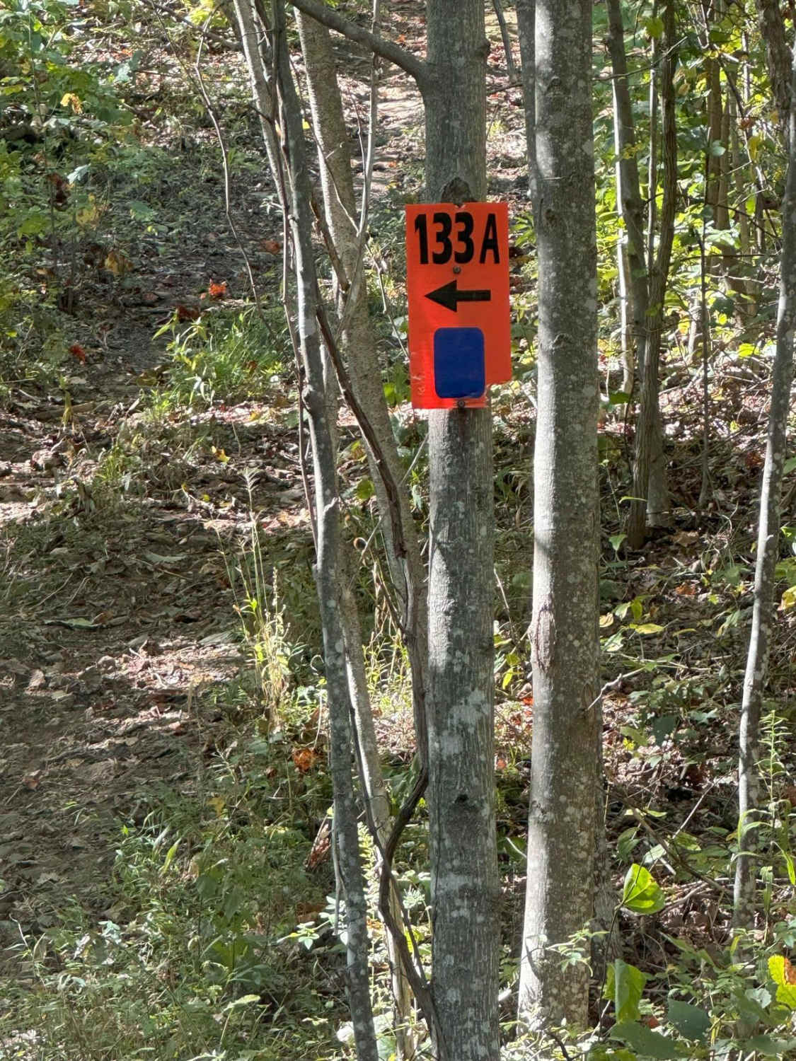
Woodson Chapel Road FS 129 is a gravel forest service road through the ridge tops of the center-east Kentucky section, Lake Barkley side, of the Land Between the Lakes National Recreation Area. This road features small rolling hills and beautiful tree lines, with minimal water collection spots on the road surface and occasional mild soft spots. The road gets its name from the former Woodson Chapel and School, and the still present Woodson Cemetery site near its eastern endpoint at 36.9497, -88.04424. The road is a logistically relevant connection to the network of other roads in the area, from the Woodland Trace Road on its western end to two other through roads, the Hematite Tower Road FS 310 and Back Mail Route Road FS 312, and one dead end road, the Green Branch Road FS 409. On the eastern end, there is also an access path down to the water's edge of Lake Barkley at Malloy Bay, featuring a camp unofficially called Carper Camp, named after the local family that has used this specific camp since the 1960s.
Photos of Woodson Chapel Road - FS 129

Difficulty
Woodson Chapel Road is a simple gravel road. Generally well maintained, it is given a base rating of 1/10, consisting of mild grades up and down the rolling hills of the area. Expect washboards, potholes, mounding of the gravel, spots where the gravel fades to dirt, and mild signs of erosion on the hills.
History
The history of the Woodson Chapel community surrounds the timber industry that went hand and hand with the iron industry in the mid to late 1800s. The community has two historical names attached to it the first and most prominent is Woodson, named after W. W. Woodson, the first Reverend of the first (log-built) chapel, and the other was Montt, named after the first postmaster of the post office in the area. The second chapel was built in 1913-1915, made of plank wood from logs provided by Reverend J. S. Richardson. Both churches also doubled as the school, it was many years before the standalone school was built. In 1935 the Kentucky school districts consolidated schools to have at minimum 50 pupils, to the south Fulton School closed, and Woodson Chapel took on some of its students, but the continued decrease in population eventually led Woodson School to close as well, before the TVA takeover. The historic plots and foundations are marked with white posts for ease of access. The school is at 36.95018, -88.04464, and the chapel is at 36.94986, -88.04302, with the cemetery in between.
Status Reports
Woodson Chapel Road - FS 129 can be accessed by the following ride types:
- High-Clearance 4x4
- SUV
Woodson Chapel Road - FS 129 Map
Popular Trails
Henry Mtn Rd
Eagle Point - FS 168
The onX Offroad Difference
onX Offroad combines trail photos, descriptions, difficulty ratings, width restrictions, seasonality, and more in a user-friendly interface. Available on all devices, with offline access and full compatibility with CarPlay and Android Auto. Discover what you’re missing today!