8 to 6 Road
Total Miles
0.9
Technical Rating
Best Time
Spring, Summer, Fall, Winter
Trail Type
Full-Width Road
Accessible By
Trail Overview
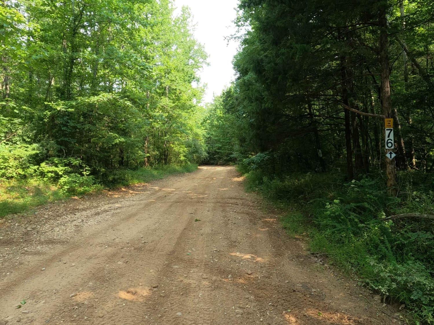
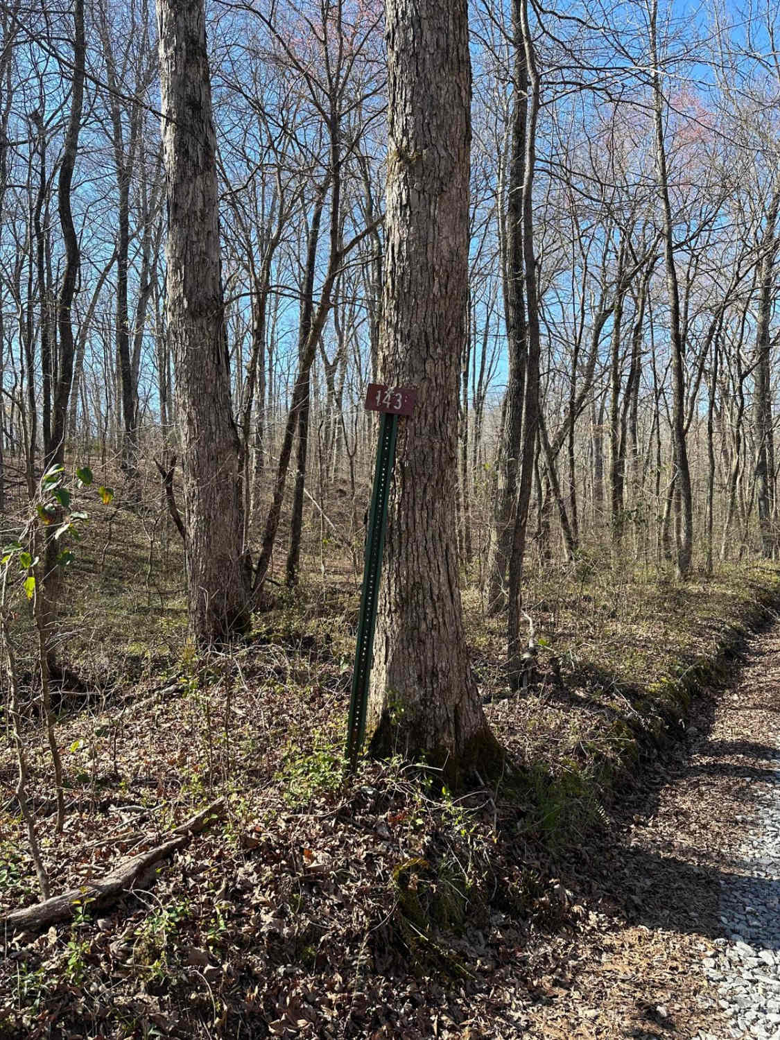
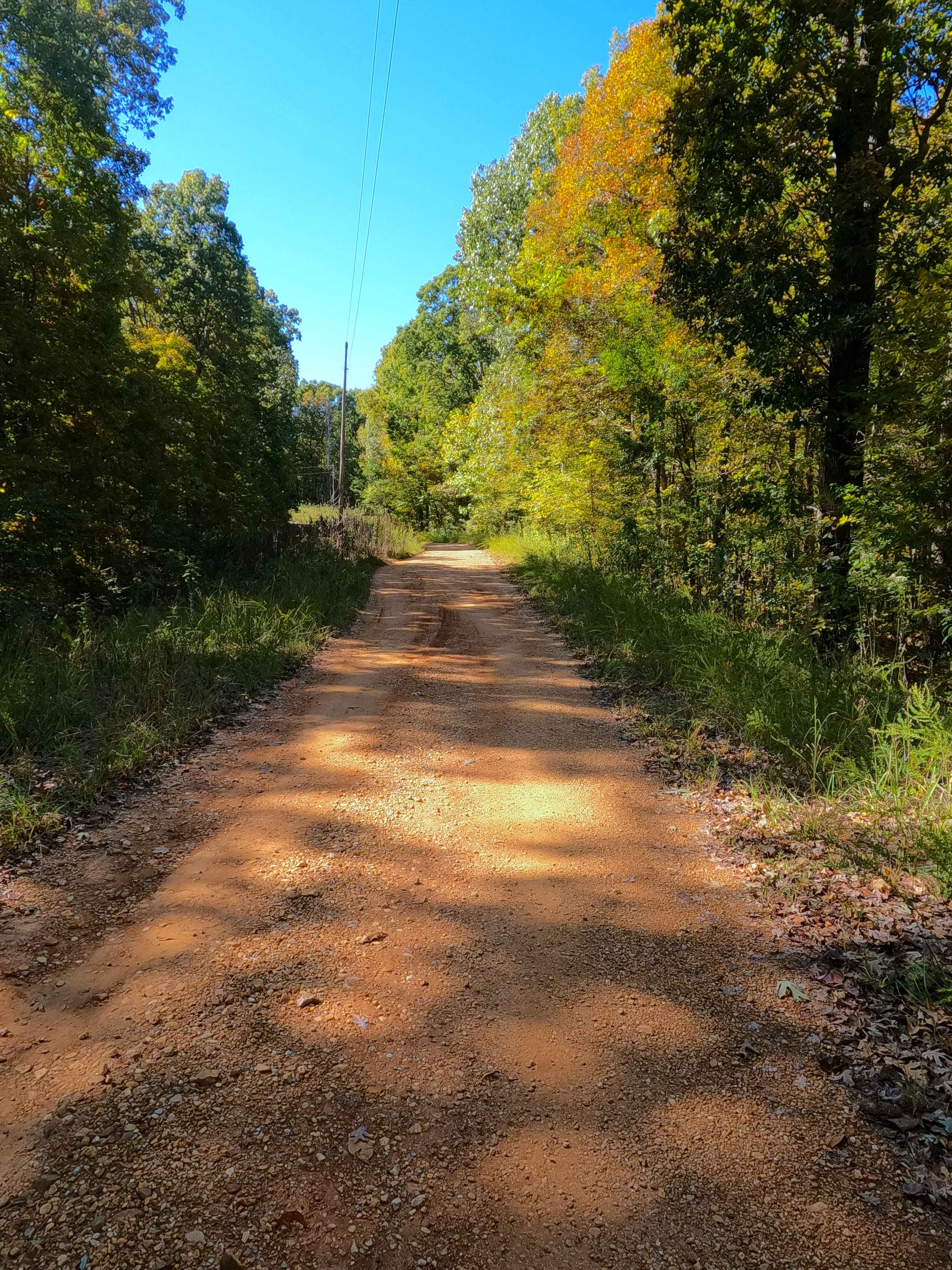
The Turkey Bay 8 to 6 Road is a generally maintained primary gravel/creek bottom road connecting point to point from the 8 intersection, passing by the 7 intersection, and going to the 6 intersection inside the Turkey Bay OHV Area, within the Land Between the Lakes National Recreation Area. Its official ID is forestry M01. This road is the prime example of a creek-bottom road, featuring dirt trails, creek gravel, mild small rocks, and sandy collection areas. The main structure of this road is the North Fork Turkey Creek, which the road crosses several times, especially towards the northern end of the trail. The 8 to 6 Road along with 9 to 8 Road leads to the northeast section of Turkey Bay, featuring the Rock Garden Trail and the 5 intersection where 4 trails meet, including the beginning of the Silo Trail.
Photos of 8 to 6 Road
Difficulty
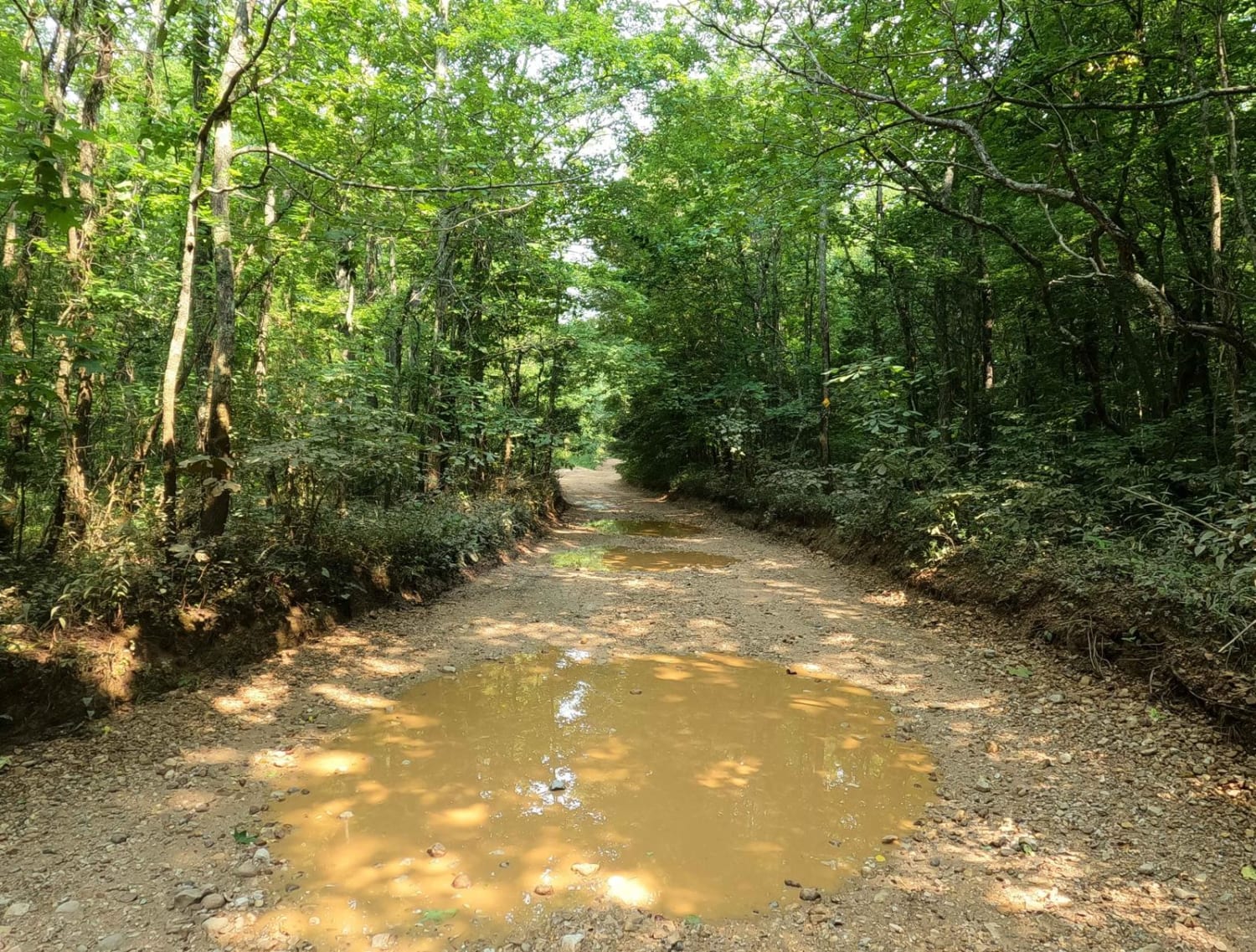
Like its precursor (9 to 8), the 8 to 6 Road's proximity to the North Fork Turkey Creek brings water into the mix of the ride, more so than the 9 to 8 Road. The water can be anywhere from 3-inch-deep scattered puddles to 18-inch deep water at the designated crossings. This is after a normal to mild rain. A significant downpour could flash flood the road, possibly as high as 2 feet in spots. Outside of the water, the road is mild, featuring medium softball-sized rocks being present at the creek crossings along with the low-water bridge blocks. Foundationally the road is made up of course creek gravel and dirt that seems to generally be maintained and smoothed out from time to time. This trail is given a base rating of 3/10 for the water collections, creek crossings, and mild bumps and dips along the way. The road could be less of a challenge in extremely dry conditions and more difficult in times of heavy rain or wet conditions. Note: stay on the path and look for the signage stating the road's boundaries.
Status Reports
8 to 6 Road can be accessed by the following ride types:
- High-Clearance 4x4
- SUV
- SxS (60")
- ATV (50")
- Dirt Bike
8 to 6 Road Map
Popular Trails

Roger's Road - FS 113
Shaw Branch - FS 154
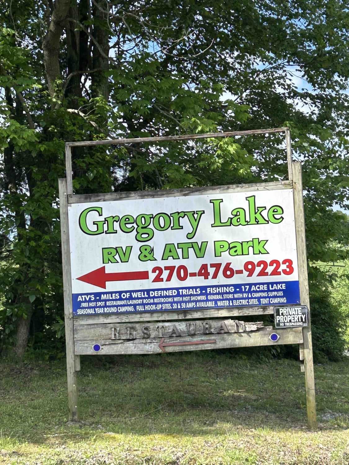
Gregory Lake West Boundary
The onX Offroad Difference
onX Offroad combines trail photos, descriptions, difficulty ratings, width restrictions, seasonality, and more in a user-friendly interface. Available on all devices, with offline access and full compatibility with CarPlay and Android Auto. Discover what you’re missing today!