Gray Cemetery Road - FS 313
Total Miles
0.7
Technical Rating
Best Time
Spring, Summer, Fall, Winter
Trail Type
Full-Width Road
Accessible By
Trail Overview
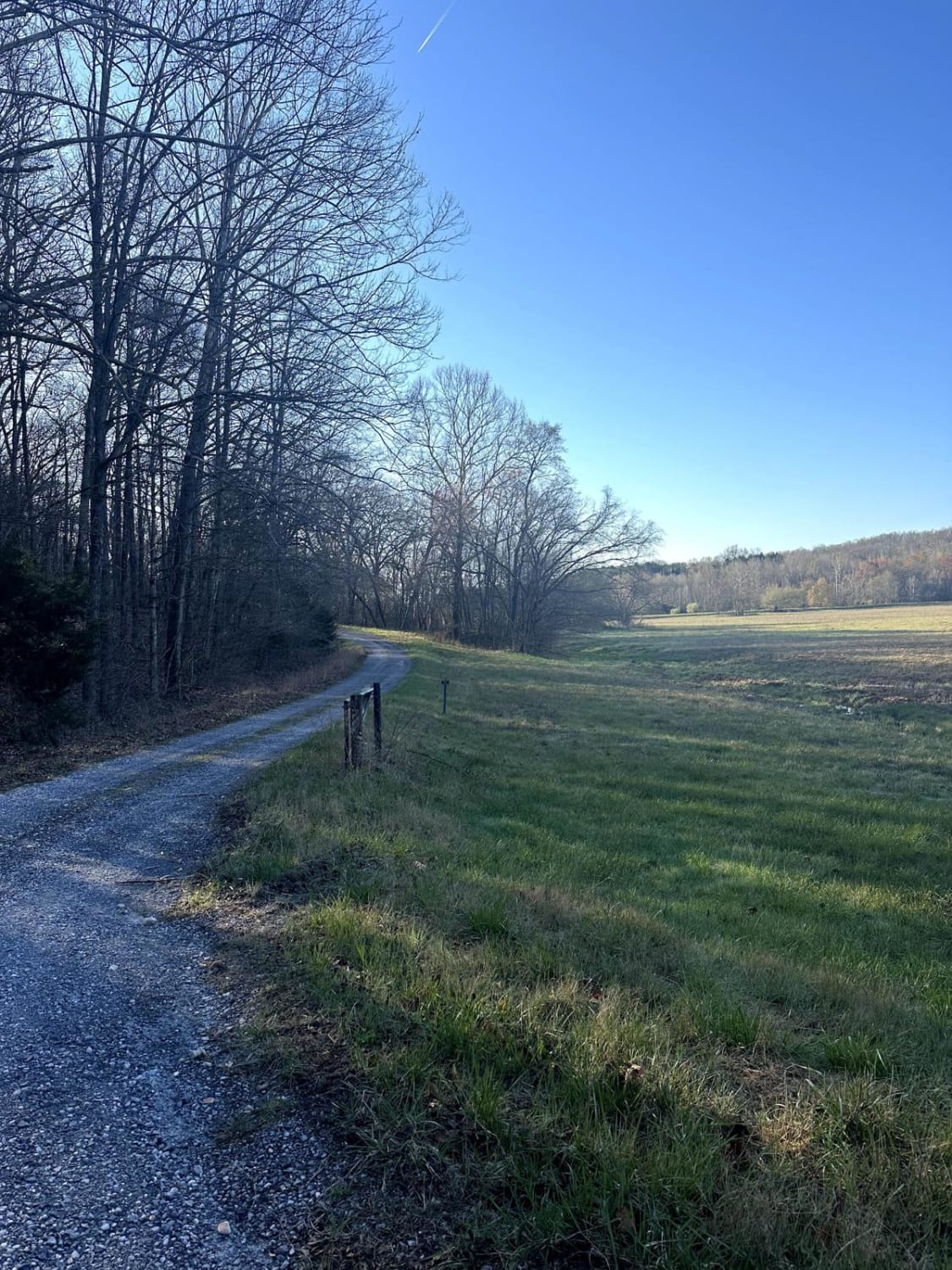
Gray Cemetery Road FS 313 is a gravel/dirt forestry road through the inland center Kentucky section of the Land Between the Lakes National Recreation Area. This road features small rolling hills and beautiful treelines, with minimal water collection spots on the road surface and occasional mild soft spots. The road ultimately serves two purposes: one is access to the Garrett Gray family cemetery at 36.92739, -88.07530, and the other is a farmer access point to the fields just south of the endpoint of the FS 313. There is a gate before the fields at 36.92707, -88.07521.
Photos of Gray Cemetery Road - FS 313
Difficulty
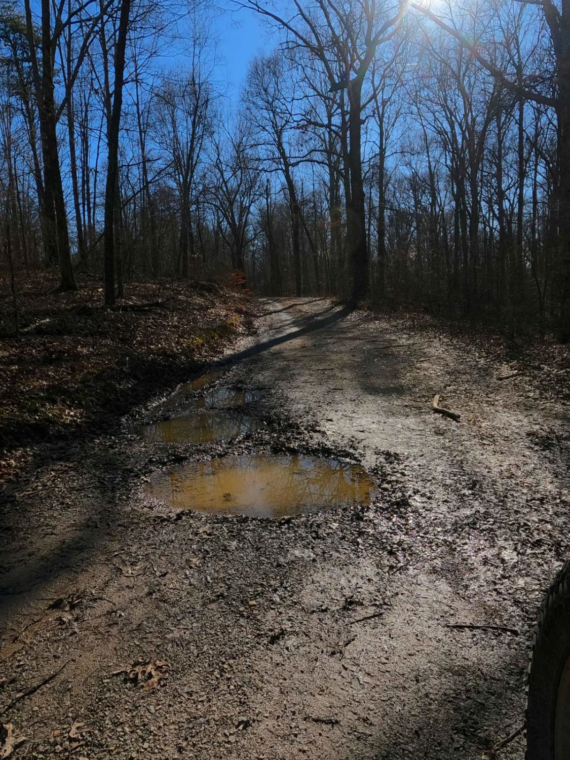
Gray Cemetery is a simple gravel road. It is generally well maintained and given a base rating of 1/10, consisting of mild grades up and down the small hills. Expect washboards, potholes, mounding of the gravel, spots where the gravel fades to dirt, and mild signs of erosion on the hills. The road could experience difficulty increases in times of heavy use, wet conditions, and inclement weather.
History
Respect those who came before us; this is the Garrett Gray Cemetery, also known as Gray Cemetery #1. Very little info outside of the name can be found online, other than the fact that there are 26 stones here marking the graves.
Status Reports
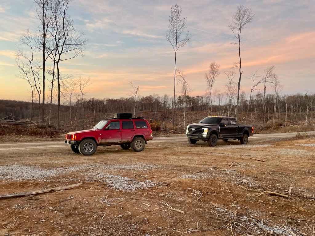
Gray Cemetery Road - FS 313 can be accessed by the following ride types:
- High-Clearance 4x4
- SUV
Gray Cemetery Road - FS 313 Map
Popular Trails

Long Creek Road

River Beach Access

Tornado Valley FSR 112
The onX Offroad Difference
onX Offroad combines trail photos, descriptions, difficulty ratings, width restrictions, seasonality, and more in a user-friendly interface. Available on all devices, with offline access and full compatibility with CarPlay and Android Auto. Discover what you’re missing today!


