F to E Road
Total Miles
0.9
Technical Rating
Best Time
Spring, Summer, Fall, Winter
Trail Type
Full-Width Road
Accessible By
Trail Overview
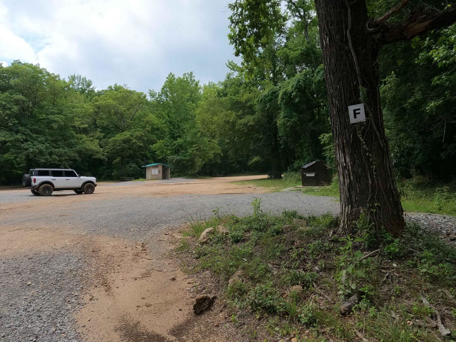
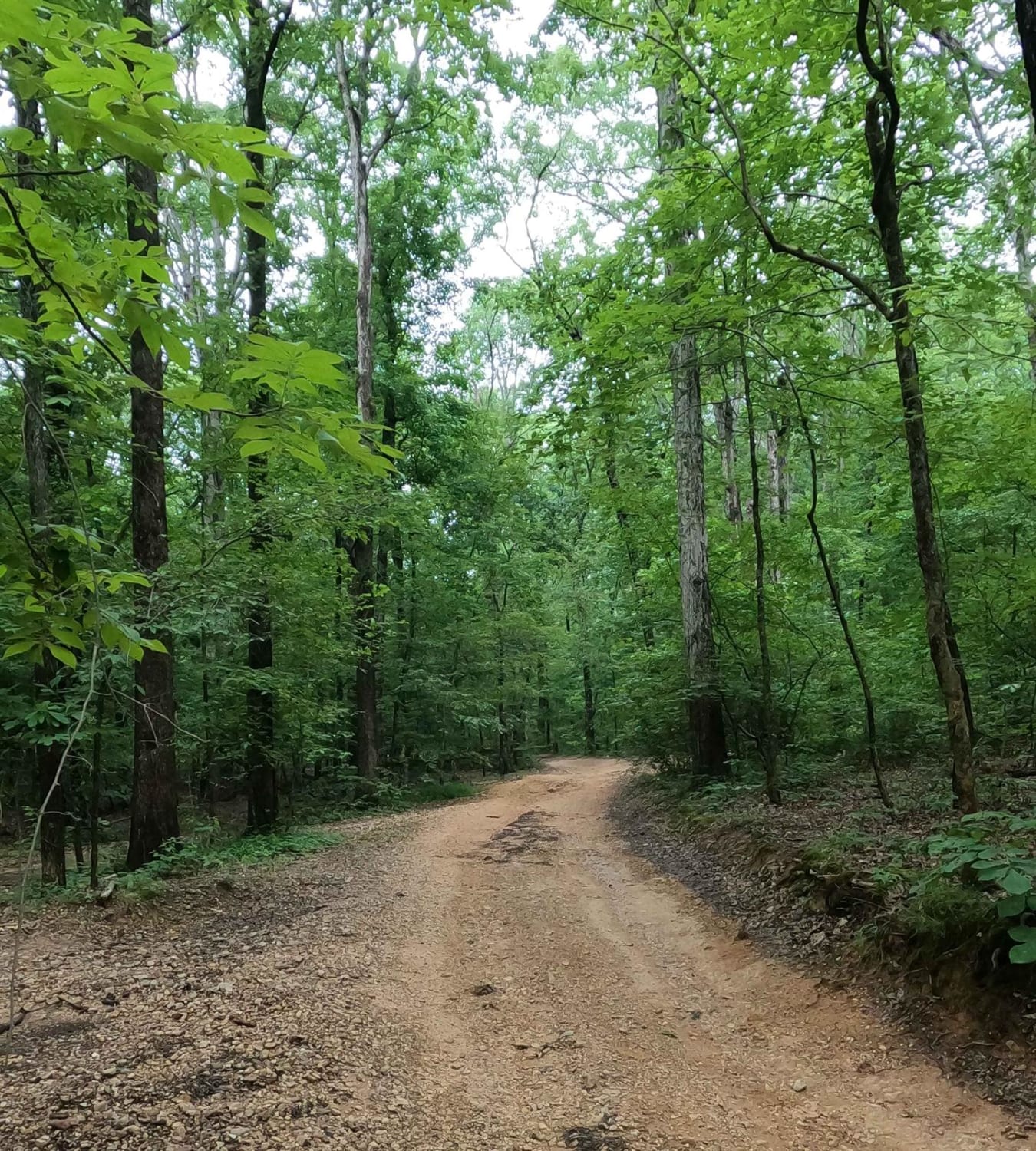
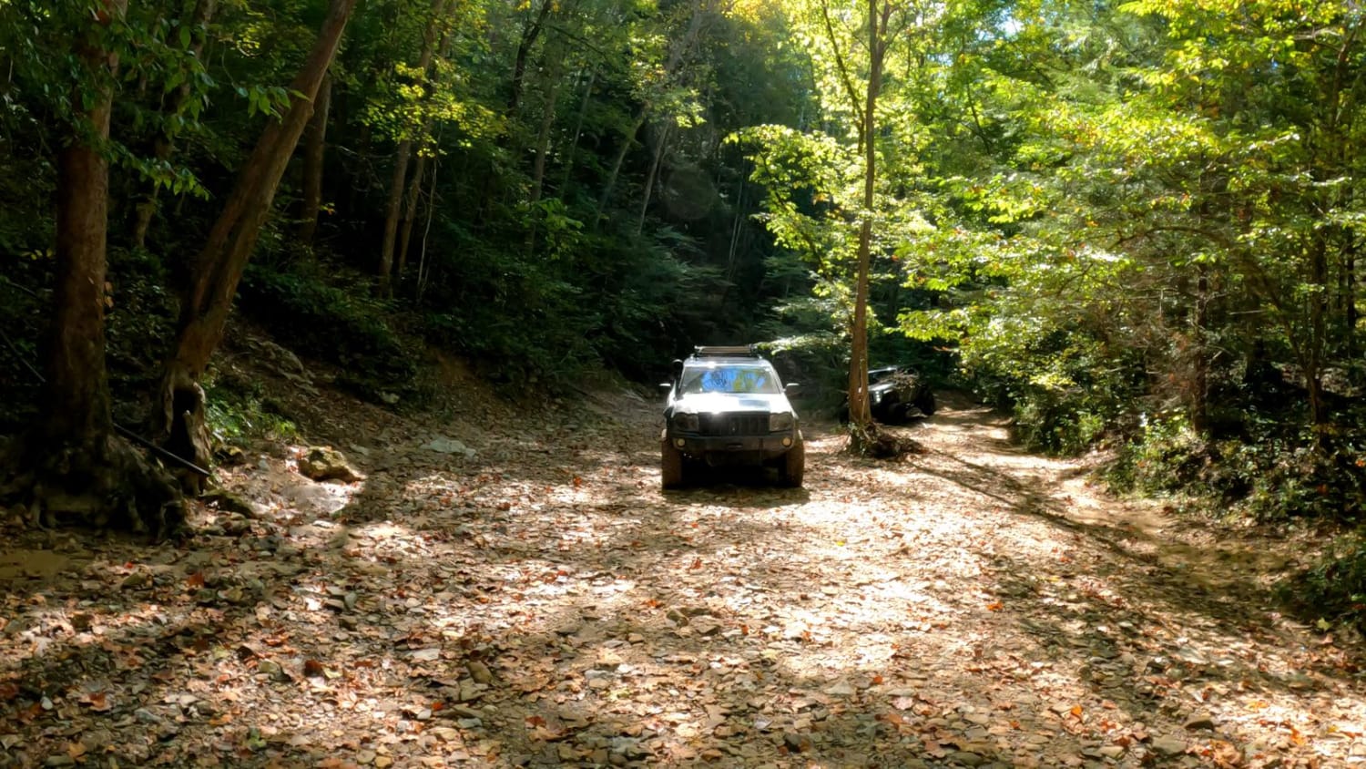
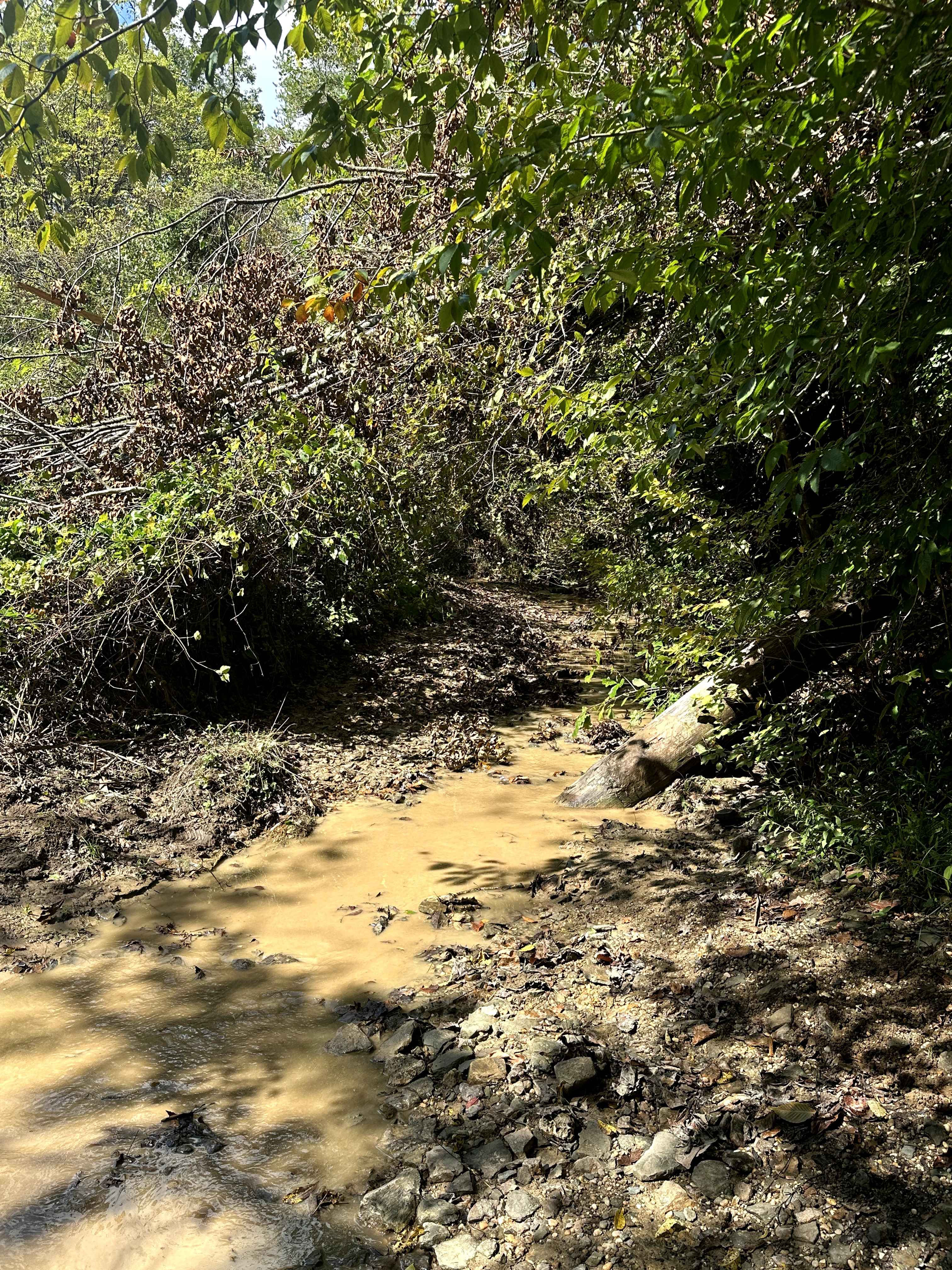
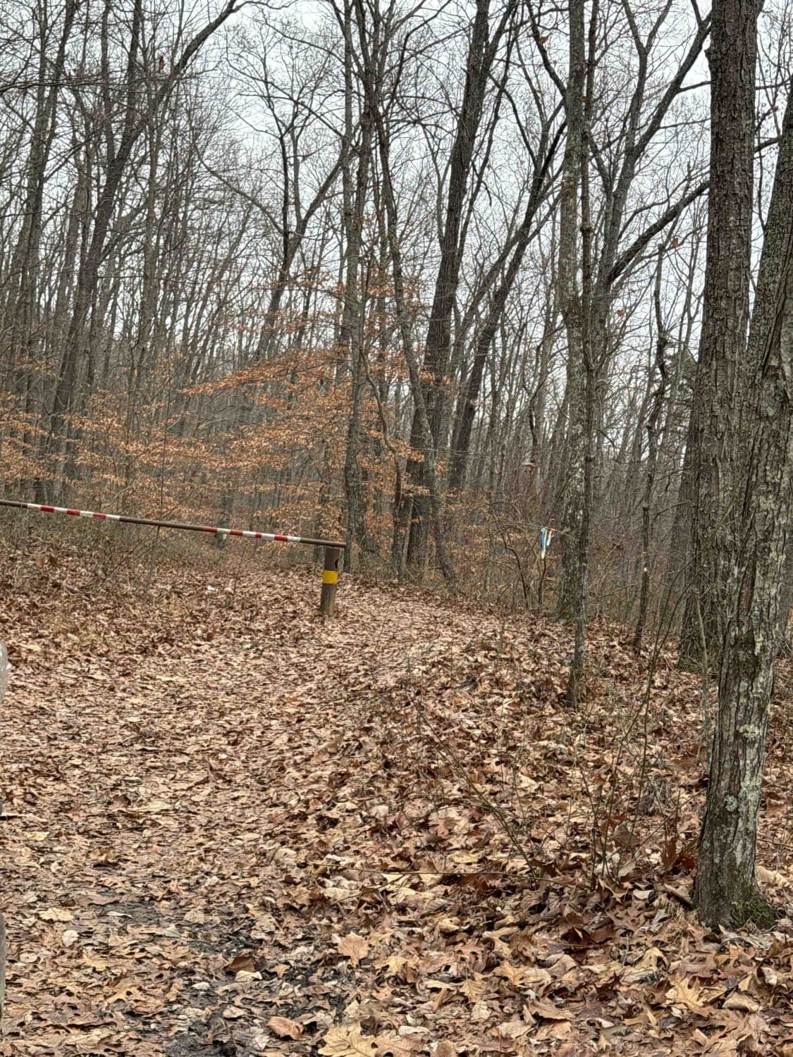
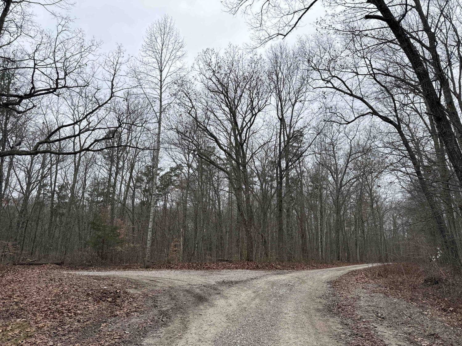
The Turkey Bay F to E Road, is a generally maintained primary gravel/dirt road connecting point to point from the F intersection to E intersection inside the Turkey Bay OHV Area, within the Land Between the Lakes National Recreation Area, it is officially IDs under part of the Forestry M02. The road starts at the Turkey Creek Road FSR 167, at the F intersection and heads North into the rolling hills of the center East section of the park to the E intersection. The road features a gravel base that fades into dirt and mud, featuring, course rock, erosion ruts and mild mounds to climb. The beginning has a creek bottom section with course gravel in the bottoms, eventually leading to a few steep grades featuring coarse gravel and moderate erosion ruts, leading to a hilltop were it snakes through some tightening tree lines overlooking the valley below. In this area, you may also encounter some mild mud holes and water collection spots. Near the northern end, the road passes a cemetery at 36.75749, -88.07624, shortly after this the road ends at the E intersection, which is a more open dirt area with scattered trees. This is a great foundational road to use to get around the park quickly. It is also a great road to aim for when using secondary routes as your end goal or starting point. Quickest route out of the park from here is using the FSR 167 heading east from F intersection.
Photos of F to E Road
Difficulty
Though the road has sections that are maintained very well, due to the shear use of the road, and rain water erosion, the road can become rough in use and in times of heavily wet conditions. The ruts on this road easily are 6" in depth but can range up to 18". There is also a few small creek crossings along the way with an average depth of 6"-12". There are also a few wet spots and mud holes on the hilltop that are anywhere from 6" to 18" in depth, but can generally be bypassed. There is also one moderately steep grade that you have to climb midway through. All this said, the trail is given a base rating on 3/10, but in wet conditions, could be amplified to a higher difficulty, and in perfect maintained conditions could be less difficult.
Status Reports
F to E Road can be accessed by the following ride types:
- High-Clearance 4x4
- SUV
- SxS (60")
- ATV (50")
- Dirt Bike
F to E Road Map
Popular Trails
Sinking Creek
County Park Road
S-Tree Road (FSR 20-1)
Tussey Hill Road
The onX Offroad Difference
onX Offroad combines trail photos, descriptions, difficulty ratings, width restrictions, seasonality, and more in a user-friendly interface. Available on all devices, with offline access and full compatibility with CarPlay and Android Auto. Discover what you’re missing today!