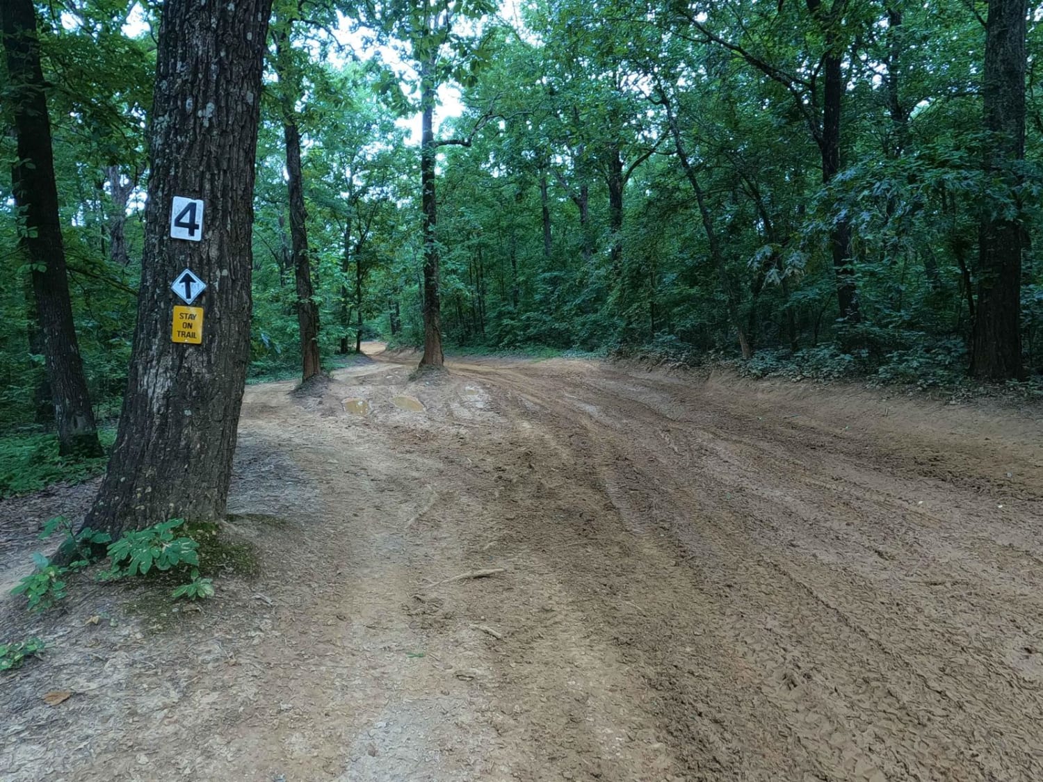
5 to 4 Road
Total Miles
1.3
Technical Rating
Best Time
Summer, Spring, Fall, Winter
Trail Type
Full-Width Road
Accessible By
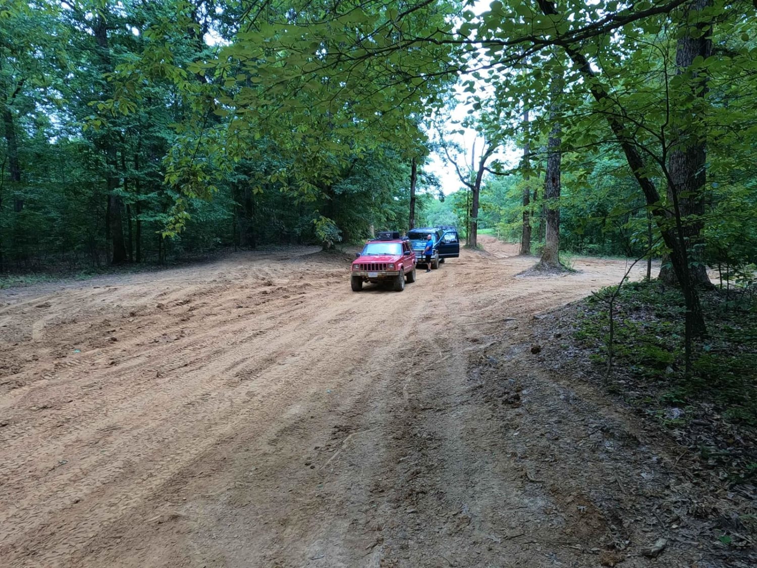
Trail Overview
The 5 to 4 Road is a semi-maintained, creek gravel and dirt primary road connecting point to point from the 5 intersection and going downhill to the 4 intersection in Turkey Bay OHV, within the Land Between the Lakes National Recreation Area. Its official ID is forestry M01. The road on its eastern point starts from the 5 intersection, and features a mostly solid dirt road, with scattered smaller golf ball- to softball-sized rock, gradually headed downward for the first 0.5 miles, featuring whoops, ruts, and moderate grades. Then it meets the bottoms of the valley, featuring coarse creek gravel mixed with dirt, and creek crossings at two points. The road slowly goes downhill leading to the final quarter mile, where the creek gravel and finer rock become predominant right into the 4 intersection.
Photos of 5 to 4 Road
Difficulty
The 5 to 4 Road is a great blend of the two main types of Turkey Bay primary roads, the hilly section roads and the creek bottom valley roads. This one features a blend of both. Though in times of dry weather, this road probably rides like a 2/10, the base rating given to this trail is the overall average of 3/10, due to the rutted dirt and small rock terrain of the hills mixed with the potential to turn the dirt into thin mud on these moderate grades. Due to the visible gravel, fine rock, and sand at the 4 intersection, it's likely that the creek bottom area does flash flood and carries heavy soil towards Turner Hollow Bay. This creates the serious potential for water fording in a decent rain, reaching ratings above 3/10. On an average day, you can still expect water collection spots, small mud sections, and potential mud holes, less than a foot in depth range. Difficulty can increase in heavy rains and wet seasons, and the bottoms could be mostly mud roads in times of consistent wet conditions.
Status Reports
5 to 4 Road can be accessed by the following ride types:
- High-Clearance 4x4
- SUV
- SxS (60")
- ATV (50")
- Dirt Bike
5 to 4 Road Map
Popular Trails
Rimshot FSR 124

Welcome to the Jungle

Twin Lakes South - FS 105
The onX Offroad Difference
onX Offroad combines trail photos, descriptions, difficulty ratings, width restrictions, seasonality, and more in a user-friendly interface. Available on all devices, with offline access and full compatibility with CarPlay and Android Auto. Discover what you’re missing today!