Fulk Cemetery Road - FS 309
Total Miles
0.6
Technical Rating
Best Time
Spring, Summer, Fall, Winter
Trail Type
Full-Width Road
Accessible By
Trail Overview
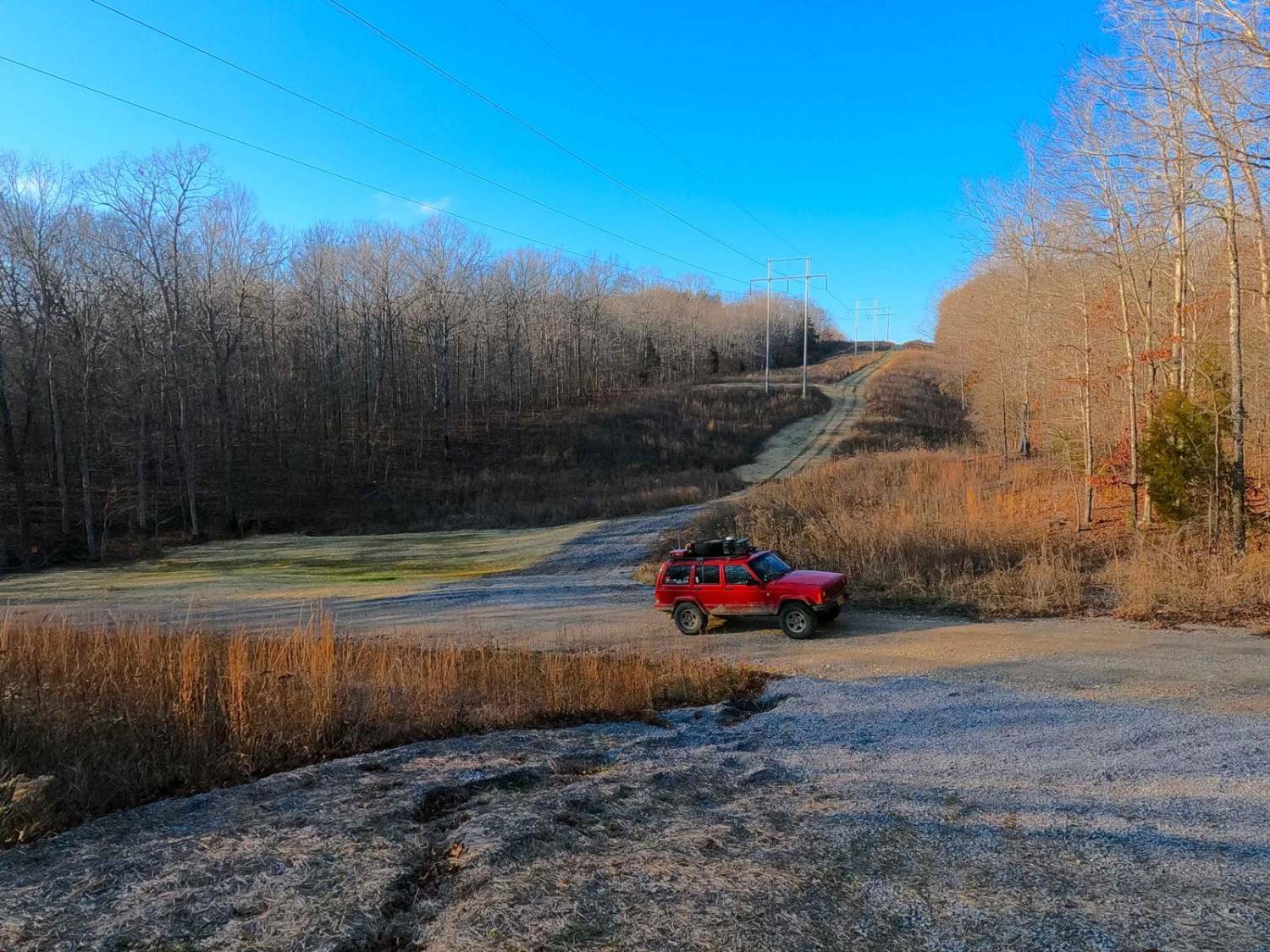
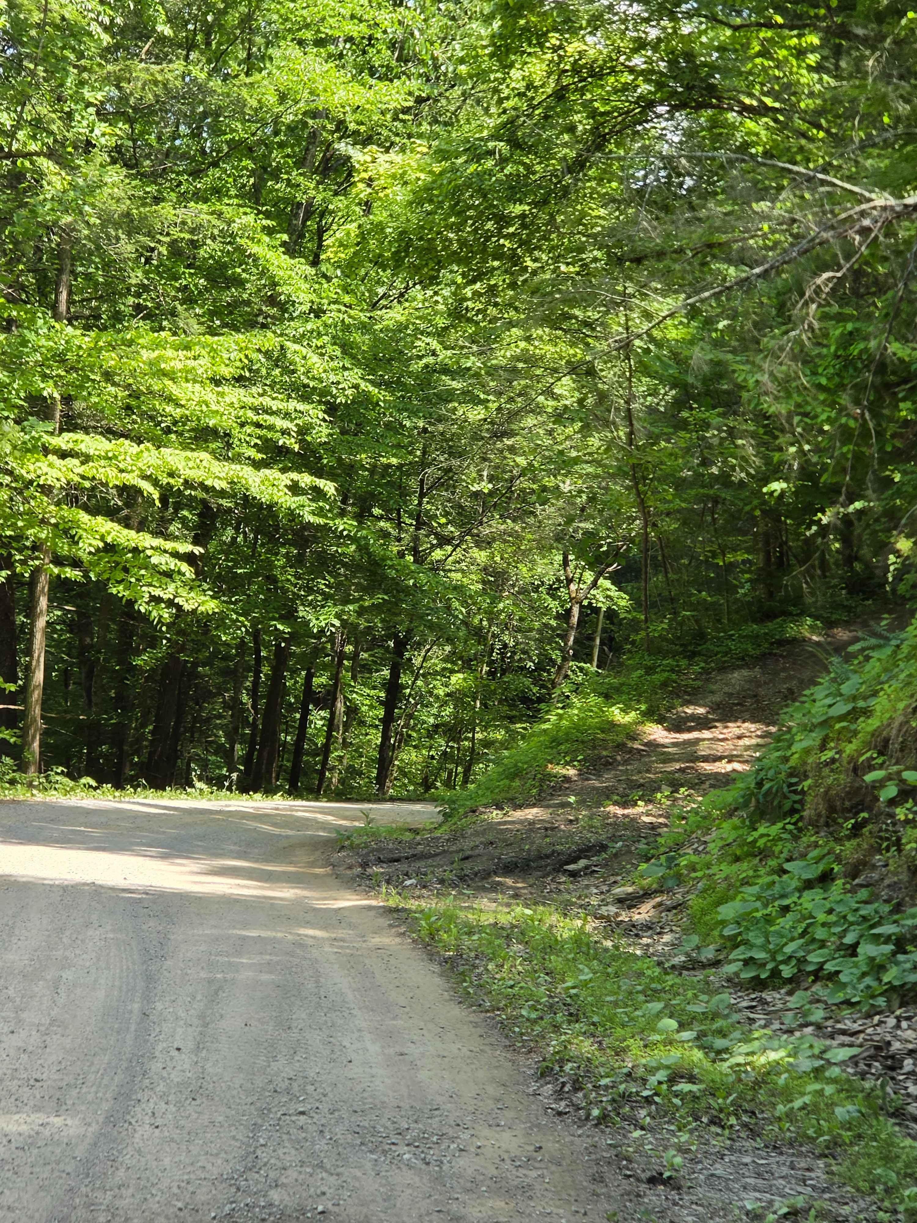
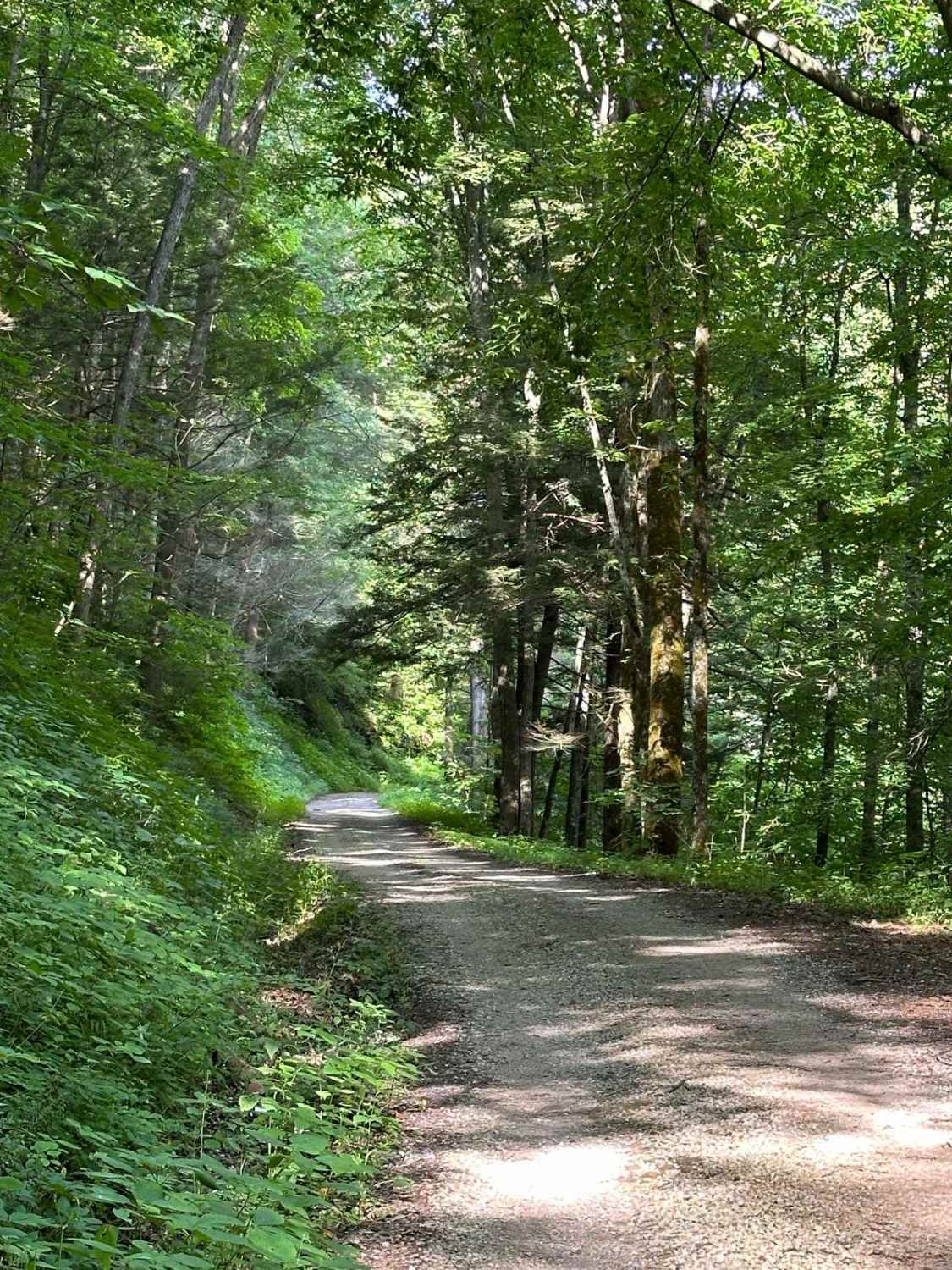
Fulk Cemetery Road - FS 309 is a gravel forest service road through the center-west Kentucky section, Kentucky Lake side, of the Land Between the Lakes National Recreation Area. The Fulk Cemetery Road and Duncan Bay Road go hand and hand, both are simple, but the Fulk is the destination, and features slightly more edge to it, probably due to it being a 300 road, with a lower priority on maintenance, this shows in the erosion being a little deeper, the dirt being more exposed in the pathway. But the purpose is in the access to the three cemeteries on this road, the Fulk, Duncan, and Mitchusson Cemeteries, for the length of the road this is pretty populated even for the Land Between The Lakes standard. Please respect those who came before us and leave these cemeteries as or better than they were found.
Photos of Fulk Cemetery Road - FS 309

Difficulty
Duncan Bay Road is a simple gravel road but is less maintained 300 road, it is given a base rating of 2/10, consisting of mild grades up and down the rolling hillside it tracks. Expect washboards, potholes, mounding of the gravel, several spots where the gravel fades to dirt, with the likelihood of being surface mud and potential water collection only amounting to splash level depths (less than 6"), and active signs of erosion on the hills and in the bottoms where water channelizes down the hills to the Duncan Creek.
History
The FS 309 features access to 3 cemeteries, the Fulk Cemetery being the most direct at its western endpoint featuring graves of Fulks that lived as far back as 1841 to as late as 1932. Then to the west of the FS 309's end, off the North/South Hiking trail at 36.89455, -88.11837 is the Mitchusson Cemetery, featuring two headstones, dated 1842-1924. Lastly, the near-forgotten Duncan Cemetery at 36.89081, -88.1094, is off a mid-track spur road, south of the FS 309. Please respect those who came before us, and leave the cemeteries as or better than they were found.
Status Reports
Fulk Cemetery Road - FS 309 can be accessed by the following ride types:
- High-Clearance 4x4
- SUV
Fulk Cemetery Road - FS 309 Map
Popular Trails
Saddler Road

Smith Cemetery Road - FS 120

Trail 20 Wash Branch
Pine Flat - Laurel Fork Road
The onX Offroad Difference
onX Offroad combines trail photos, descriptions, difficulty ratings, width restrictions, seasonality, and more in a user-friendly interface. Available on all devices, with offline access and full compatibility with CarPlay and Android Auto. Discover what you’re missing today!